Historic District in St. Augustine in St. Johns County, Florida — The American South (South Atlantic)
Flagler Memorial Presbyterian Church
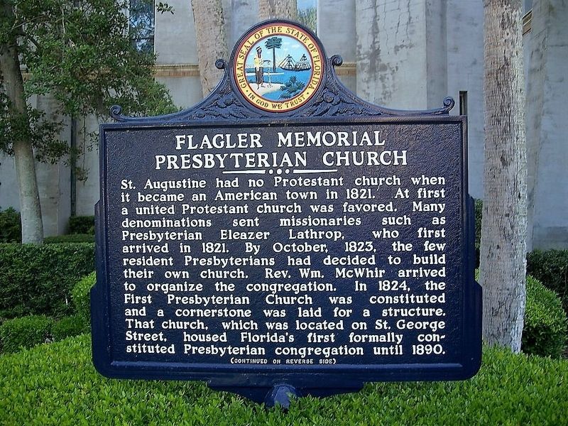
Photographed by Jay Kravetz, October 29, 2015
1. Flagler Memorial Presbyterian Church Marker
St. Augustine had no Protestant church when it became an American town in 1821. At first a united Protestant church was favored. Many denominations sent missionaries such as Presbyterian Eleazer Lathrop, who first arrived in 1821. By October, 1823, the few resident Presbyterians had decided to build their own church. Rev. Wm. McWhir arrived to organize the congregation. In 1824, the First Presbyterian Church was constituted and a cornerstone was laid for a structure. That church, which was located on St. George Street, housed Florida's first formally constituted Presbyterian congregation until 1890.
this page online
Erected 1974 by St. Johns County Historical Commission in cooperation with Department of State. (Marker Number F-223.)
Topics. This historical marker is listed in this topic list: Religion & Religious Structures. A significant historical year for this entry is 1824.
Location. 29° 53.612′ N, 81° 19.006′ W. Marker is in St. Augustine, Florida, in St. Johns County. It is in the Historic District. It is at the intersection of Valencia Street and Sevilla Street, on the right when traveling west on Valencia Street. Touch for map. Marker is at or near this postal address: 36 Valencia Street, Saint Augustine FL 32084, United States of America. Touch for directions.

Regionally, this marker is in First Coast and in Greater Jacksonville. It is also in the American South and on the Eastern Seaboard. Globally, it is in the North Atlantic Region, North America, a Gulf of Mexico state, the Western Hemisphere, the Western World, and the Anglosphere. Historically, it finds itself in what was once New Spain, the territory of the Mississippian
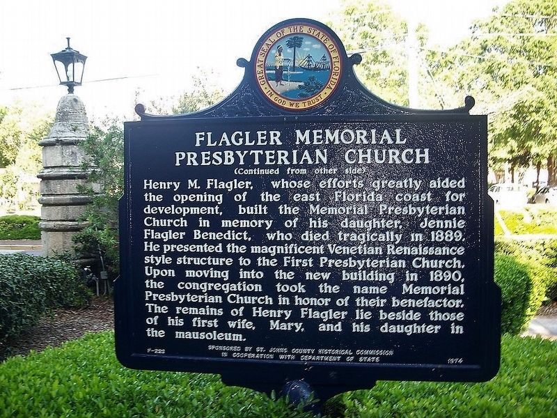
Photographed by Jay Kravetz, October 29, 2015
2. Flagler Memorial Presbyterian Church Marker
Other nearby markers. At least 8 other markers are within walking distance of this marker: Model Land Company National Register Historic District (within shouting distance of this marker); Anderson Cottage (about 300 feet away, measured in a direct line); Markland (about 600 feet away); American Opulence (about 700 feet away); The Fountain (about 800 feet away); Henry Flagler (about 800 feet away); Spanish Dragoon Barracks (approx. 0.2 miles away); Villa Zorayda (approx. 0.2 miles away). Touch for a list and map of all markers in St. Augustine.
Also see . . . Memorial Presbyterian Church. (Submitted on July 31, 2017.)
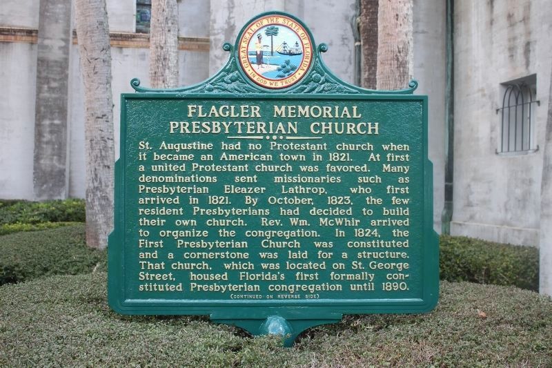
Photographed by Tim Fillmon, February 2, 2016
3. Flagler Memorial Presbyterian Church Marker, newly repainted.
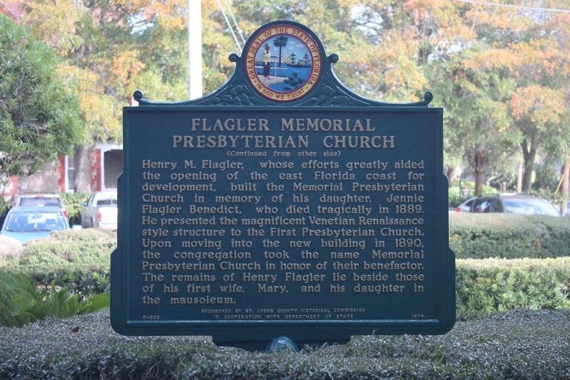
Photographed by Tim Fillmon, February 2, 2016
4. Flagler Memorial Presbyterian Church Marker reverse, newly repainted.
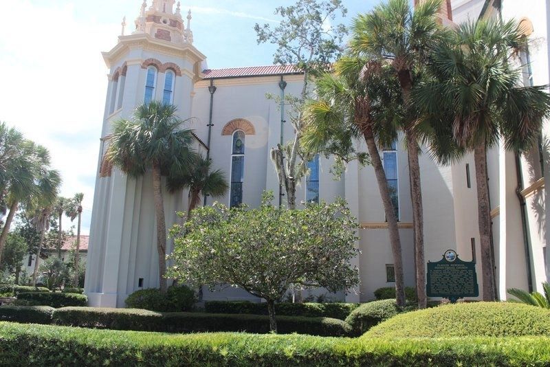
Photographed by Tim Fillmon, September 18, 2020
5. Flagler Memorial Presbyterian Church Marker
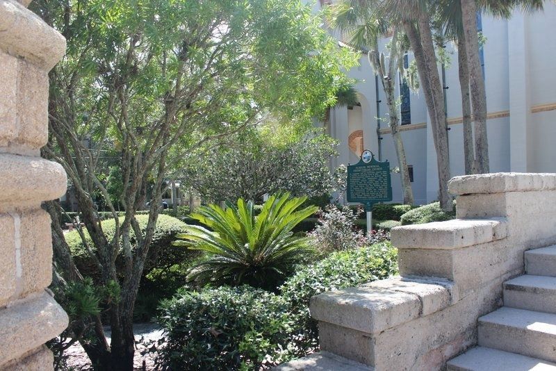
Photographed by Tim Fillmon, September 18, 2020
6. Flagler Memorial Presbyterian Church Marker
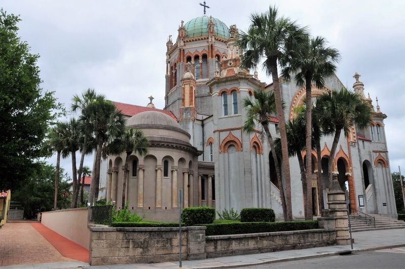
Photographed by Jay Kravetz, June 6, 2017
7. Flagler Memorial Presbyterian Church
Credits. This page was last revised on September 19, 2020. It was originally submitted on July 31, 2017, by Jay Kravetz of West Palm Beach, Florida. This page has been viewed 970 times since then and 94 times this year. Photos: 1, 2. submitted on July 31, 2017, by Jay Kravetz of West Palm Beach, Florida. 3, 4. submitted on July 31, 2017, by Tim Fillmon of Webster, Florida. 5, 6. submitted on September 18, 2020, by Tim Fillmon of Webster, Florida. 7. submitted on July 31, 2017, by Jay Kravetz of West Palm Beach, Florida. • Bernard Fisher was the editor who published this page.
