Valley Springs in Calaveras County, California — The American West (Pacific Coastal)
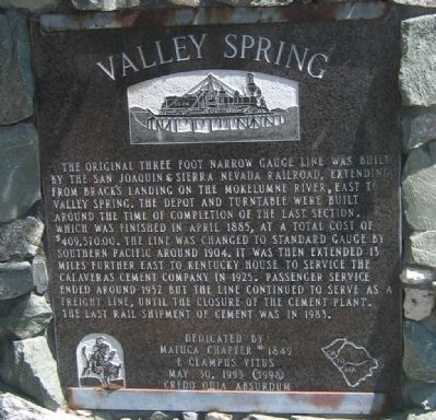
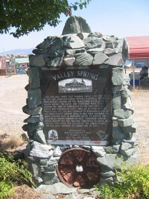
Valley Spring
Erected 1993 by Matuca Chapter #1849 E Clampus Vitus. (Marker Number 251.)
Topics and series. This historical marker is listed in these topic lists: Landmarks • Railroads & Streetcars. In addition, it is included in the California Historical Landmarks, and the E Clampus Vitus series lists. A significant historical month for this entry is April 1885.
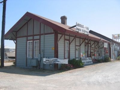
Location. 38° 11.474′ N, 120° 49.756′ W. Marker is in Valley Springs, California, in Calaveras County. Marker is on State Highway 12, on the right when traveling east. Marker is located next to the parking lot of the old train depot. Touch for map. Marker is in this post office area: Valley Springs CA 95252, United States of America. Touch for directions.
Other nearby markers. At least 8 other markers are within 7 miles of this marker, measured as the crow flies. Double Springs (approx. 2.3 miles away); Campo Seco (approx. 2.8 miles away); a different marker also named Double Springs (approx. 4.9 miles away); Camanche (approx. 5.1 miles away); Paloma (Fosteria) (approx. 6 miles away); California Pioneers Reinterred from Poverty Bar Cemetery (approx. 6.9 miles away); Lancha Plana (approx. 7 miles away); Jenny Lind (approx. 7 miles away). Touch for a list and map of all markers in Valley Springs.
More about this marker. In 1937, Valley Spring was designated California Historical Landmark No. 251.
Also see . . .
1. Bancroft Library Map of Route of the San Joaquin & Sierra Nevada Railroad. (Submitted on August 23, 2008.)
2. Wikipedia Account San Joaquin & Sierra Nevada Railroad. (Submitted on August 23, 2008.)
Credits. This page was last revised on January 23, 2024. It was originally submitted on August 23, 2008, by Syd Whittle of Mesa, Arizona. This page has been viewed 2,437 times since then and 29 times this year. Photos: 1, 2, 3. submitted on August 23, 2008, by Syd Whittle of Mesa, Arizona. • Kevin W. was the editor who published this page.


