Beekmantown in Clinton County, New York — The American Northeast (Mid-Atlantic)
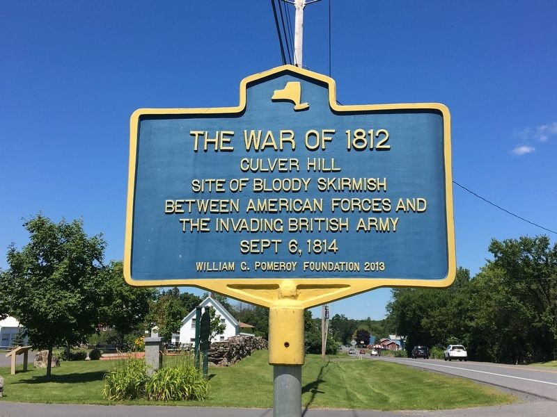
The War of 1812
Erected 2013 by William G. Pomeroy Foundation.
Topics and series. This historical marker is listed in this topic list: War of 1812. In addition, it is included in the William G. Pomeroy Foundation series list. A significant historical date for this entry is September 6, 1814.
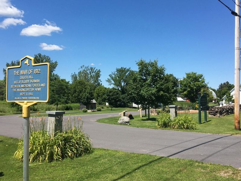
Location. 44° 44.829′ N, 73° 28.181′ W. Marker is in Beekmantown, New York, in Clinton County. Marker is on New York State Route 22, 0.4 miles south of Burke Road, on the right when traveling south. Marker is at the entrance to Culver Hill Historic Park. Touch for map. Marker is in this post office area: Plattsburgh NY 12901, United States of America. Touch for directions.
Other nearby markers. At least 8 other markers are within 4 miles of this marker, measured as the crow flies. Culver Hill Memorial (within shouting distance of this marker); East Beekmantown (approx. 0.8 miles away); Sheldon-Hagar Homestead (approx. 2.1 miles away); Isaac Platt Home (approx. 2.2 miles away); a different marker also named The War of 1812 (approx. 2.7 miles away); Col. Thomas Miller's Home (approx. 2.8 miles away); Heritage Trail (approx. 3.3 miles away); Philip Farnsworth's Tavern (approx. 3.3 miles away). Touch for a list and map of all markers in Beekmantown.
Regarding The War of 1812. In the skirmish at Culver Hill, Major John Wool, with a force of 250 regular American troops and about 30 militiamen, took a stand against British regulars commanded by Lieutenant Colonel James Willington. Willington was killed, but the Americans were forced to retreat to the south, where they regrouped at Halsey's Corners.
Credits. This page was last revised on August 4, 2017. It was originally submitted on August 1, 2017, by Ellen Adams of Plattsburgh, New York. This page has been viewed 311 times since then and 21 times this year. Photos: 1, 2, 3. submitted on August 1, 2017, by Ellen Adams of Plattsburgh, New York. • Bill Pfingsten was the editor who published this page.


