Lookout Mountain in Hamilton County, Tennessee — The American South (East South Central)
Battle of Wauhatchie
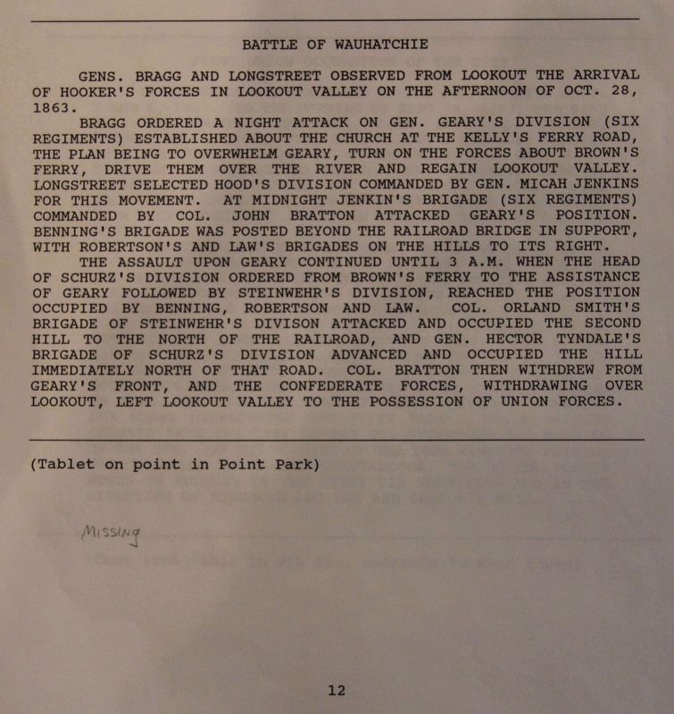
Bragg ordered a night attack on General Geary's Division (six regiments) established about the church at the Kelly's Ferry Road, the plan being to overwhelm Geary, turn on the forces about Brown's Ferry, drive them over the river and regain Lookout Valley. Longstreet selected Hood's Division commanded by General Micah Jenkins for this movement. At midnight Jenkins' Brigade (six regiments) commanded by Colonel John Bratton attacked Geary's position. Benning's Brigade was posted beyond the railroad bridge in support, with Robertson's and Law's Brigades on the hills to its right.
The assault upon Geary continued until 3 a.m. when the head of Schurz's Division ordered from Brown's Ferry to the assistance of Geary followed by Steinwehr's Division, reached the position occupied by Benning, Robertson, and Law. Colonel Orland Smith's Brigade of Steinwehr's Division attacked and occupied the second hill to the north of the railroad, and General Hector Tyndale's Brigade of Schurz's Division attacked and occupied the hill immediately north of that road. Colonel Bratton then withdrew from Geary's front, and the Confederate forces, withdrawing over Lookout, left Lookout Valley to the possession of Union forces.
Erected 1890 by the Chickamauga and Chattanooga National Military Park Commission. (Marker Number MT-12.)
Topics. This historical marker is listed in this topic list: War, US Civil. A significant historical date for this entry is October 28, 1863.
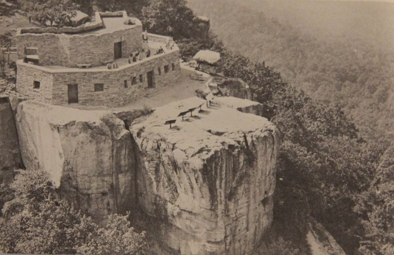
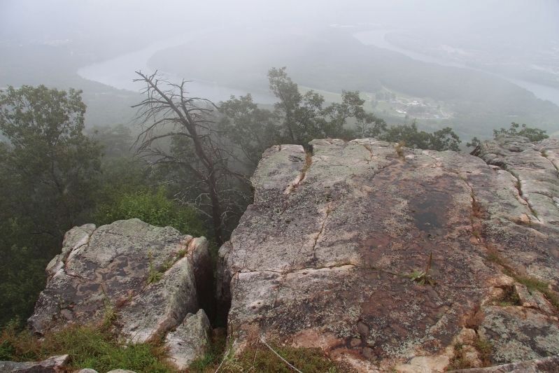
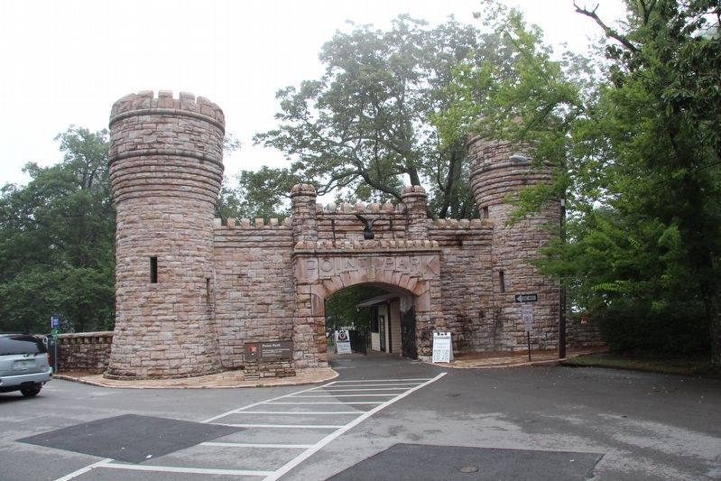
Location. Marker is missing. It was located near 35° 0.758′ N, 85° 20.63′ W. Marker was in Lookout Mountain, Tennessee, in Hamilton County. Marker could be reached from Point Park Road north of East Brow Road, on the right when traveling west. This tablet was located in Point Park, atop Lookout Mountain, just beyond the Ochs Museum and the museum observation deck, on the rock surface that makes up "The Point" of Lookout Mountain. Touch for map. Marker was in this post office area: Lookout Mountain TN 37350, United States of America. Touch for directions.
Other nearby markers. At least 8 other markers are within walking distance of this location. Tennessee River and Moccasin Bend (here, next to this marker); Cobham's Brigade (here, next to this marker); Lookout Valley and Browns Ferry (here, next to this marker); Battle Above the Clouds (a few steps from this marker); 29th Pennsylvania Infantry (a few steps from this marker); 111th Pennsylvania Infantry (a few steps from this marker); Chattanooga and Missionary Ridge
(a few steps from this marker); Lookout Mountain Trails (a few steps from this marker). Touch for a list and map of all markers in Lookout Mountain.
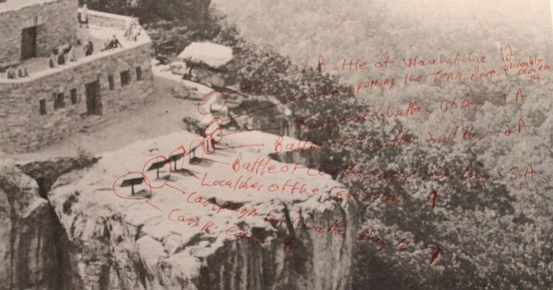
More about this marker. When standing on the Ochs Museum observation deck, and looking at the rock surface of "The Point" of Lookout Mountain, that the museum is situated upon, there used to be eight tablets located across the rock surface of "The Point." When looking left to right, this tablet was the first of the eight tablets that were situated there.
Photographed By Dale K. Benington, July 12, 2017
7. The Text from the Battle of Wauhatchie Marker
View of page 12 from the National Park Service’s record book on the Chattanooga - Chickamauga ”MT-numbered” listings of classified structures, which is kept in the Chickamauga Battlefield Park's Visitor Center.
Credits. This page was last revised on July 11, 2019. It was originally submitted on August 1, 2017, by Dale K. Benington of Toledo, Ohio. This page has been viewed 871 times since then and 75 times this year. Photos: 1, 2, 3, 4, 5, 6, 7. submitted on August 1, 2017, by Dale K. Benington of Toledo, Ohio.
