St. Paul's Anglican Church
1856
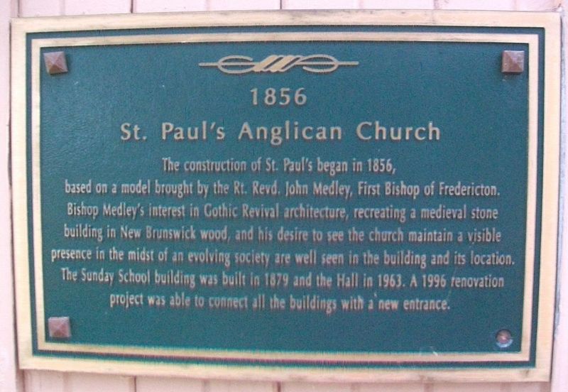
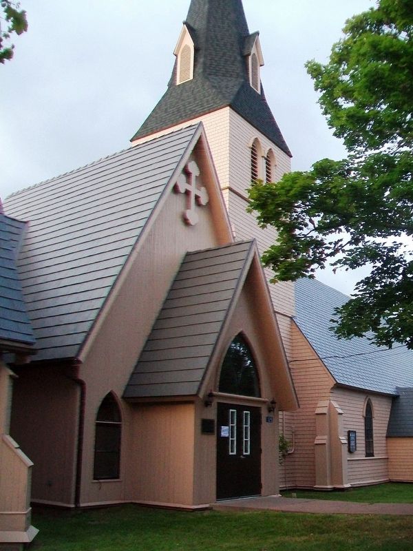
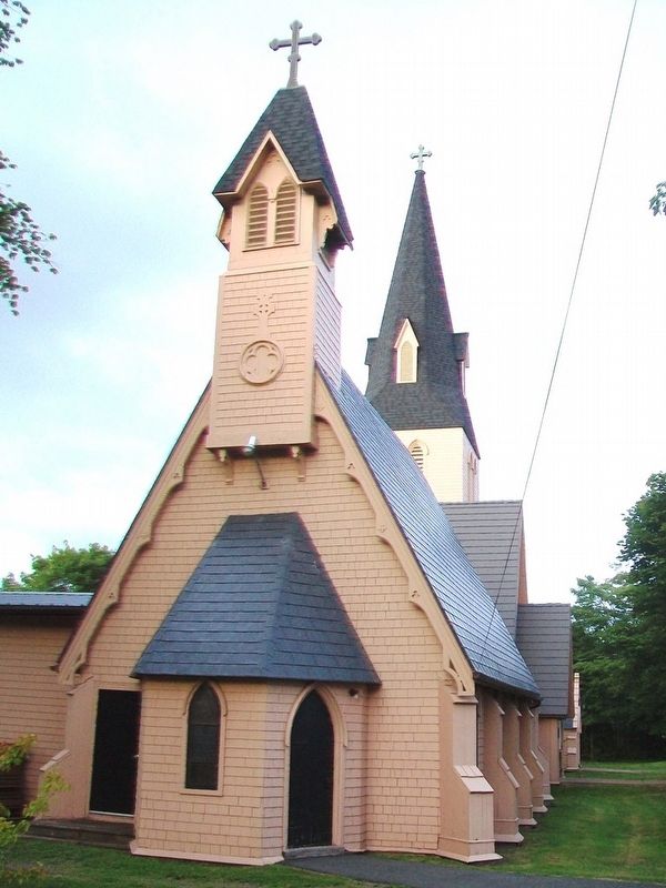
The construction of St. Paul's began in 1856, based on a model brought by the Rt. Rev. John Medley, First Bishop of Fredericton. Bishop Medley's interest in Gothic Revival architecture, recreating a medieval stone building in New Brunswick wood, and his desire to see the church maintain a visible presence in the midst of an evolving society are well seen in the building and its location. The Sunday School building was built in 1879 and the Hall in 1963. A 1996 renovation project was able to connect all the buildings with a new entrance.
Erected 2000 by the Town of Sackville.
Topics. This historical marker is listed in these topic lists: Churches & Religion • Man-Made Features. A significant historical year for this entry is 1856.
Location. 45° 53.983′ N, 64° 22.132′ W. Marker is in Sackville, New Brunswick, in Westmorland County. Marker is on Main Street (New Brunswick Route 940), on the right when traveling north. Touch for map. Marker is at or near this postal address: 125 Main Street, Sackville NB E4L 4B2, Canada. Touch for directions.
Other nearby markers. At least 8 other markers are within walking distance of this marker. Town Hall (about 210 meters away, measured in a direct line); Anglican Church Rectory (about 210 meters away); Harold Geddes (about 210 meters away); The Wood Block / L'Edifice Wood (about 210
Also see . . . St. Paul's Anglican Church, Sackville, New Brunswick. (Submitted on August 1, 2017, by William Fischer, Jr. of Scranton, Pennsylvania.)
Credits. This page was last revised on July 22, 2020. It was originally submitted on August 1, 2017, by William Fischer, Jr. of Scranton, Pennsylvania. This page has been viewed 151 times since then and 3 times this year. Photos: 1, 2, 3, 4. submitted on August 1, 2017, by William Fischer, Jr. of Scranton, Pennsylvania.


