Markleville in Madison County, Indiana — The American Midwest (Great Lakes)
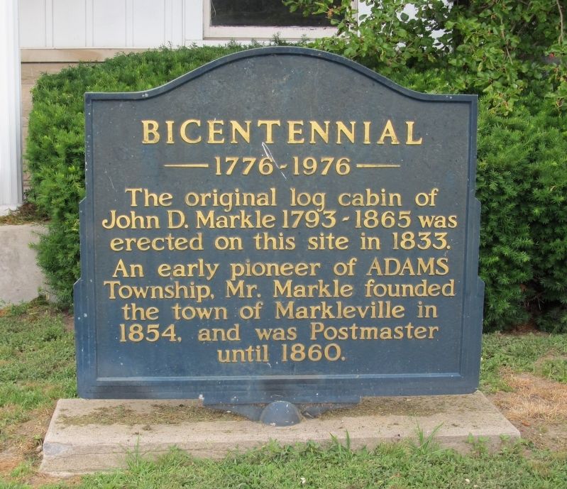
Bicentennial
1776 – 1976
Photographed by Paul Fehrenbach, June 7, 2017
1. Bicentennial Marker
Erected 1976.
Topics and series. This historical marker is listed in this topic list: Settlements & Settlers. In addition, it is included in the The Spirit of ’76, America’s Bicentennial Celebration series list. A significant historical year for this entry is 1833.
Location. 39° 58.653′ N, 85° 36.859′ W. Marker is in Markleville, Indiana, in Madison County. It is at the intersection of Main Street (Indiana Route 38) and County Route 300, on the right when traveling west on Main Street. Touch for map. Marker is at or near this postal address: 9 E Main Street, Markleville IN 46056, United States of America. Touch for directions.

Regionally, this marker is in Central Indiana and specifically in Greater Indianapolis. It is also in the American Midwest and in the Corn Belt. Globally, it is in North America, the Western Hemisphere, the Western World, and the Anglosphere. Historically, it finds itself in
this page online
Other nearby markers. At least 8 other markers are within 8 miles of this marker, measured as the crow flies: Massacre of Indians (approx. 0.6 miles away); Site of Warrington Flour Mills (approx. 4.9 miles away); Wilkinson Veterans Memorial (approx. 6.3 miles away); In Memory of Harvey Weir Cook (approx. 6.3 miles away); Walter Dorwin Teague / Dean of Industrial Design (approx. 6.9 miles away); Carnegie Library (approx. 6.9 miles away); William (Bill) Walker (approx. 7.1 miles away); The Falls (approx. 7.1 miles away).
Photographed by Paul Fehrenbach, June 7, 2017
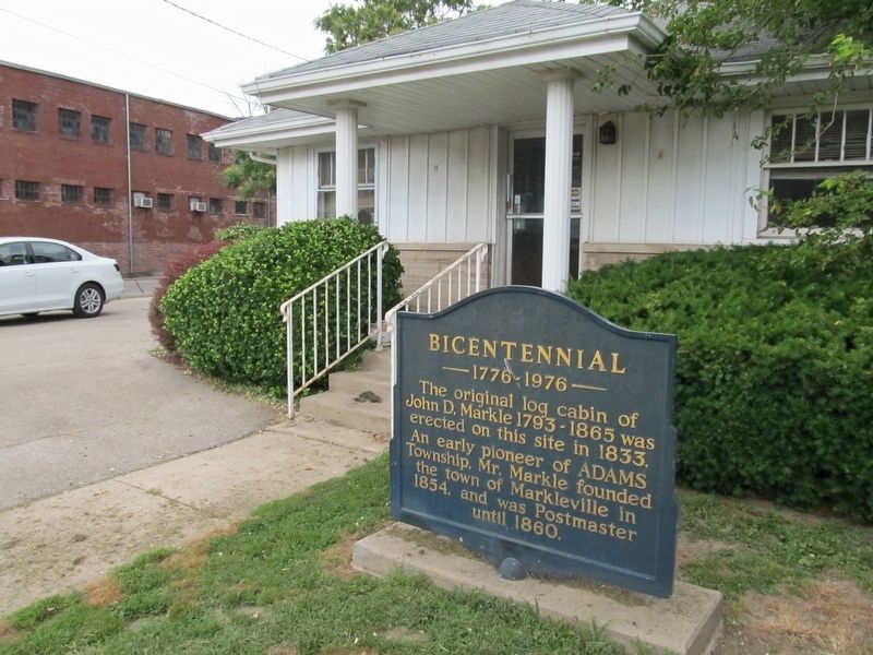
2. Bicentennial Marker
Photographed by Paul Fehrenbach, June 7, 2017
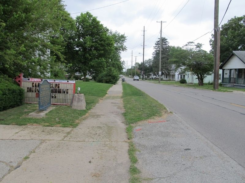
3. Bicentennial Marker
looking east along Main Street
Photographed by Paul Fehrenbach, June 7, 2017
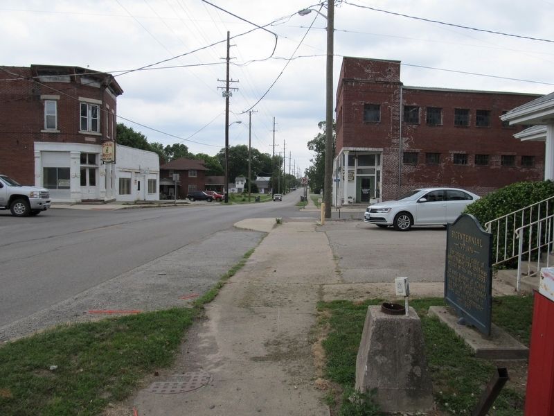
4. Bicentennial Marker
looking west along Main Street
Credits. This page was last revised on August 4, 2017. It was originally submitted on August 2, 2017, by Paul Fehrenbach of Richfield, Wisconsin. This page has been viewed 573 times since then and 37 times this year. Photos: 1, 2, 3, 4. submitted on August 2, 2017, by Paul Fehrenbach of Richfield, Wisconsin. • Bill Pfingsten was the editor who published this page.
