
Sackville in Tantramar, New Brunswick — The Atlantic Provinces (North America)
Town Hall
1924
Photographed by William Fischer, Jr., July 28, 2017
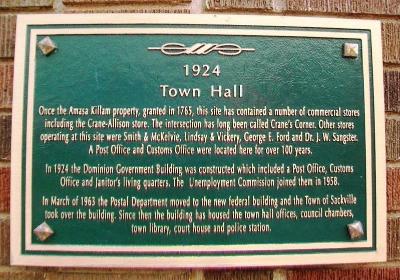
1. Town Hall Marker
Once the Amasa Killam property, granted in 1765, this site has contained a number of commercial stores including the Crane-Allison store. The intersection has long been called Crane's Corner. Other stores operating at this site were Smith & McKelvie, Lindsay & Vickery, George E. Ford and Dr. J.W. Sangster. A Post Office and Customs Office were located here for over 100 years.
In 1924 the Dominion Government Building was constructed which included a Post Office, Customs Office and Janitor's living quarters. The Unemployment Commission joined them in 1958.
In March of 1963 the Postal Department moved to the new federal building and the Town of Sackville took over the building. Since then the building has housed the town hall offices, council chambers, town library, court house and police station.
Topics and series. This historical marker is listed in these topic lists: Communications • Government & Politics • Industry & Commerce. In addition, it is included in the Postal Mail and Philately series list. A significant historical month for this entry is March 1963.
Location. 45° 53.876′ N, 64° 22.104′ W. Marker is in
this page online

Regionally, this marker is in Greater Moncton & Southeast. It is also in the Maritimes and in Atlantic Canada. Globally, it is in the North Atlantic Region, North America, the Western Hemisphere, the Western World, and the Anglosphere. Historically, it finds itself in what was once a British colony, the Viceroyalty of New France, and Acadia.
Other nearby markers. At least 8 other markers are within walking distance of this marker: Harold Geddes (within shouting distance of this marker); The Wood Block / L'Edifice Wood (within shouting distance of this marker); The Ford Block (within shouting distance of this marker); The Henderson Block (within shouting distance of this marker); Copp Block (within shouting distance of this marker); St. Paul's Anglican Church (about 210 meters away, measured in a direct line);
Photographed by William Fischer, Jr., July 28, 2017
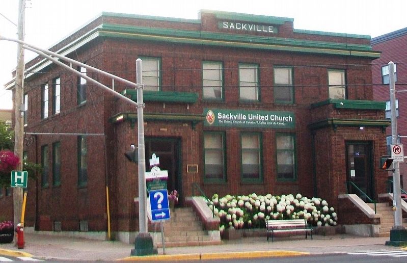
2. Former Town Hall and Marker
Credits. This page was last revised on May 15, 2024. It was originally submitted on August 2, 2017, by William Fischer, Jr. of Reynoldsburg, Ohio. This page has been viewed 283 times since then and 11 times this year. Photos: 1, 2. submitted on August 2, 2017, by William Fischer, Jr. of Reynoldsburg, Ohio.
