Near Boise City in Cimarron County, Oklahoma — The American South (West South Central)
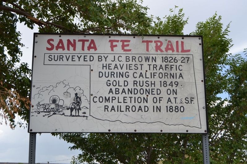
Santa Fe Trail
Surveyed by J.C. Brown 1826-27
Heaviest traffic during California Gold Rush 1849
Abandoned on completion of A.T.&S.F. railroad in 1880
Topics and series. This historical marker is listed in this topic list: Roads & Vehicles. In addition, it is included in the Santa Fe Trail series list. A significant historical year for this entry is 1826.
Location. 36° 51.855′ N, 102° 30.952′ W. Marker is near Boise City, Oklahoma, in Cimarron County. Marker is on U.S. 287, 3.1 miles north of E0130 Road, on the left when traveling north. Touch for map. Marker is in this post office area: Boise City OK 73933, United States of America. Touch for directions.
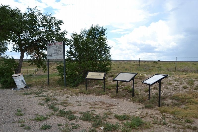
Other nearby markers. At least 3 other markers are within 10 miles of this marker, measured as the crow flies. A different marker also named The Santa Fe Trail (a few steps from this marker); The Mormon Battalion in the Oklahoma Panhandle (approx. 9.3 miles away); Boise City Bombed (approx. 9.3 miles away).
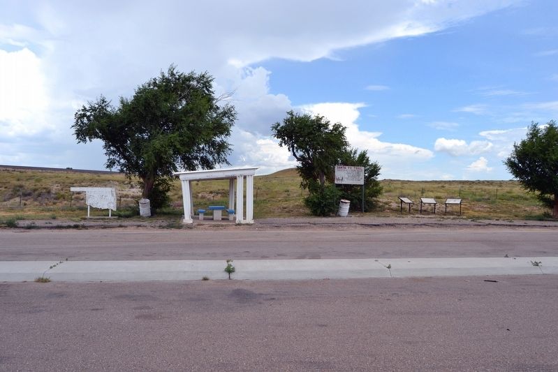
Regarding Santa Fe Trail. The Santa Fe Trail ran east-west directly behind the marker.
Also see . . .
1. Santa Fe National Historic Trail. From the National Park Service website. (Submitted on August 2, 2017.)
2. Santa Fe Trail Association. Official website of the association. (Submitted on August 2, 2017.)
Credits. This page was last revised on August 2, 2017. It was originally submitted on August 2, 2017, by Duane Hall of Abilene, Texas. This page has been viewed 309 times since then and 28 times this year. Photos: 1, 2, 3. submitted on August 2, 2017, by Duane Hall of Abilene, Texas.


