The Forks in Winnipeg, Manitoba — Canada’s Prairie Region (North America)
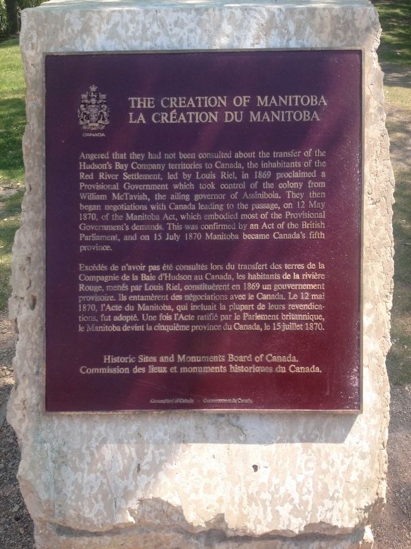
The Creation of Manitoba
La Création du Manitoba
Angered that they had not been consulted about the transfer of the Hudson's Bay Company territories to Canada, the inhabitants of the Red River Settlement, led by Louis Riel, in 1869 proclaimed a Provisional Government which took control of the colony from William McTavish, the ailing governor of Assiniboia. They then began negotiations with Canada leading to the passage, on 12 May 1870, of the Manitoba Act, which embodied most of the Provisional Government's demands. This was confirmed by an Act of the British Parliament, and on 15 July 1870 Manitoba became Canada's fifth province.
Erected by Historic Sites and Monuments Board of Canada.
Topics and series. This historical marker is listed in these topic lists: Government & Politics • Political Subdivisions • Settlements & Settlers. In addition, it is included in the Canada, Historic Sites and Monuments Board series list. A significant historical date for this entry is July 15, 1870.
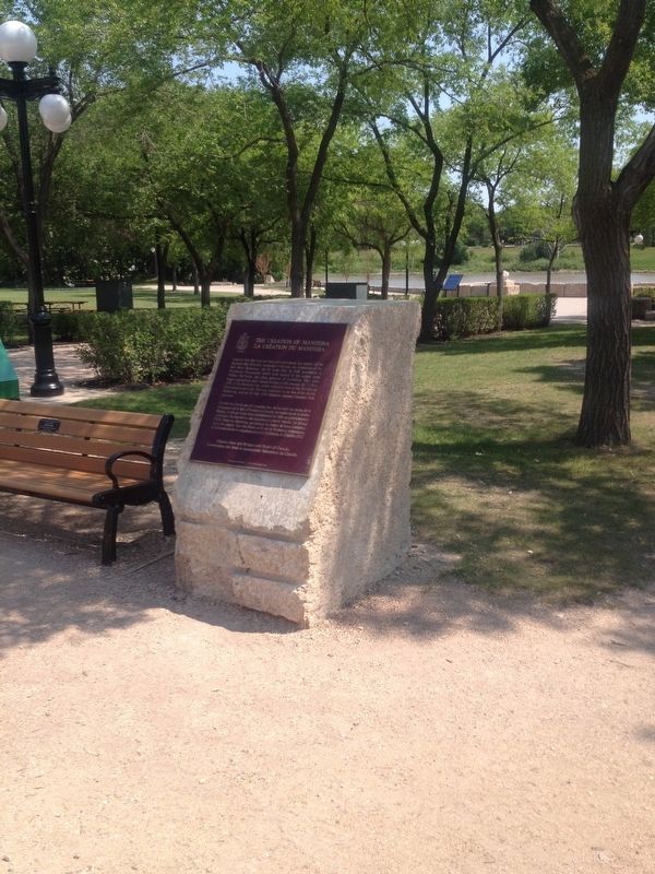
Location. 49° 53.341′ N, 97° 7.688′ W. Marker is in Winnipeg, Manitoba. It is in The Forks. Marker is located on a walking path between Israel Asper Way and The Forks National Historic Amphitheatre. Touch for map. Marker is in this post office area: Winnipeg MB R3C 4Y3, Canada. Touch for directions.
Other nearby markers. At least 8 other markers are within walking distance of this marker. Forks of the Red and Assiniboine (here, next to this marker); The Path of Time (within shouting distance of this marker); Pierre Gaultier de Varennes et de La Vérendrye (approx. 0.3 kilometers away); The Five Saint Boniface Cathedrals (approx. 0.3 kilometers away); Joseph Royal (approx. 0.3 kilometers away); Les Soeurs Nolin / Nolin Sisters (approx. 0.4 kilometers away); Canadian Northern Railway Freight Lift Bridge, East Yard (approx. 0.4 kilometers away); Le Couvent des Soeurs Grises / Grey Nuns' Convent (approx. 0.4 kilometers away). Touch for a list and map of all markers in Winnipeg.
Also see . . . Wikipedia - Manitoba. (Submitted on August 3, 2017, by Kevin Craft of Bedford, Quebec.)
Credits. This page was last revised on July 10, 2023. It was originally submitted on August 3, 2017, by Kevin Craft of Bedford, Quebec. This page has been viewed 314 times since then and 15 times this year. Photos: 1, 2. submitted on August 3, 2017, by Kevin Craft of Bedford, Quebec.

