Kenora in Kenora District, Ontario — Central Canada (North America)
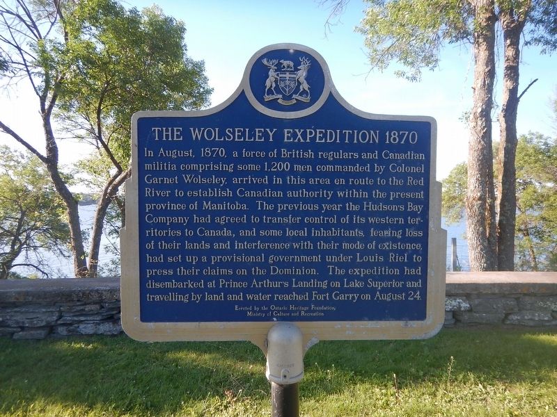
The Wolseley Expedition 1870
In August, 1870, a force of British regulars and Canadian militia comprising some 1,200 men commanded by Colonel Garnet Wolseley, arrived in this area en route to the Red River to establish Canadian authority within the present province of Manitoba. The previous year the Hudson's Bay Company had agreed to transfer control of its western territories to Canada, and some local inhabitants, fearing loss of their lands and interference with their mode of existence, had set up a provisional government under Louis Riel to press their claims on the Dominion. The expedition had disembarked at Prince Arthur's Landing on Lake Superior and travelling by land and water reached Fort Garry on August 24.
Erected by Ontario Heritage Foundation.
Topics. This historical marker is listed in these topic lists: Notable Events • Settlements & Settlers. A significant historical date for this entry is August 24, 1870.
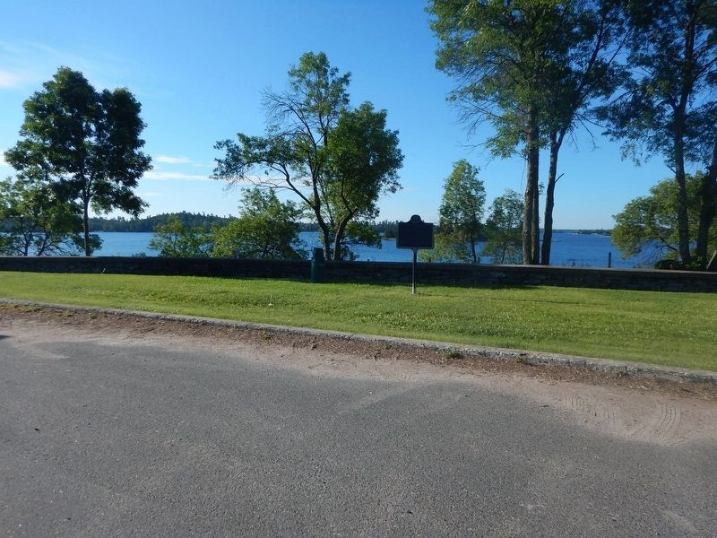
Location. 49° 45.504′ N, 94° 32.407′ W. Marker is in Kenora, Ontario, in Kenora District. Marker is on Trans-Canada Highway (Provincial Highway 17), on the right when traveling east. Marker is in a small turn-out just east of the Keewatin/Kenora bridge. Touch for map. Marker is in this post office area: Kenora ON P9N 3P7, Canada. Touch for directions.
Other nearby markers. At least 4 other markers are within 5 kilometers of this marker, measured as the crow flies. Heenan Highway (approx. 1.1 kilometers away); Rat Portage Post (approx. 3.3 kilometers away); The Kenora Thistles (approx. 3.6 kilometers away); Rev. Albert Lacombe, O.M.I. (approx. 4 kilometers away).
Credits. This page was last revised on August 3, 2017. It was originally submitted on August 3, 2017, by Kevin Craft of Bedford, Quebec. This page has been viewed 174 times since then and 21 times this year. Photos: 1, 2. submitted on August 3, 2017, by Kevin Craft of Bedford, Quebec.

