
Sackville in Tantramar, New Brunswick — The Atlantic Provinces (North America)
Dr. Copp's House
1880 [sic - 1895]
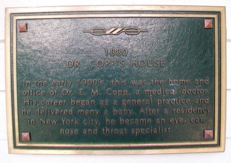
Photographed by William Fischer, Jr., July 29, 2017
1. Dr. Copp's House Marker
Erected 1999 by the Town of Sackville.
Topics. This historical marker is listed in this topic list: Notable Buildings.
Location. 45° 53.818′ N, 64° 21.894′ W. Marker is in Sackville, New Brunswick, in Tantramar. It is on Bridge Street (New Brunswick Route 106) just east of Centennial Park, on the right when traveling east. Touch for map. Marker is at or near this postal address: 47 Bridge Street, Sackville NB E4L 3N8, Canada. Touch for directions.

Regionally, this marker is in Greater Moncton & Southeast. It is also in the Maritimes and in Atlantic Canada. Globally, it is in the North Atlantic Region, North America, the Western Hemisphere, the Western World, and the Anglosphere. Historically, it finds itself in what was once a British colony, the Viceroyalty of New France, and Acadia.
Other nearby markers. At
this page online
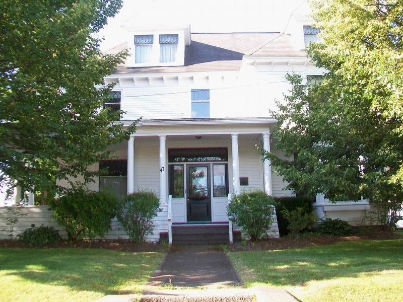
Photographed by William Fischer, Jr., July 29, 2017
2. Dr. Copp's House and Marker
Credits. This page was last revised on June 23, 2024. It was originally submitted on August 3, 2017, by William Fischer, Jr. of Reynoldsburg, Ohio. This page has been viewed 231 times since then and 17 times this year. Photos: 1, 2. submitted on August 3, 2017, by William Fischer, Jr. of Reynoldsburg, Ohio.
