St. Andrew's Presbyterian Church
1905
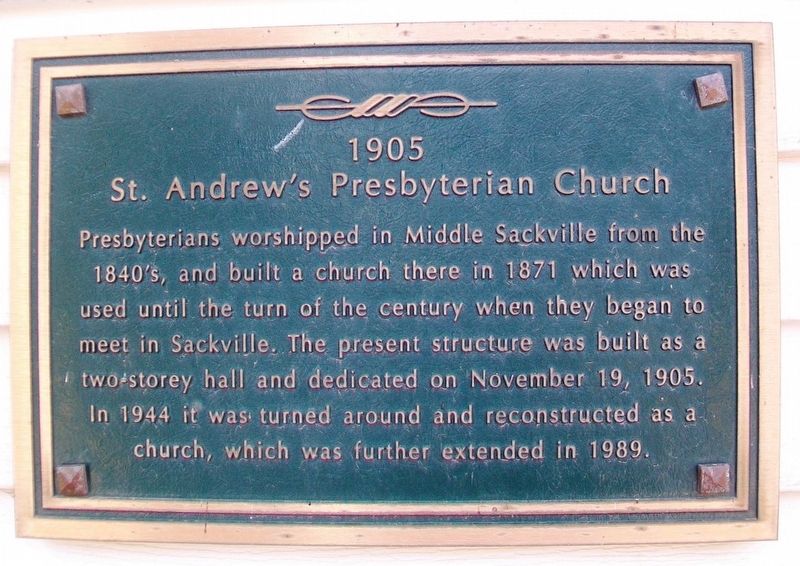
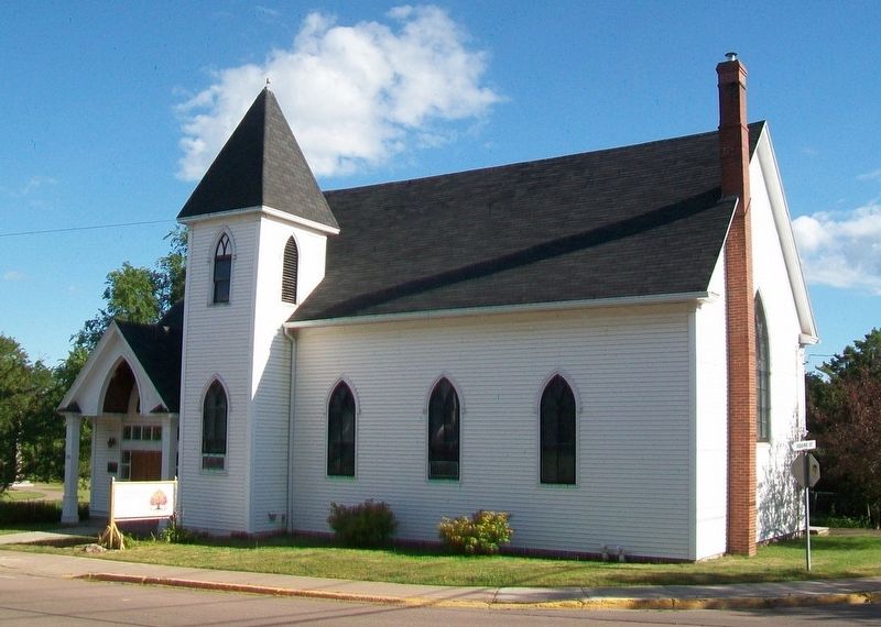
Presbyterians worshipped in Middle Sackville from the 1840's and built a church there in 1871 which was used until the turn of the century when they began to meet in Sackville. The present structure was built as a two-storey hall and dedicated on November 19, 1905. In 1944 it was turned around and reconstructed as a church, which was further extended in 1989.
Erected 2000 by the Town of Sackville.
Topics. This historical marker is listed in this topic list: Churches & Religion. A significant historical date for this entry is November 19, 1905.
Location. 45° 53.842′ N, 64° 21.918′ W. Marker is in Sackville, New Brunswick, in Westmorland County. Marker is on Bridge Street (New Brunswick Route 106) just east of Centennial Park, on the left when traveling east. Touch for map. Marker is at or near this postal address: 36 Bridge Street, Sackville NB E4L 3N7, Canada. Touch for directions.
Other nearby markers. At least 8 other markers are within walking distance of this marker. HMCS/NCSM Sackville (within shouting distance of this marker); 8th Canadian Hussars (Princess Louise's) Ferret Armored Car (within shouting distance of this marker); Battle of Normandy (within shouting distance of this marker); The Royal Canadian Air Force (within shouting distance of this marker); Dr. Copp's House (within shouting distance of
Credits. This page was last revised on November 20, 2020. It was originally submitted on August 3, 2017, by William Fischer, Jr. of Scranton, Pennsylvania. This page has been viewed 134 times since then and 6 times this year. Photos: 1, 2. submitted on August 3, 2017, by William Fischer, Jr. of Scranton, Pennsylvania.

