Near Northeast Harbor in Hancock County, Maine — The American Northeast (New England)
Seawater Bay
Acadia National Park
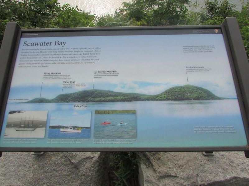
You are standing by Somes Sound, one of only a few US fjards – glacially carved valleys drowned by the sea. This five-mile-long bay has attracted people for thousands of years. English homesteaders Abraham and Hannah Somes and James and Rachel Richardson settled their families in 1761 at the head of the bay at what is now Somesville. Schooners and merchant ships soon plied these waters with loads of lumber, fish, and granite. Today, residents and visitors alike relish the scenery on foot, or by water on sailboats, tour boats, and kayaks.
Somes Sound nearly divides Mount Desert Island in half. Visit the villages and Acadia National Park sites on the west side of Somes Sound, the island’s “quiet side.”
Somes Sound is 150 feet (46 m) at its deepest point but decreases to about 30 feet (10 m) at its entrance, appropriately called The Narrows.
Erected by National Park Service.
Topics. This historical marker is listed in these topic lists: Settlements & Settlers • Waterways & Vessels.
Location. 44° 19.111′ N, 68° 18.369′ W. Marker is near Northeast Harbor, Maine, in Hancock County. Marker is on Sergeant Drive, on the left when traveling north. Touch for map. Marker is in this post office area: Northeast Harbor ME 04662, United States of America. Touch for directions.
Other nearby markers. At least 8 other markers are within 3 miles of this marker, measured as the crow flies. Somes Sound (a few steps from this marker); Carriage Roads - Building the Roads (approx. 1.1 miles away); Joseph T. Musetti Jr. Veterans Memorial Park (approx. 2 miles away); Carriage Roads - The Gate Lodges (approx. 2.6 miles away); Gateway to Acadia (approx. 2.7 miles away); Drink in the View (approx. 2.8 miles away); Granite Foundations (approx. 2.8 miles away); Glacial Freight (approx. 3.1 miles away). Touch for a list and map of all markers in Northeast Harbor.
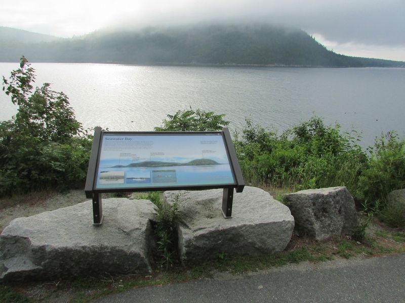
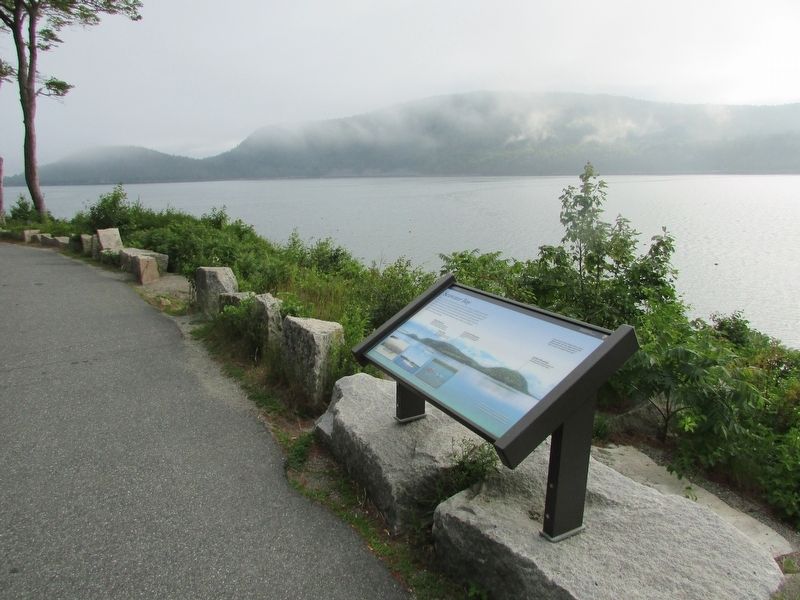
More about this marker. The background of the marker contains a photo of the view from the marker. Various landmarks are identified, including Flying Mountain, Valley Peak, St. Sauveur Mountain, Valley Cove, and Acadia Mountain.
At the bottom of the marker are three photographs of boats on Somes Sound. They have captions of “Large vessels like this 1940s four-masted schooner still cruise these waters today.”; “For generations, lobstermen have hauled traps and harvested the bounty of the Sound.”; and “Kayaking these waters is not for beginners. The bay reels with choppy waves on windy days.”
Credits. This page was last revised on August 4, 2017. It was originally submitted on August 4, 2017, by Bill Coughlin of Woodland Park, New Jersey. This page has been viewed 255 times since then and 20 times this year. Photos: 1, 2, 3. submitted on August 4, 2017, by Bill Coughlin of Woodland Park, New Jersey.


