Grampian in Clearfield County, Pennsylvania — The American Northeast (Mid-Atlantic)
Grampian
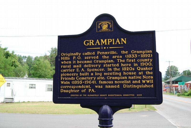
Photographed by Mike Wintermantel, August 4, 2017
1. Grampian Marker
Erected 2004 by Clearfield County Bicentennial Committee.
Topics and series. This historical marker is listed in these topic lists: Settlements & Settlers • War, World II • Women. In addition, it is included in the Quakerism series list. A significant historical year for this entry is 1900.
Location. 40° 57.79′ N, 78° 36.635′ W. Marker is in Grampian, Pennsylvania, in Clearfield County. It is at the intersection of First Street (U.S. 219) and Penn Street on First Street. Touch for map. Marker is in this post office area: Grampian PA 16838, United States of America. Touch for directions.

Regionally, this marker is in the Pennsylvania Wilds. It is also in the American Northeast, in the Mid-Atlantic, in Appalachia, and
this page online
Other nearby markers. At least 8 other markers are within 6 miles of this marker, measured as the crow flies: McClure Cemetery (approx. 3½ miles away); The First Church in Clearfield County (approx. 3½ miles away); Arnold N. Nawrocki (approx. 4½ miles away); Doughboy Monument (approx. 4.6 miles away); Trout Water (approx. 4.7 miles away); Curwensville Dam (approx. 4.8 miles away); 2004 Bicentennial Raft (approx. 4.8 miles away); The Bell Site Dig (approx. 5.9 miles away).
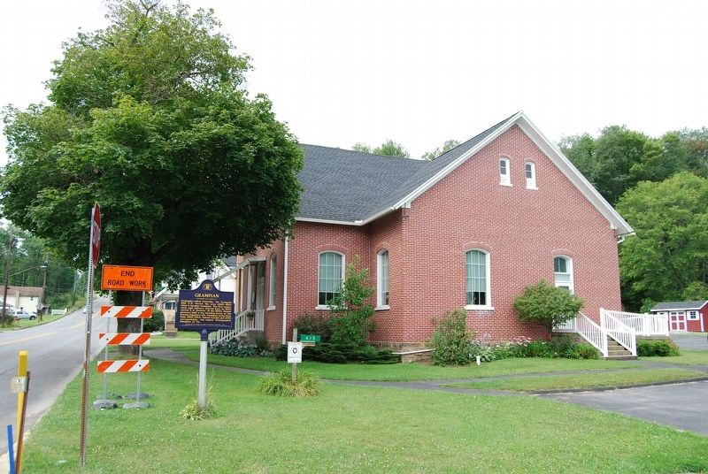
Photographed by Mike Wintermantel, August 4, 2017
2. Grampian Marker
Credits. This page was last revised on August 7, 2017. It was originally submitted on August 7, 2017, by Mike Wintermantel of Pittsburgh, Pennsylvania. This page has been viewed 1,227 times since then and 64 times this year. Photos: 1, 2. submitted on August 7, 2017, by Mike Wintermantel of Pittsburgh, Pennsylvania.
