Freeport in Nassau County, New York — The American Northeast (Mid-Atlantic)
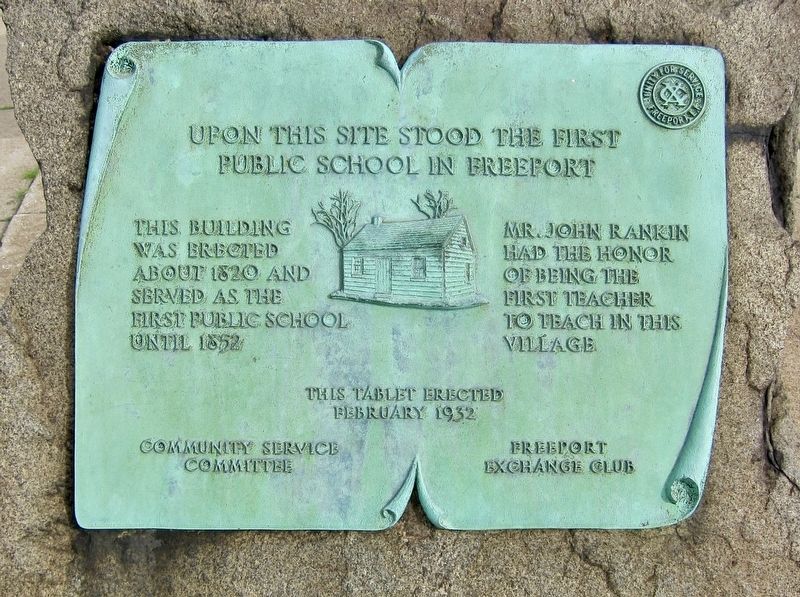
The First Public School in Freeport
Photographed by Andrew Ruppenstein, July 24, 2017
1. The First Public School in Freeport Marker
public school in Freeport
Mr. John Rankin had the honor of being the first teacher to teach in this village
February 1932
Community Service Committee Freeport Exchange Club
Erected 1932 by Community Service Committee, Freeport Exchange Club.
Topics. This historical marker is listed in this topic list: Education.
Location. 40° 39.415′ N, 73° 34.977′ W. Marker is in Freeport, New York, in Nassau County. It is at the intersection of North Main Street and Church Street, on the right when traveling south on North Main Street. Touch for map. Marker is in this post office area: Freeport NY 11520, United States of America. Touch for directions.

Regionally, this marker is in the New York City Metropolitan Area and on Long Island. It is also in the American Northeast, in the Mid-Atlantic, and on the Eastern Seaboard. Globally, it is in the North Atlantic Region, North America, the Western Hemisphere, the Western
this page online
Other nearby markers. At least 8 other markers are within walking distance of this marker: Trubia Rifle (here, next to this marker); Freeport Bank (within shouting distance of this marker); Freeport Methodist Episcopal Church (about 500 feet away, measured in a direct line); First Fire Co (approx. 0.2 miles away); Christ Lutheran (approx. ¼ mile away); Freeport Police (approx. ¼ mile away); B'nai Israel Synagogue (approx. ¼ mile away); Village Hall - 1928 (approx. ¼ mile away). Touch for a list and map of all markers in Freeport.
Photographed by Andrew Ruppenstein, July 24, 2017
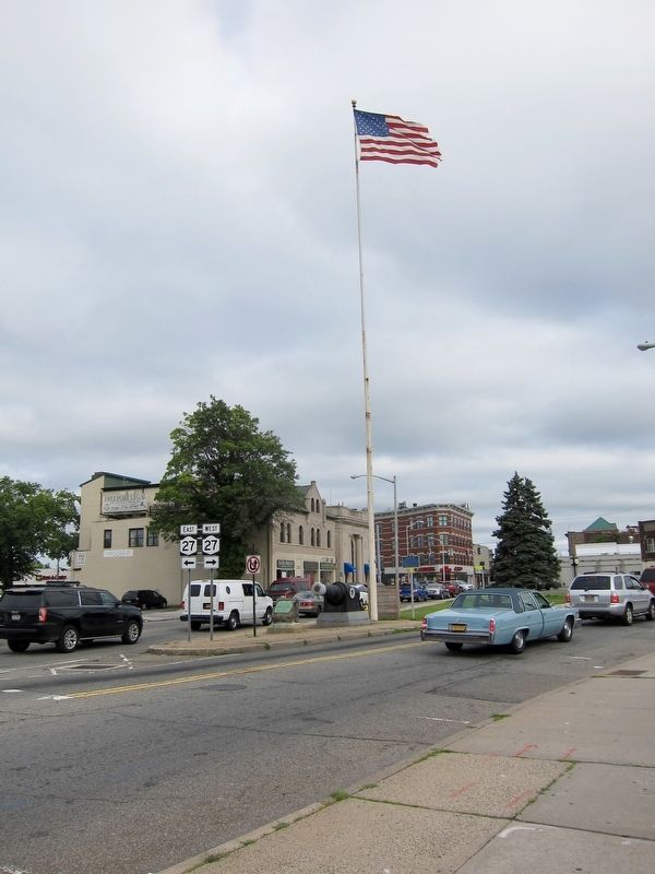
2. The First Public School in Freeport Marker - Wide View
The marker is visible here, mounted to a low rock monument in front of the Trubia Rifle
Photographed by Andrew Ruppenstein, July 24, 2017
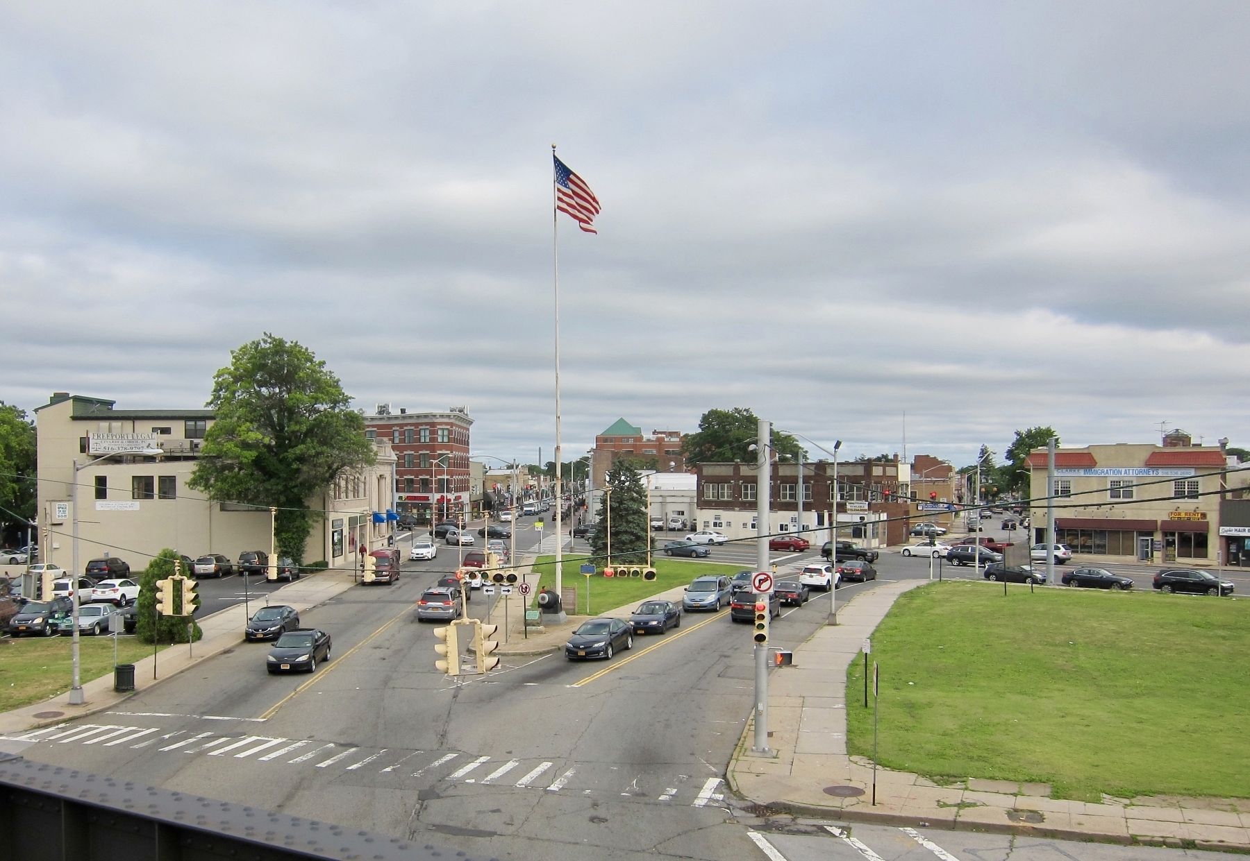
3. The First Public School in Freeport Marker - Wide View, Looking South From LIRR Station
Credits. This page was last revised on August 8, 2017. It was originally submitted on August 8, 2017, by Andrew Ruppenstein of Lamorinda, California. This page has been viewed 611 times since then and 66 times this year. Photos: 1, 2, 3. submitted on August 8, 2017, by Andrew Ruppenstein of Lamorinda, California.
