
Big Rapids in Mecosta County, Michigan — The American Midwest (Great Lakes)
St. Andrew's Episcopal Church
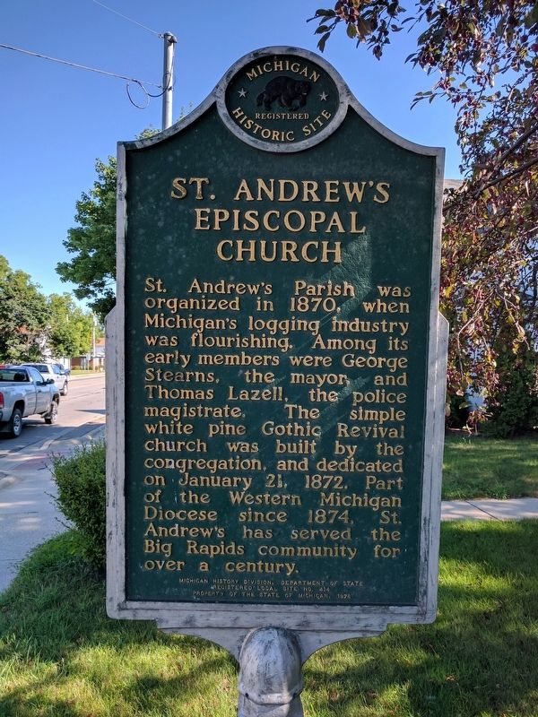
Photographed by Joel Seewald, August 5, 2017
1. St. Andrew's Episcopal Church Marker
Erected 1976 by Michigan History Division, Department of State. (Marker Number L414.)
Topics and series. This historical marker is listed in this topic list: Religion & Religious Structures. In addition, it is included in the Michigan Historical Commission series list. A significant historical date for this entry is January 21, 1874.
Location. 43° 41.678′ N, 85° 29.024′ W. Marker is in Big Rapids, Michigan, in Mecosta County. It is at the intersection of South State Street (Business U.S. 131) and Locust Street on South State Street. Touch for map. Marker is at or near this postal address: 323 South State Street, Big Rapids MI 49307, United States of America. Touch for directions.

Regionally, this marker is in West Michigan. It is also in the American Midwest and
this page online
Other nearby markers. At least 8 other markers are within walking distance of this marker: Historic Downtown (approx. 0.2 miles away); a different marker also named Historic Downtown (approx. ¼ mile away); First United Methodist Church (approx. ¼ mile away); a different marker also named Historic Downtown (approx. ¼ mile away); a different marker also named Historic Downtown (approx. ¼ mile away); Fairman Building (approx. ¼ mile away); Old Mecosta County Jail (approx. ¼ mile away); Nisbett Block (approx. ¼ mile away). Touch for a list and map of all markers in Big Rapids.
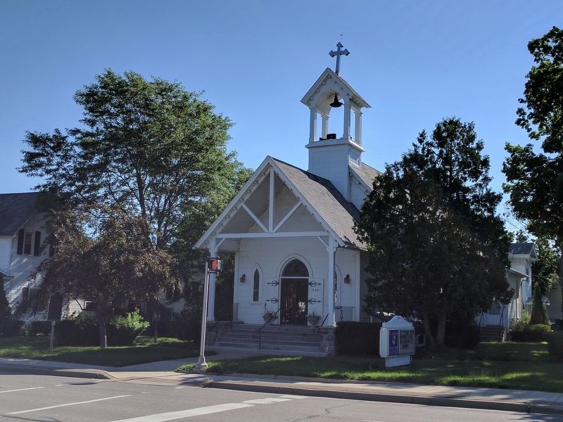
Photographed by Joel Seewald, August 5, 2017
2. St. Andrew's Episcopal Church and Marker
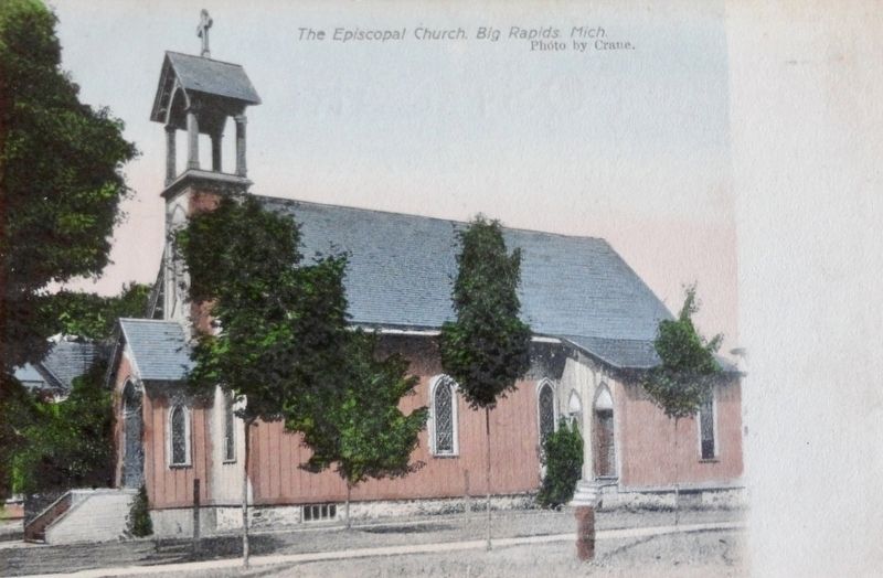
Postcard published by Morris and Crane, Big Rapids, Mich., circa 1907
3. The Episcopal Church, Big Rapids, Mich.
Credits. This page was last revised on August 9, 2017. It was originally submitted on August 8, 2017, by Joel Seewald of Madison Heights, Michigan. This page has been viewed 323 times since then and 10 times this year. Photos: 1, 2. submitted on August 8, 2017, by Joel Seewald of Madison Heights, Michigan. 3. submitted on August 9, 2017.
