Near Soda Springs in Caribou County, Idaho — The American West (Mountains)
The Value Of A Shortcut
Hudspeth's Cutofff

Photographed By Barry Swackhamer, June 22, 2017
1. The Value Of A Shortcut Marker
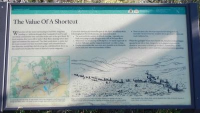
Caption: (map, bottom left) A modern-day auto trip along the approximate route of the Hudspeth's Cutoff between Soda Springs and Malta, Idaho runs about 125 miles in length. Much of the trail is still visible today.; (illustration, bottom right) Wagon trains following the main trail for the Oregon Territory are bearing to the right at Hudspeth's Cutoff, and those heading for California are traveling due west to connect with the route leading to City of Rocks, Idaho and the Humboldt River Valley of Nevada. (Illustration by Zackery Zdinak).
If you were traveling by covered wagon in the 1850s, would any of the following factors have influenced your choice of routes?
• The main trail had a number of difficult crossings - especially over bluffs and getting to water along the steep cliffs of the Snake River.
• While there was wood along the Hudspeth, it was mainly sagebrush on the Fort Hall route, and the emigrants preferred wood for cooking.
• Grazing opportunities for oxen were more plentiful on the Hudspeth and in most years water was reasonably available.
• Then too, there is the American disposition for taking shortcuts, especially if it meant that the would be able to get ahead of others and reach California first.
When the Applegate Route from Humboldt, Nevada to Dallas, Oregon opened in the fall of 1846, Oregon bound emigrants were able to chose an alternative to floating down the Columbia River. A few years later, Hudspeth's Cutoff made this option even more appealing.
Erected by Department of the Interior, National Park Service.
Topics and series. This historical marker is listed in these topic lists: Roads & Vehicles • Settlements & Settlers. In addition, it is included in the Oregon Trail series list.
Location. 42° 38.866′ N, 111° 42.12′ W. Marker is near Soda Springs, Idaho, in Caribou County. Marker is on Soda Point Power Plant Road near Reservoir Road, on the right when traveling south. Touch for map. Marker is at or near this postal address: 1599 Soda Point Power Plant Road, Soda Springs ID 83276, United States of America. Touch for directions.
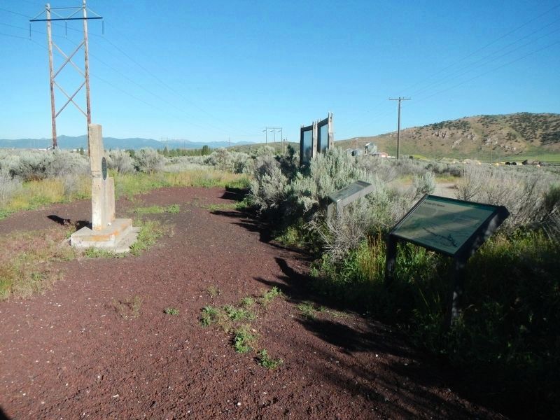
Other nearby markers. At least 8 other markers are within walking distance of this marker. William Henry Harrison (here, next to this marker); Guiding Landmark... (a few steps from this marker); Horatio's Journey (a few steps from this marker); John Bidwell (a few steps from this marker); Bear River Lava (a few steps from this marker); Fort Hall (a few steps from this marker); Sheep Rock Geology (a few steps from this marker); Hudspeth Cutoff (a few steps from this marker). Touch for a list and map of all markers in Soda Springs.
Credits. This page was last revised on August 9, 2017. It was originally submitted on August 9, 2017, by Barry Swackhamer of Brentwood, California. This page has been viewed 320 times since then and 24 times this year. Photos: 1, 2. submitted on August 9, 2017, by Barry Swackhamer of Brentwood, California.
