Near Fort Oglethorpe in Catoosa County, Georgia — The American South (South Atlantic)
Robertson's Brigade
Hood's Division
| — | Longstreet's Corps | — |
Photographed by Dale K. Benington, July 12, 2017
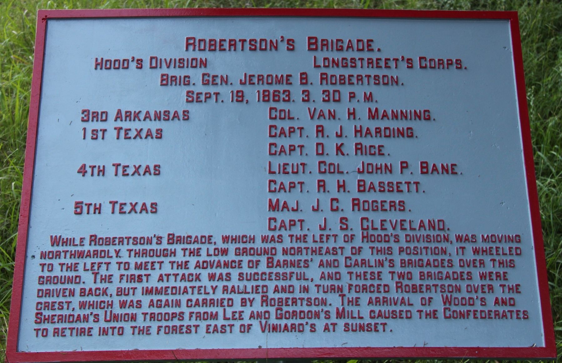
1. Robertson's Brigade Marker
Hood's Division, - Longstreet's Corps.
Brigadier General Jerome B. Robertson.
September 18, 1863, 3:30 p.m.
3d Arkansas, - Colonel Van H. Manning.
1st Texas, - Captain R. J. Harding.
1st Texas, - Captain D. K. Rice.
4th Texas, - Lieutenant Colonel John P. Bane.
4th Texas, - Captain R. H. Bassett.
5th Texas, - Major J. C. Rogers.
5th Texas, - Captain J. S. Cleveland.
While Robertson's Brigade, which was the left of Hood's Division, was moving northwardly through the low ground northeast of this position, it wheeled to the left to meet the advance of Barnes' and Carlin's Brigades over this ground. The first attack was successful, and these two brigades were driven back, but immediately rallied and in turn forced Robertson over the crest, which was again carried by Robertson. The arrival of Wood's and Sheridan's Union troops from Lee and Gordon's Mill caused the Confederates to retire into the forest east of Viniard's at sunset.
Erected 1890 by the Chickamauga and Chattanooga National Military Park Commission. (Marker Number MT-1207.)
Topics. This historical marker is listed in
this page online
Location. 34° 54.223′ N, 85° 15.581′ W. Marker is near Fort Oglethorpe, Georgia, in Catoosa County. It is on Viniard Road east of LaFayette Road, on the left when traveling east. This tablet is on the north side of the roadway and well within the view of the Viniard field and within a distant view of the LaFayette Road. Touch for map. Marker is in this post office area: Fort Oglethorpe GA 30742, United States of America. Touch for directions.

Regionally, this marker is in the Mountains. It is also in the American South and specifically in the Deep South. Globally, it is in North America, the Western Hemisphere, the Western World, and the Anglosphere. Historically, it finds itself in what was once the original Cherokee Nation, the territory of the Mississippian Culture, one of the original Thirteen Colonies, one of the Confederate States of America, and the Antebellum South.
Other nearby markers. At least 8 other markers are within walking distance of this marker: Hood's Division (within shouting distance of this marker); 38th Illinois Infantry
Photographed by Dale K. Benington, July 12, 2017
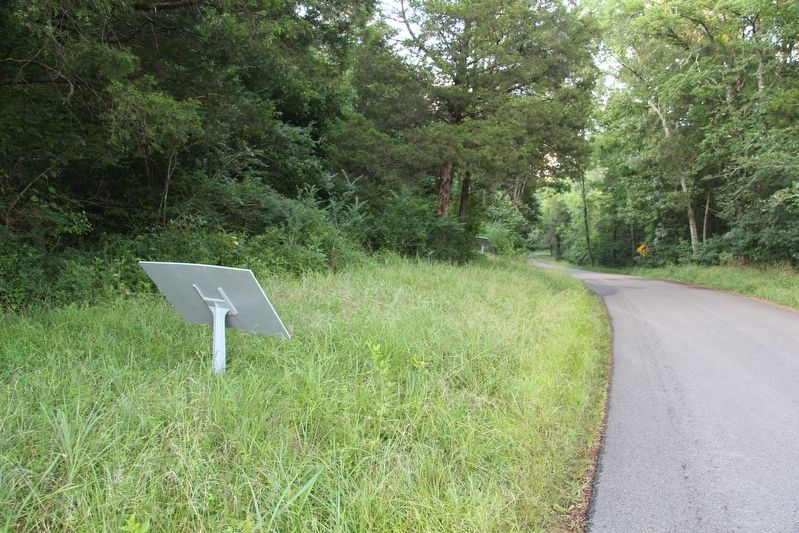
2. Robertson's Brigade Marker
View of the backside of the tablet looking east along Viniard Road.
More about this marker. In locating this tablet I used the "Chickamauga Battlefield" map, that I purchased at the Chickamauga and Chattanooga National Military Park, Visitor Center, to determine both the marker number for this tablet and the tablet's location in relation to the rest of the park's monuments, markers, and tablets. According to the map it provides the, "numerical listing of all monuments, markers, and tablets on the Chickamauga Battlefield (using the Chick-Chatt NMP Monument Numbering System).”
Photographed by Dale K. Benington, July 12, 2017
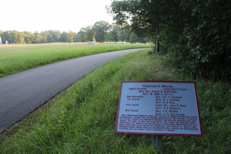
3. Robertson's Brigade Marker
View of the tablet looking west along the Viniard Road, with a view of the Viniard field (on the left) and a distant view of the LaFayette Road.
Credits. This page was last revised on August 10, 2017. It was originally submitted on August 10, 2017, by Dale K. Benington of Toledo, Ohio. This page has been viewed 331 times since then and 11 times this year. Photos: 1, 2, 3. submitted on August 10, 2017, by Dale K. Benington of Toledo, Ohio.
