
St. Louis in Gratiot County, Michigan — The American Midwest (Great Lakes)
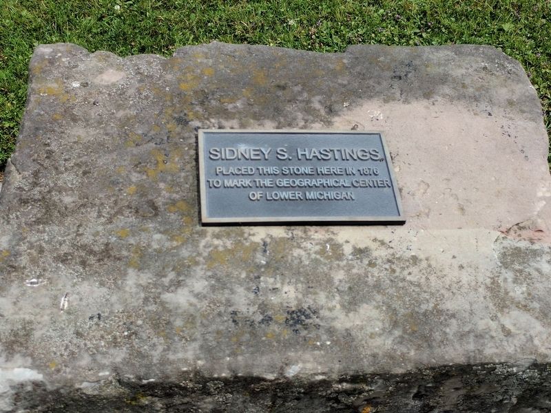
Sidney S. Hastings
Photographed by Joel Seewald, August 5, 2017
1. Sidney S. Hastings Marker
Topics. This historical marker is listed in this topic list: Notable Places. A significant historical year for this entry is 1876.
Location. 43° 24.487′ N, 84° 36.316′ W. Marker is in St. Louis, Michigan, in Gratiot County. It is at the intersection of East Washington Street (State Highway 46) and Franklin Street, on the left when traveling east on East Washington Street. Marker is near the southwest corner of Clapp Memorial Park. Touch for map. Marker is in this post office area: Saint Louis MI 48880, United States of America. Touch for directions.

Regionally, this marker is in Mid-Michigan. It is also in the American Midwest and on the Great Lakes. Globally, it is in North America, the Western Hemisphere, the Western World, and the Anglosphere. Historically, it finds itself in what was once the Northwest Territory.
Other nearby markers. At least 8 other markers are within 7 miles of this marker, measured as the crow flies: Saint Louis (a few steps from this marker); Joseph Clapp Memorial Park (within shouting distance of this marker);
this page online
Another marker is no longer nearby. Alma College (was approx. 3.8 miles away but has been replaced with another marker now near it).
Photographed by Joel Seewald, August 5, 2017
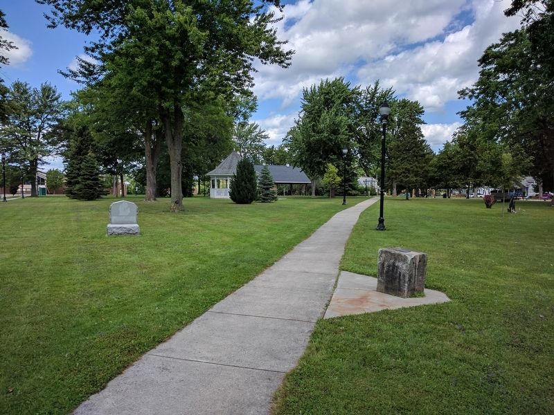
2. Sidney S. Hastings Marker
Photographed by Joel Seewald, August 5, 2017
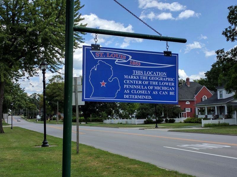
3. Nearby Sign on East Washington Street
St. Louis - 1853
This location marks the geographic center of the lower peninsula of Michigan as closely as can be determined.
This location marks the geographic center of the lower peninsula of Michigan as closely as can be determined.
Credits. This page was last revised on August 10, 2017. It was originally submitted on August 10, 2017, by Joel Seewald of Madison Heights, Michigan. This page has been viewed 558 times since then and 17 times this year. Photos: 1, 2, 3. submitted on August 10, 2017, by Joel Seewald of Madison Heights, Michigan.
