Russells Point in Logan County, Ohio — The American Midwest (Great Lakes)
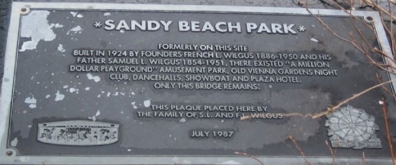
Sandy Beach Park
The Original Marker
Erected 1987 by the Family of S.L.and F.L. Wilgus.
Topics. This historical marker is listed in this topic list: Entertainment.
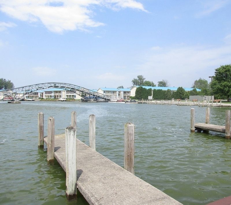
Location. Marker has been reported missing. It was located near 40° 28.375′ N, 83° 53.651′ W. Marker was in Russells Point, Ohio, in Logan County. Marker could be reached from East Main Street (Ohio Route 366). Marker is missing, it was located on the east abutment of the bridge. Touch for map. Marker was at or near this postal address: 121 E Main St, Russells Point OH 43348, United States of America. Touch for directions.
Other nearby markers. At least 8 other markers are within walking distance of this location. Sandy Beach Bridge (a few steps from this marker); Boats of Indian Lake (a few steps from this marker); Sandy Beach and the Big Band Era (within shouting distance of this marker); Interurban Transportation (within shouting distance of this marker); Miami- Erie Canal / Lewistown Reservoir (within shouting distance of this marker); Native Americans (within shouting distance of this marker); Our Lady of Fatima (within shouting distance of this marker); 1913 Flood (about 300 feet away, measured in a direct line). Touch for a list and map of all markers in Russells Point.
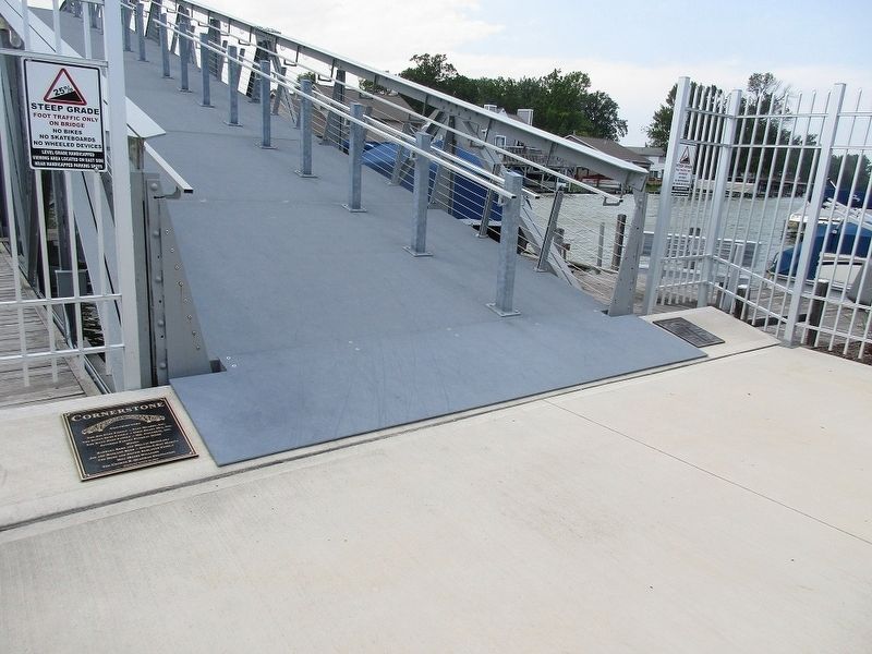
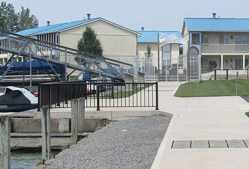
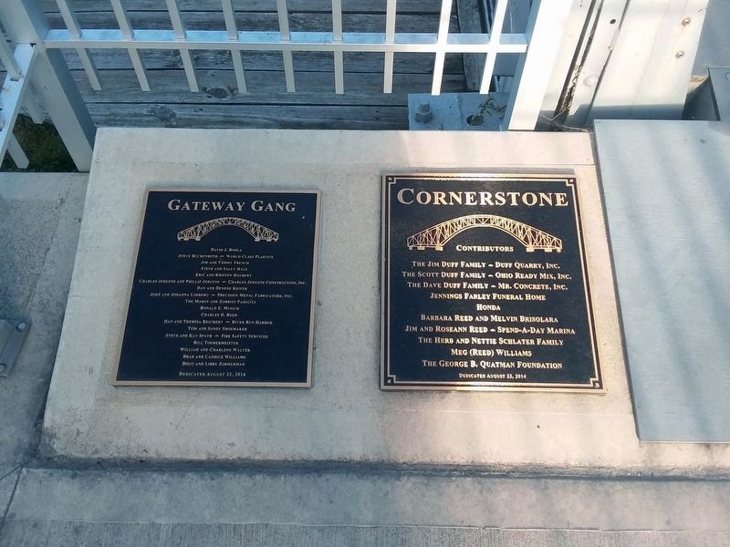
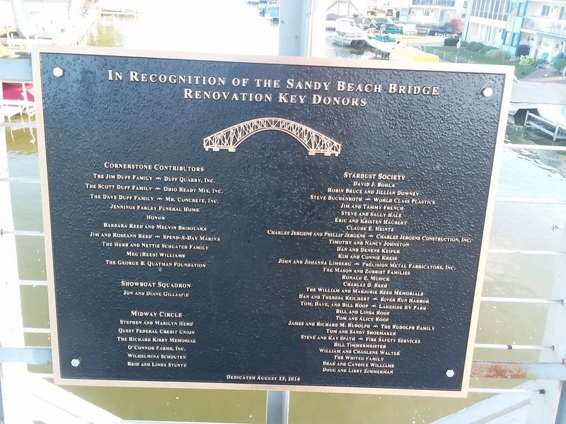
More about this marker. Marker was removed during renovation of the bridge.Eleven new markers, plus the OHS marker have been added at the site. This marker is probably "buried" in the estate of Mr. Bill Reed.
Credits. This page was last revised on November 9, 2020. It was originally submitted on August 10, 2017, by Rev. Ronald Irick of West Liberty, Ohio. This page has been viewed 269 times since then and 10 times this year. Photos: 1, 2, 3, 4. submitted on August 10, 2017, by Rev. Ronald Irick of West Liberty, Ohio. 5, 6. submitted on November 9, 2020, by Craig Doda of Napoleon, Ohio. • Bill Pfingsten was the editor who published this page.
