Södermalm in Stockholm, Stockholm County, Sweden — Northern Europe (Scandinavia)
Stallbron
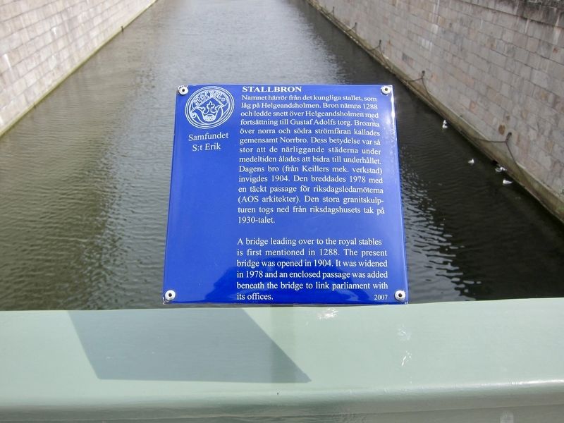
Photographed by Andrew Ruppenstein, June 10, 2017
1. Stallbron Marker

Erected 2007 by Samfundet S:t Erik.
Topics. This historical marker is listed in this topic list: Bridges & Viaducts.
Location. 59° 19.618′ N, 18° 4.101′ E. Marker is in Stockholm, Stockholms län (Stockholm County). It is in Södermalm. It is on Stallbron just north of Slottskajen. Touch for map.
this page online

Regionally, it is in Europe, the European Union, Scandinavia, the Nordic Countries, the Schengen Area, and the Western World.
Other nearby markers. At least 8 other markers are within walking distance of this marker: Oxenstiernska Palatset / Oxenstierna Palace (about 150 meters away, measured in a direct line); Storkyrkans Hus / Cathedral House (about 150 meters away); Erik Dahlbergh (about 150 meters away); Strömparterren (about 180 meters away); Riksbron (about 180 meters away); Stuténska Huset / The Stuten Building (about 210 meters away); Norrbro (about 210 meters away); Gustav II Adolf / King Gustaf II Adolf (approx. 0.3 kilometers away). Touch for a list and map of all markers in Stockholm.
Also see . . . Stallbron (Wikipedia). (Submitted on August 11, 2017, by Andrew Ruppenstein of Lamorinda, California.)
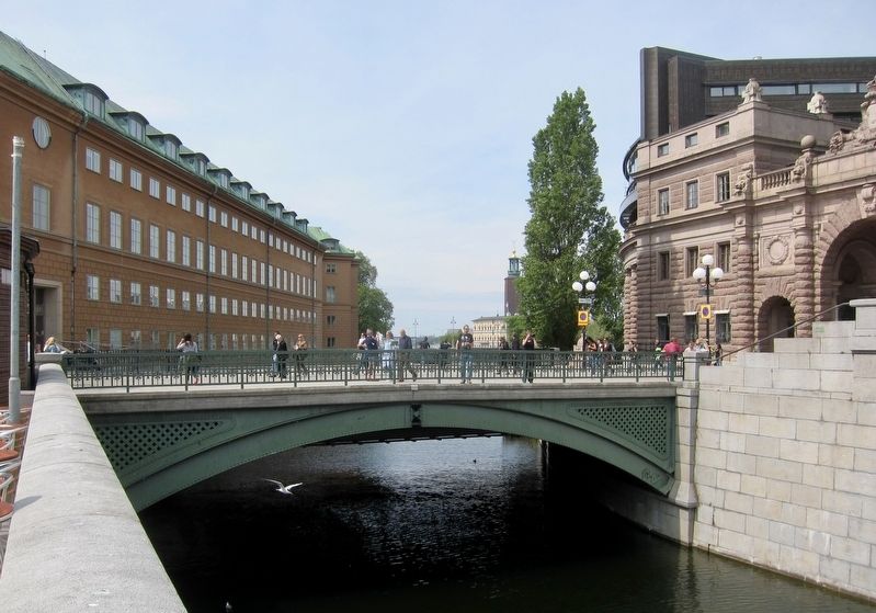
Photographed by Andrew Ruppenstein, June 10, 2017
2. Stallbron - Bridge and Marker
Although not really visible here, the marker is in the middle of the bridge.
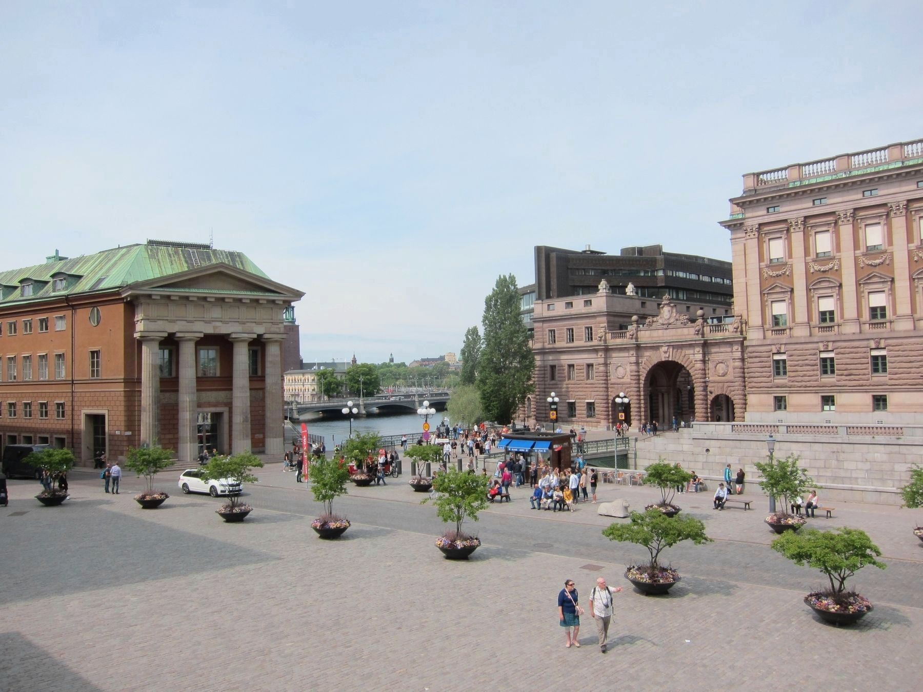
Photographed by Andrew Ruppenstein, June 10, 2017
3. Stallbron - Wide View, As Viewed from the Royal Palace
The Stallbron (Stable Bridge) connects the Parliament Building (the brown building complex with the arched passageway) to the Gamla Stan (Old Town, the area in the foreground and surroundings).
Credits. This page was last revised on February 19, 2022. It was originally submitted on August 11, 2017, by Andrew Ruppenstein of Lamorinda, California. This page has been viewed 361 times since then and 28 times this year. Photos: 1, 2, 3. submitted on August 11, 2017, by Andrew Ruppenstein of Lamorinda, California.
