
Sussex, New Brunswick — The Atlantic Provinces (North America)
Dominion Building
1883
| — | Sussex Preservation Area Heritage Property | — |
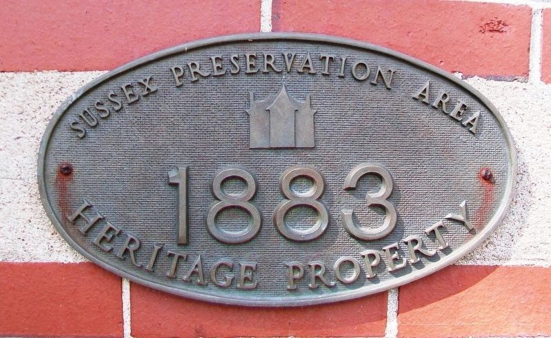
Photographed by William Fischer, Jr., July 29, 2017
1. Dominion Building Heritage Property Marker
Topics. This historical marker is listed in this topic list: Notable Buildings.
Location. 45° 43.418′ N, 65° 30.668′ W. Marker is in Sussex, New Brunswick. It is at the intersection of Main Street (New Brunswick Route 121) and Broad Street/Maple Avenue, on the right when traveling west on Main Street. Building is presently the Town Hall. Touch for map. Marker is at or near this postal address: 524 Main Street, Sussex NB E4E 3E4, Canada. Touch for directions.

Regionally, this marker is in New Brunswick’s Fredericton & River Valley. It is also in the Maritimes and in Atlantic Canada. Globally, it is in the North Atlantic Region, North America, the Western Hemisphere, the Western World, and the Anglosphere. Historically, it finds itself in what was once a British colony, the Viceroyalty of New France, and Acadia.
Other nearby markers. At least 4 other markers are within walking distance of this marker: War Memorial (about 150 meters away, measured in a direct line); a different marker also named War Memorial (about 150 meters away);
this page online
Also see . . . Dominion Building in New Brunswick Register of Historic Places. (Submitted on August 11, 2017, by William Fischer, Jr. of Reynoldsburg, Ohio.)
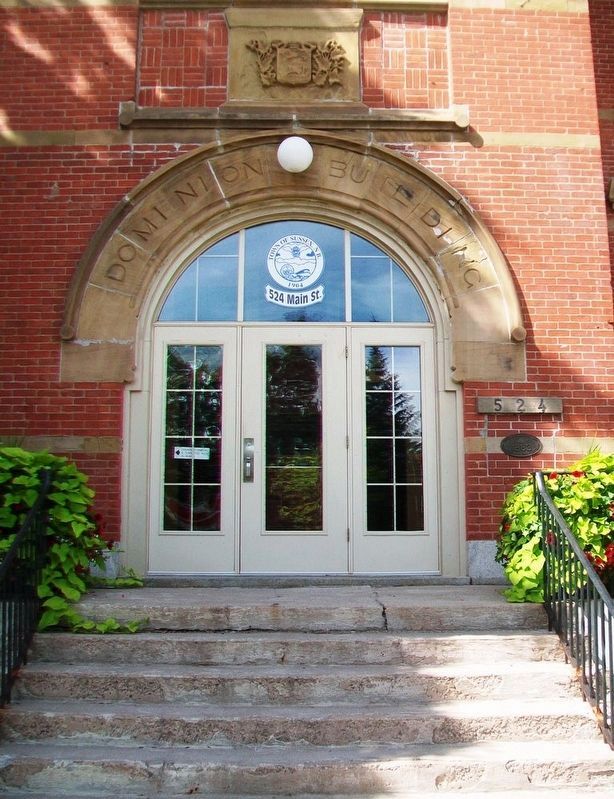
Photographed by William Fischer, Jr., July 29, 2017
2. Dominion Building Entrance and Marker
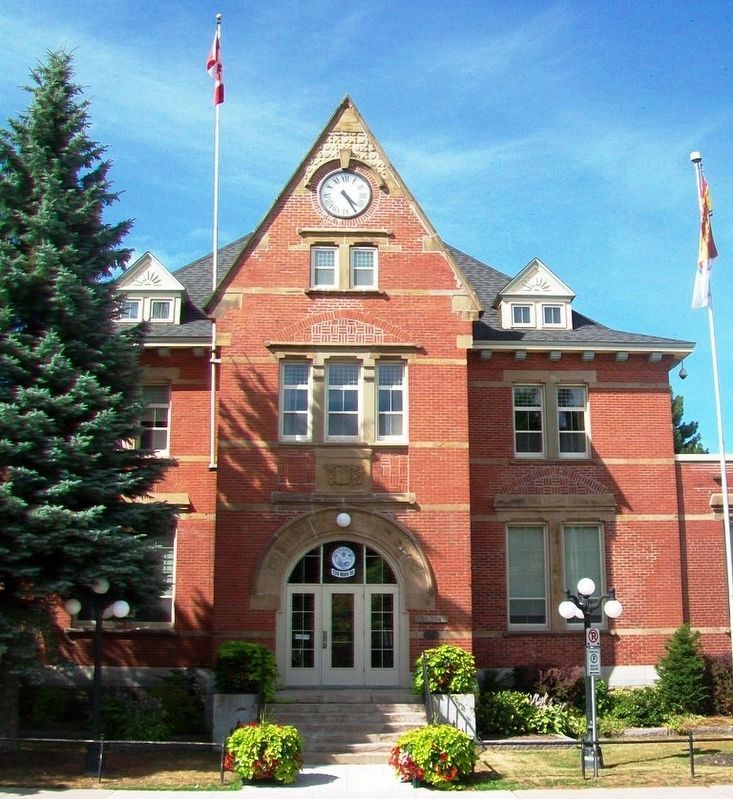
Photographed by William Fischer, Jr., July 29, 2017
3. Dominion Building (present Sussex Town Hall)
Credits. This page was last revised on March 14, 2026. It was originally submitted on August 11, 2017, by William Fischer, Jr. of Reynoldsburg, Ohio. This page has been viewed 568 times since then and 9 times this year. Photos: 1, 2, 3. submitted on August 11, 2017, by William Fischer, Jr. of Reynoldsburg, Ohio.
