Södermalm in Stockholm, Stockholm County, Sweden — Northern Europe (Scandinavia)
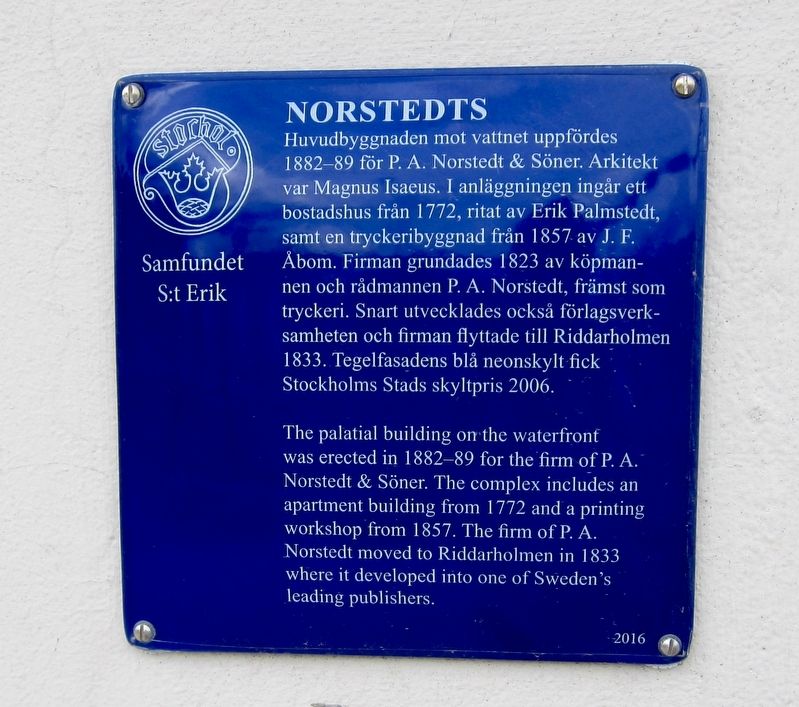
Norstedts
Photographed by Andrew Ruppenstein, June 11, 2017
1. Norstedts Marker

Erected 2015 by Samfundet S:t Erik.
Topics. This historical marker is listed in these topic lists: Communications • Industry & Commerce.
Location. 59° 19.555′ N, 18° 3.831′ E. Marker is in Stockholm, Stockholms län (Stockholm County). It is in Södermalm. It is at the intersection of Arkivgatan
this page online

Regionally, it is in Europe, the European Union, Scandinavia, the Nordic Countries, the Schengen Area, and the Western World.
Other nearby markers. At least 8 other markers are within walking distance of this marker: Riddarholmen (within shouting distance of this marker); Kammarrättens hus / Administrative Court of Appeal (about 120 meters away, measured in a direct line); Sparreska Palatset / Palace (about 150 meters away); Östra Gymnasiehuset / Eastern High School building (about 180 meters away); Västra Gymnasiehuset / Western High School Building (about 180 meters away); Erik Dahlbergh (approx. 0.3 kilometers away); Stallbron (approx. 0.3 kilometers away); Storkyrkans Hus / Cathedral House (approx. 0.3 kilometers away). Touch for a list and map of all markers in Stockholm.
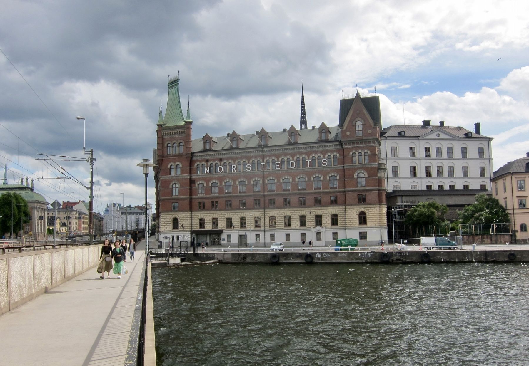
Regarding Norstedts. Riddarholmen is the name of the island on which Norstedts is located.
Photographed by Andrew Ruppenstein, June 11, 2017
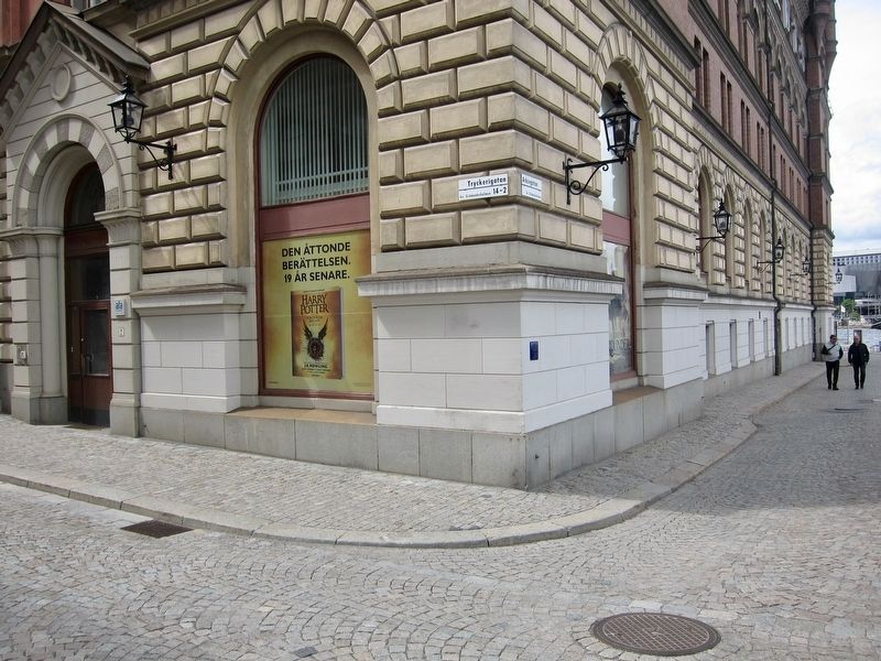
2. Norstedts Marker - Wide View
Photographed by Andrew Ruppenstein, June 11, 2017
3. Norstedts
Credits. This page was last revised on February 19, 2022. It was originally submitted on August 12, 2017, by Andrew Ruppenstein of Lamorinda, California. This page has been viewed 430 times since then and 45 times this year. Photos: 1, 2, 3. submitted on August 12, 2017, by Andrew Ruppenstein of Lamorinda, California.
