Trans Canada Highway
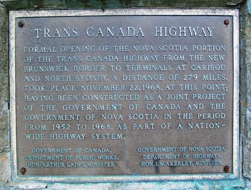
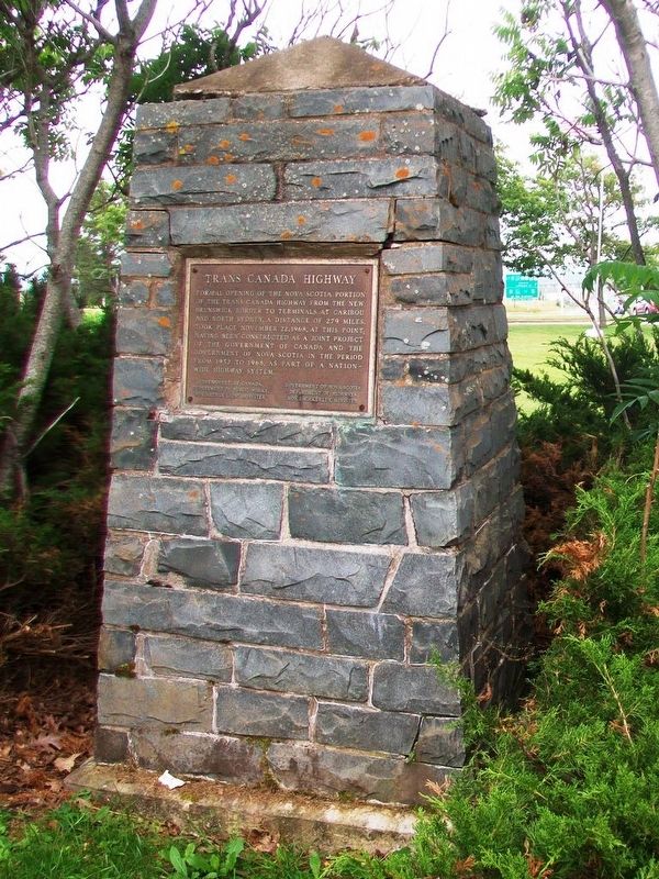
Formal opening of the Nova Scotia portion of the Trans Canada Highway from the New Brunswick border to terminals at Caribou and North Sydney, a distance of 279 miles, took place November 22, 1968, at this point; having been constructed as a joint project of the Government of Canada and the Government of Nova Scotia in the period from 1952 to 1968, as part of a nationwide highway system.
Erected by the Governments of Canada and Nova Scotia.
Topics. This historical marker is listed in this topic list: Roads & Vehicles. A significant historical date for this entry is November 22, 1968.
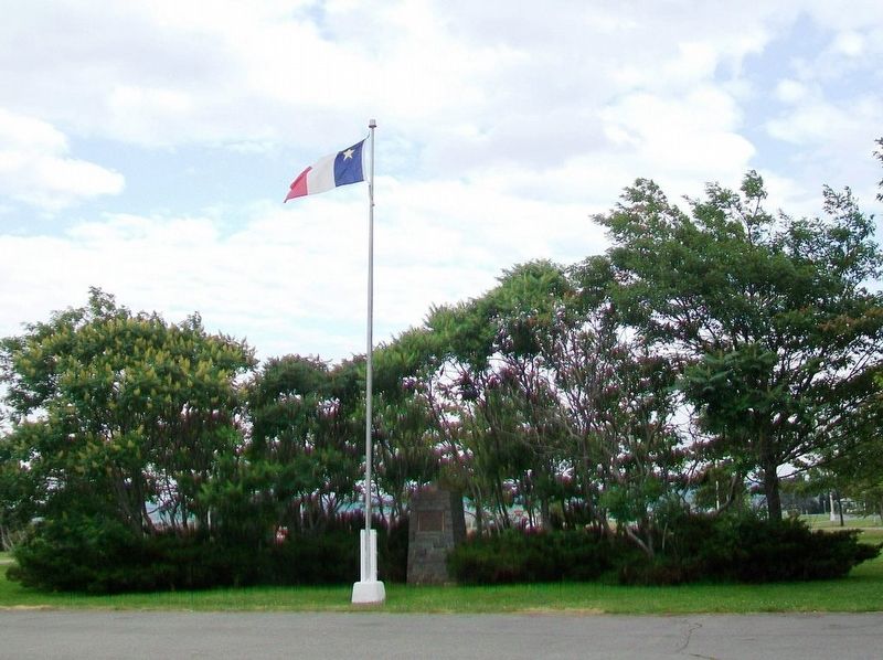
Location. 45° 51.151′ N, 64° 15.508′ W. Marker is near Fort Lawrence, New Brunswick, in Cumberland County. Marker is near the parking area east of the Nova Scotia Welcome Centre. Touch for map. Marker is at or near this postal address: 90 Cumberland Loop, Fort Lawrence NB B4H 3Y5, Canada. Touch for directions.
Other nearby markers. At least 8 other markers are within 5 kilometers of this marker, measured as the crow flies. Un hommage à/A Tribute to Jacob (Jacques) Bourgeois (within shouting distance of this marker in Nova Scotia); Beaubassin 1672-1750 (about 120 meters away, measured in a direct line in Nova Scotia); Natural History (about 120 meters away in Nova Scotia); Early Inhabitants (about 120 meters away in Nova Scotia); Amherst – Modern Period 1800s and 1900s
Also see . . .
1. The Trans-Canada Highway: Backgrounder. (Submitted on August 13, 2017, by William Fischer, Jr. of Scranton, Pennsylvania.)
2. Dr. Doolittle: Father of the Trans-Canada Highway. (Submitted on August 13, 2017, by William Fischer, Jr. of Scranton, Pennsylvania.)
Credits. This page was last revised on August 13, 2017. It was originally submitted on August 13, 2017, by William Fischer, Jr. of Scranton, Pennsylvania. This page has been viewed 266 times since then and 16 times this year. Photos: 1, 2, 3. submitted on August 13, 2017, by William Fischer, Jr. of Scranton, Pennsylvania.


