Near Vale in Malheur County, Oregon — The American West (Northwest)
First People of the Land
Inscription.
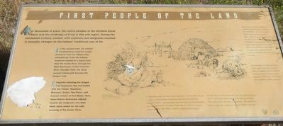
For thousands of years, the native peoples of the northern Great Basin met the challenge of living in this arid region. During the nineteenth century, contact with explorers and emigrants resulted in dramatic changes to the Indians’ traditional way of life.
As they pushed west, the earliest EuroAmerican explorers sought directions from the Indians they encountered. From the Indians, explorers learned of a travel route from the Snake River, through the Blue Mountains, to the Columbia River, Decades later, the same ancient Indian path became the Oregon Trail.
Emigrants following the Oregon Trail frequently met and traded with the Paiute, Shoshone, Bannock, Snake, Nez Perce, and Cayuse Indians at Fort Boise. Here, these Native Americans offered food to the emigrants and their skills were valued for the safe crossing of the Snake River.
“I ... pitched my camp near that of some Chochonis ... On the 18th, I procured a ... horse, a small quantity of dried fish, some roots and some dried, pulverized cherries. I spent the greater part of the day in getting information as to our route and as to the time it would take us to reach the Sciatogas (Cayuse Indians). The indians ... agreed in saying the trail was good.” -- William Price Hunt, explorer, December 18, 1811. “The first night we stayed at Fort Boise, I lay on the bank of the river where I could scarcely sleep for the Indians, who sung all night ... This is their practice when they are gambling ... The salmon also kept up a great noise, jumping and splashing about in the water.”
“There were several Indian encampments scattered along the river; and a number of their inhabitants ... came to the camp on horseback with dried and fresh fish to trade ... While the summer weather and the salmon lasted, they lived contentedly and happily, scattered along the different streams where the fish were to be found; and as soon as the winter snows began to fall, little smokes would be seen rising among the mountains, where they would be found...”
“From Fort Hall to the Willamette Valley not the slightest precaution was taken against nor apprehension felt of Indian hostility, nor were we in any instance molested by them, on the contrary, they often rendered us valuable assistance.”
Erected by Department of the Interior, Bureau of Land Management.
Topics. This historical marker is listed in this topic list: Native Americans.
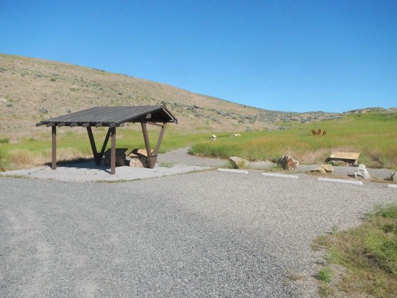
Location. 43° 54.582′ N, 117° 10.584′ W. Marker is near Vale, Oregon, in Malheur County. Marker
is on Lytle Boulevard, on the left when traveling north. Touch for map. Marker is in this post office area: Vale OR 97918, United States of America. Touch for directions.
Other nearby markers. At least 8 other markers are within 7 miles of this marker, measured as the crow flies. Imagine a Day's Journey (a few steps from this marker); In Search of a Dream (a few steps from this marker); Under the Wagon Cover (within shouting distance of this marker); John D. Henderson (approx. 5.2 miles away); Cutoff Fever (approx. 5.8 miles away); Rinehart's Stone House (approx. 5.8 miles away); Vale Oregon Trail Kiosk (approx. 5.9 miles away); Vale (approx. 6.2 miles away). Touch for a list and map of all markers in Vale.
More about this marker. This marker is located about 1/4 mile south of Captain Keeney Pass and 6 miles southeast of Vale.
Credits. This page was last revised on August 14, 2017. It was originally submitted on August 14, 2017, by Barry Swackhamer of Brentwood, California. This page has been viewed 300 times since then and 36 times this year. Photos: 1, 2. submitted on August 14, 2017, by Barry Swackhamer of Brentwood, California.

