Near Vale in Malheur County, Oregon — The American West (Northwest)
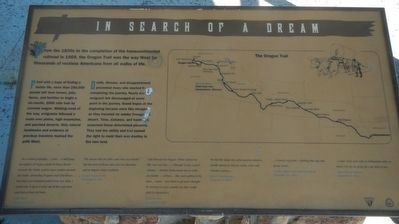
In Search of a Dream
Fired with a hope of finding a better life, more than 250,000 people left their homes, jobs, farms, and families to begin a six-month, 2000 mile trek by covered wagon. Walking most of the way, emigrants followed a route over plains, high mountains, and parched deserts. Only natural landmarks and evidence of previous travelers marked the path west.
Death, disease, and disappointment prevented many who started from completing the journey. Nearly every emigrant felt discouraged at some point in the journey. Grand hopes at the beginning became more like mirages as they traveled for weeks through the desert. Time, distance, and hardships seasoned these determined pioneers. They had the ability and had earned the right to mold their own destiny in the new land.
... in a school geography ... I saw ... a half page description of Oregon about its heavy forests towards the North, and its open country towards the South, abounding in game and wild horses ... that page was thumbed until it was very dark. I would take it up as I came out of the coal mine, and look at that old book. John Marte, Emigrant of 1844.
The reason why my folks came here was health; but the most of them came here for adventure and to improve their condition. Joseph Henry Brown, Emigrant of 1847
I left Missouri for Oregon. What started me this way was this: ... I thought it was a good climate ... Another inducement was to settle my family ... of boys ... they were getting to be men ... Land ... was hard to get and I thought by moving to a new country my boys could shift for themselves. -- William Shaw, Emigrant of 1844
We left the Snake river after passing almost a month among its deserts, sands, rocks and cheerless wastes . . . -- Henry Clay Huston, Emigrant of 1852
... Country very poor -- Nothing but sage and grease wood ... -- Cecelia Adams and Parthenia Blank, September 23, 1852
... o dear if we were only in Willamette valley or where ever we are going for I am tired of this. -- Agnes Stewart Warner, September 9, 1853
Erected by Department of the Interior, Bureau of Land Management.
Topics. This historical marker is listed in these topic lists: Roads & Vehicles • Settlements & Settlers.
Location. 43° 54.575′ N, 117° 10.59′ W. Marker is near Vale, Oregon, in Malheur County. Marker is on Lytle Boulevard
. Touch for map. Marker is in this post office area: Vale OR 97918, United States of America. Touch for directions.
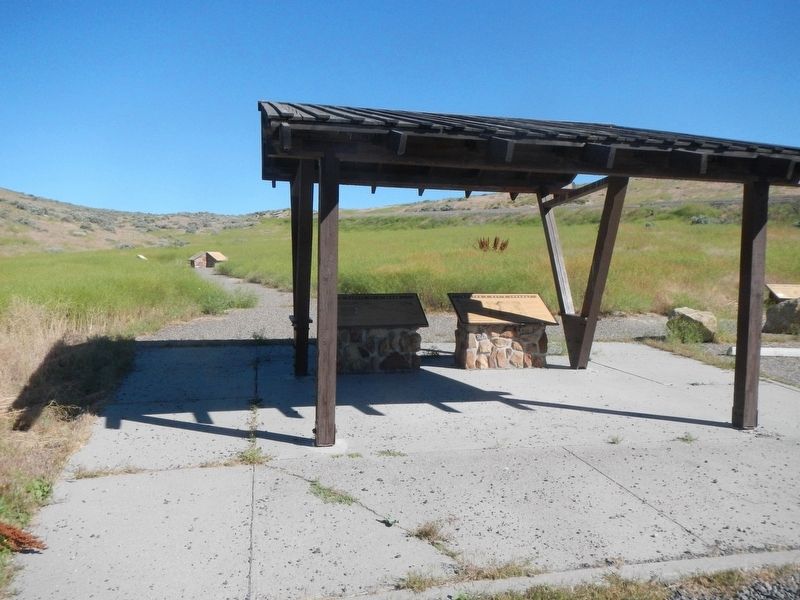
Other nearby markers. At least 8 other markers are within 7 miles of this marker, measured as the crow flies. Imagine a Day's Journey (here, next to this marker); First People of the Land (a few steps from this marker); Under the Wagon Cover (within shouting distance of this marker); John D. Henderson (approx. 5.2 miles away); Cutoff Fever (approx. 5.8 miles away); Rinehart's Stone House (approx. 5.9 miles away); Vale Oregon Trail Kiosk (approx. 5.9 miles away); Vale (approx. 6.2 miles away). Touch for a list and map of all markers in Vale.
More about this marker. This marker is located about 1/4 mile south of Captain Keeney Pass and 6 miles southeast of Vale.
Credits. This page was last revised on August 14, 2017. It was originally submitted on August 14, 2017, by Barry Swackhamer of Brentwood, California. This page has been viewed 181 times since then and 13 times this year. Photos: 1, 2. submitted on August 14, 2017, by Barry Swackhamer of Brentwood, California.

