Near Alamo in Wheeler County, Georgia — The American South (South Atlantic)
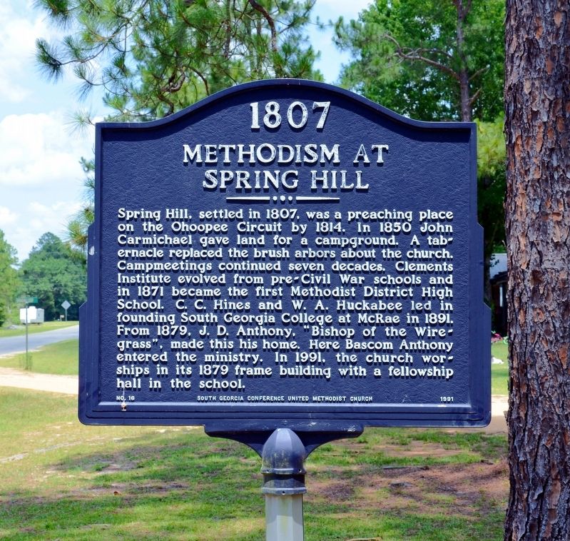
Methodism at Spring Hill
1807
| — | United Methodist Church Registered Historic Site No. 258 | — |
Photographed by David Seibert, June 17, 2014
1. 1807 Methodism at Spring Hill Marker
Erected 1991 by South Georgia Conference United Methodist Church. (Marker Number 16.)
Topics and series. This historical marker is listed in these topic lists: Education • Religion & Religious Structures. In addition, it is included in the United Methodist Church Historic Sites series list.
Location. 32° 0.75′ N, 82° 43.567′ W. Marker is near Alamo, Georgia, in Wheeler County. It is at the intersection of County Route 197 and Spring
this page online

Regionally, this marker is on Georgia’s Coastal Plain. It is also in the American South and specifically in the Deep South. Globally, it is in North America, the Western Hemisphere, the Western World, and the Anglosphere. Historically, it finds itself in what was once the territory of the Mississippian Culture, one of the original Thirteen Colonies, one of the Confederate States of America, and the Antebellum South.
Other nearby markers. At least 8 other markers are within 12 miles of this marker, measured as the crow flies: Major General James E. Livingston (approx. 6.4 miles away); Talmadge Home (approx. 7.1 miles away); Wheeler County (approx. 9.9 miles away); Telfair County (approx. 10.7 miles away); Marion Bayard Folsom (approx. 10.9 miles away); Telfair County Veterans Memorial (approx. 10.9 miles away); Little Ocmulgee's Visitor Center
Photographed by David Seibert, June 17, 2014
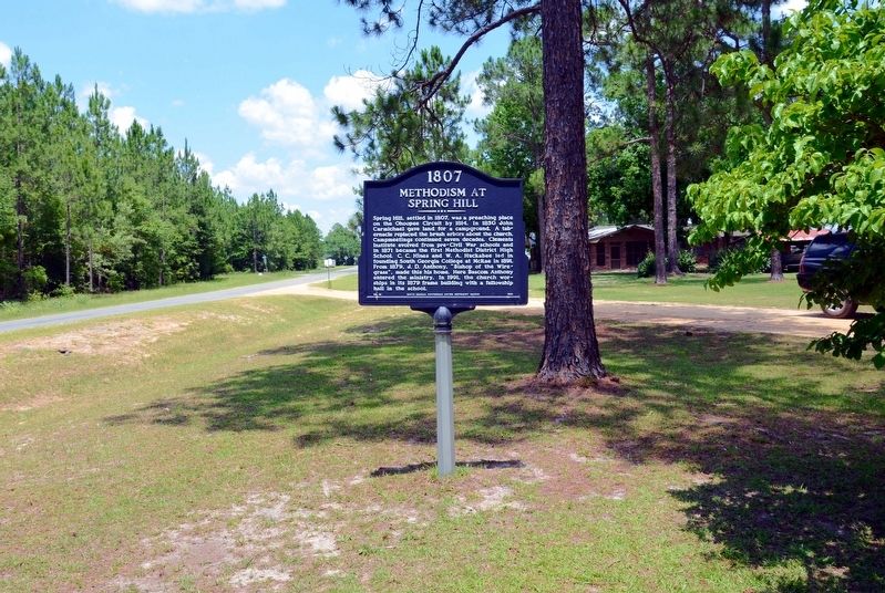
2. 1807 Methodism at Spring Hill Marker
Looking East on County Road 197. Spring Hill Loop is behind the marker.
Photographed by David Seibert, June 17, 2014
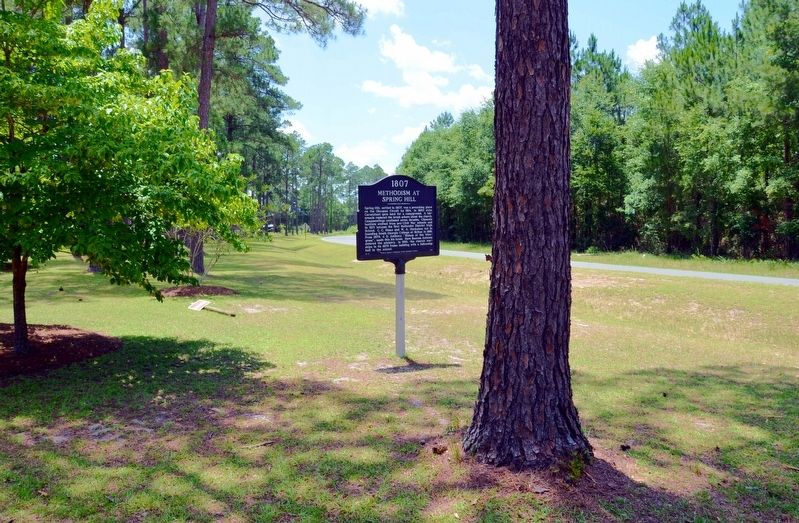
3. 1807 Methodism at Spring Hill Marker
Looking west on County Highway 197
Photographed by David Seibert, June 17, 2014
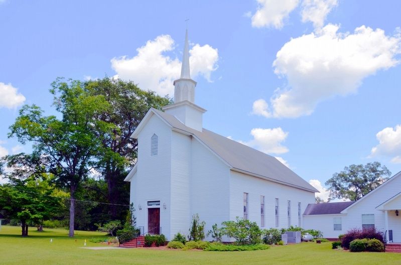
4. Spring Hill United Methodist Church
This building dates from 1879. It stands on Spring Hill Loop near the marker.
Credits. This page was last revised on August 19, 2023. It was originally submitted on August 15, 2017, by David Seibert of Sandy Springs, Georgia. This page has been viewed 552 times since then and 50 times this year. Photos: 1, 2, 3, 4. submitted on August 15, 2017, by David Seibert of Sandy Springs, Georgia.
