Camden in Ouachita County, Arkansas — The American South (West South Central)
Ecore A-Fabre or Fabre’s Bluff
Ouachita County
| — | Early French and Indian Trading Post | — |
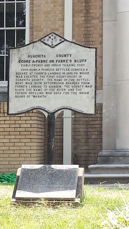
Photographed by Karen Emerson-McPeak, August 5, 2017
1. Ecore A-Fabre or Fabre’s Bluff Marker
Erected 1936 by 1836 Arkansas Centennial Comm., Arkansas History Comm. 1936. (Marker Number C-11.)
Topics and series. This historical marker is listed in these topic lists: Industry & Commerce • Settlements & Settlers. In addition, it is included in the Arkansas Centennial Commission series list. A significant historical year for this entry is 1842.
Location. 33° 35.074′ N, 92° 49.827′ W. Marker is in Camden, Arkansas, in Ouachita County. It is on Jefferson Avenue east of Harrison Street, on the right when traveling east. Located at Ouachita County Courthouse. Touch for map. Marker is at or near this postal address: 145 Jefferson Ave, Camden AR 71701, United States of America. Touch for directions.

Regionally, this marker is in the Gulf Coastal Plain, in Caddo Territory, and in the Quapaw Homeland. It is also in the American South, specifically in the Upper South, and in the Piney Woods. Globally, it is in North America, the Western Hemisphere, the Western World, and the Anglosphere. Historically, it finds itself in what was once the territory of the Mississippian Culture, the Louisiana Purchase, one of the Confederate States of America, and the Antebellum South.
Other nearby markers. At least 8 other markers are within one mile of this marker, measured as the crow flies: To Our Confederate Women (a few steps from this marker); Ouachita County Desert Storm Memorial (within shouting distance of this marker); Fort Southerland (approx. 0.4 miles away); Fort Simmons
this page online
More about this marker. One of 143 cast-iron markers placed across Arkansas in partnership with the Arkansas History Commission during the state's 1936 centennial. They were originally silver in color.
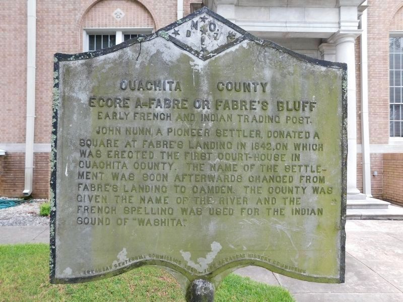
Photographed by Jimmy Emerson, July 5, 2026
2. Ecore A-Fabre or Fabre’s Bluff Marker
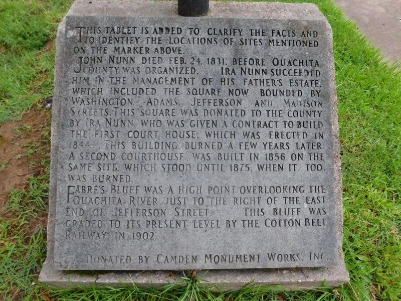
Photographed by Jimmy Emerson, July 5, 2026
3. Ecore A-Fabre or Fabre’s Bluff Marker Clarification Marker
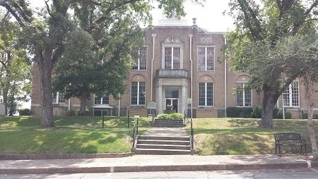
Photographed by Karen Emerson-McPeak, August 5, 2017
4. Ecore A-Fabre or Fabre’s Bluff Marker
Credits. This page was last revised on July 9, 2026. It was originally submitted on August 15, 2017, by Karen Emerson-McPeak of Triune, Tennessee. This page has been viewed 1,916 times since then and 116 times this year. Photos: 1. submitted on August 15, 2017, by Karen Emerson-McPeak of Triune, Tennessee. 2, 3. submitted on July 8, 2026, by Jimmy Emerson of Dalton, Georgia. 4. submitted on August 15, 2017, by Karen Emerson-McPeak of Triune, Tennessee. • Bill Pfingsten was the editor who published this page.
