
Jean in Clark County, Nevada — The American Mountains (Southwest)
The Yellow Pine Mining Company Railroad
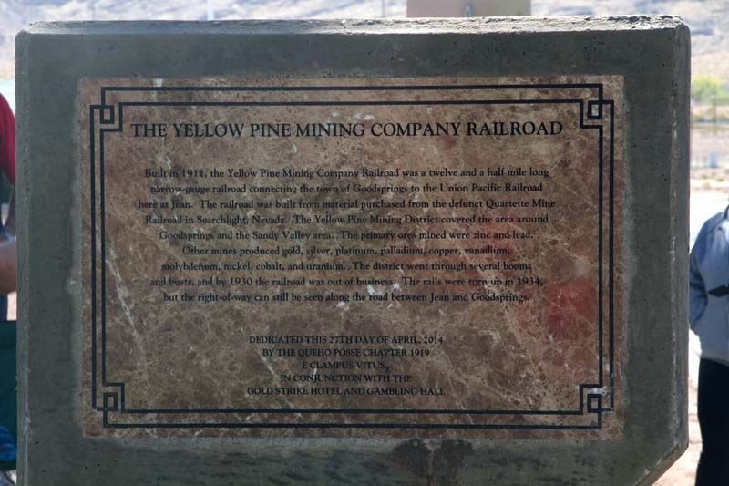
Photographed by Queho Posse Chapter 1919 E Clampus Vitus, April 28, 2014
1. The Yellow Pine Mining Company Railroad Marker
Built in 1911, The Yellow Pine Mining Company Railroad was a twelve and a half mile long narrow gauge railroad connecting the town of Goodsprings with the Union Pacific Railroad here in Jean. The railroad was built using materials from the defunct Quarter Mine Railroad in Searchlight, Nevada. The Yellow Pine Mining District covered the area around Goodsprings and the Sandy Valley area. The primary ores mined were zinc and lead. Other mines produced gold, silver, platinum, palladium, copper, vanadium, molybdenum, nickel, cobalt and uranium.The district went through several booms and busts and by 1930 the Railroad was out of business. The rails were torn up in 1934 but the right-of-way can still be seen along the road between Jean and Goodsprings.
Erected 2014 by Queho Posse Chapter 1919 of the Ancient and Honorable Order of E Clampus Vitus, and Gold Strike Hotel and Gambling Hall.
Topics and series. This historical marker is listed in these topic lists: Railroads & Streetcars • Settlements & Settlers. In addition, it is included in the E Clampus Vitus series list. A significant historical year for this entry is 1911.
Location. 35° 46.754′ N,
this page online

Regionally, this marker is in the Mojave Desert and in Greater Las Vegas. It is also in the American Southwest and in the Mountain West. Globally, it is in North America, the Western Hemisphere, the Western World, and the Anglosphere. Historically, it finds itself in what was once New Spain and also Mexico’s Alta California.
Other nearby markers. At least 8 other markers are within 8 miles of this marker, measured as the crow flies: The Arrowhead Trail Highway (here, next to this marker); Jean, Nevada (a few steps from this marker); The Last Spike (approx. 3.7 miles away); a different marker also named The Last Spike (approx. 5.2 miles away); Goodsprings Veterans Memorial (approx. 6.8 miles away); Goodsprings Cemetery (approx. 6.8 miles away); The Pioneer Saloon (approx. 7
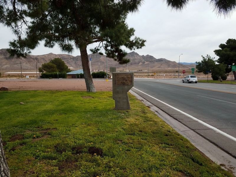
Photographed by Denise Boose
2. The Yellow Pine Mining Company Railroad Marker
Another marker is no longer nearby. Old Elko Fire Bell (was approx. ¼ mile away but has been confirmed missing).
Regarding The Yellow Pine Mining Company Railroad. The former railroad right-of-way can be seen about 200 feet north of the road between Jean and Goodsprings. It is now a dirt road with telephone poles along one side.
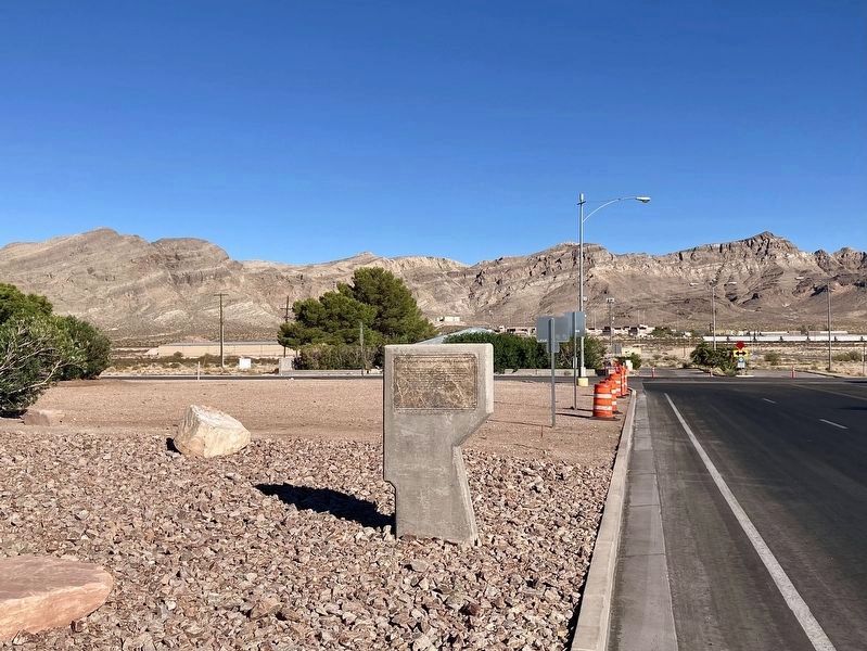
Photographed by Craig Baker, September 9, 2025
3. The Yellow Pine Mining Company Railroad Marker
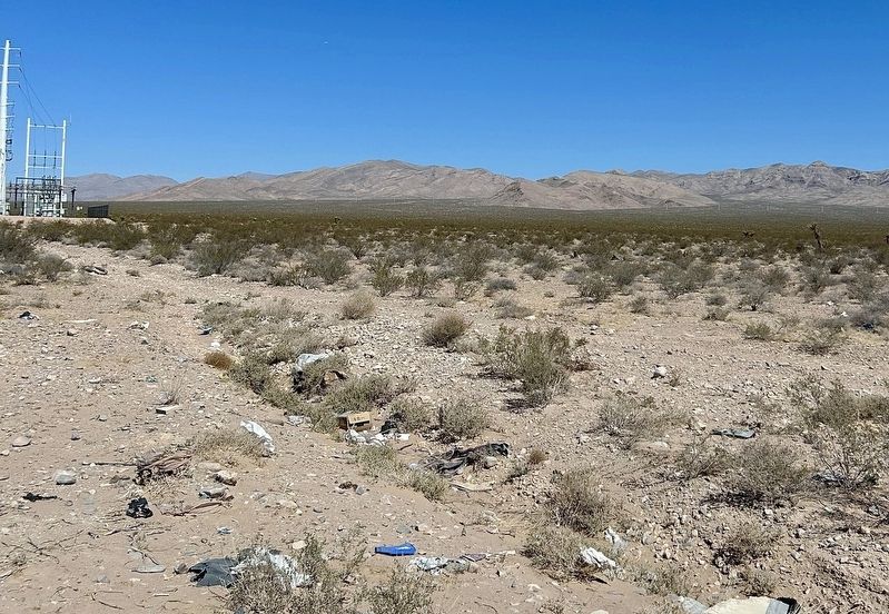
Photographed by Mark Moxley-Knapp, April 20, 2025
4. Railroad Right-of-way
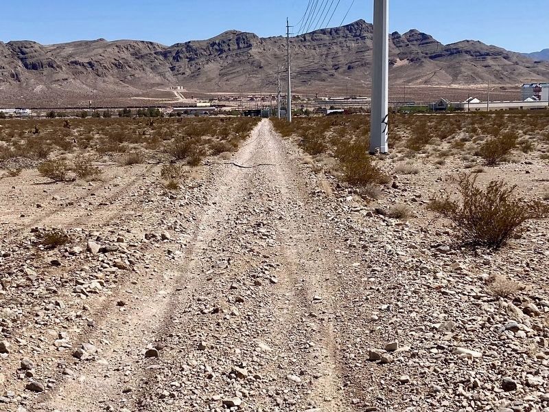
Photographed by Craig Baker, September 14, 2025
5. Railroad Right-Of-Way
Credits. This page was last revised on October 26, 2025. It was originally submitted on August 15, 2017, by Frank Gunshow Sanchez of Hollister, California. This page has been viewed 957 times since then and 57 times this year. Photos: 1. submitted on August 15, 2017. 2. submitted on November 18, 2017, by Denise Boose of Tehachapi, California. 3. submitted on September 14, 2025, by Craig Baker of Sylmar, California. 4. submitted on April 24, 2025, by Mark Moxley-Knapp of Columbus, Ohio. 5. submitted on September 14, 2025, by Craig Baker of Sylmar, California. • Syd Whittle was the editor who published this page.
