Near Stovall in Meriwether County, Georgia — The American South (South Atlantic)
Union Cemetery
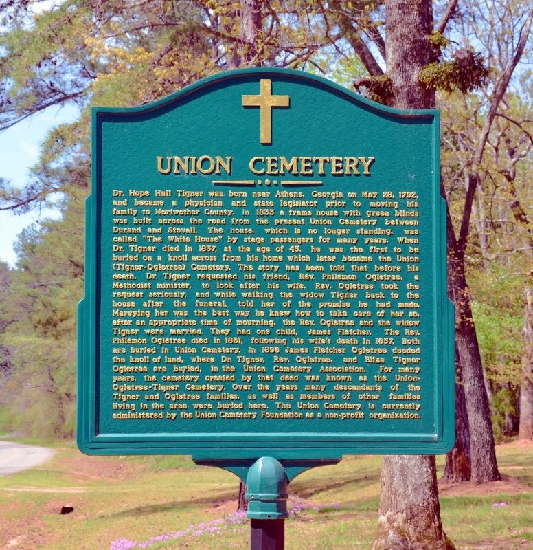
Photographed by David Seibert, April 13, 2013
1. Union Cemetery Marker
this page online
Topics. This historical marker is listed in these topic lists: Cemeteries & Burial Sites • Settlements & Settlers.
Location. 32° 57′ N, 84° 48.15′ W. Marker is near Stovall, Georgia, in Meriwether County. It is on Milton Dunn Road 0.1 miles north of Arbor Chapel Road, on the right when traveling north. Milton Dunn Road is also identified as Hardy Road, Harry Hardy Road, and Tigner Road at different points. It is one continuous road. Touch for map. Marker is in this post office area: Greenville GA 30222, United States of America.
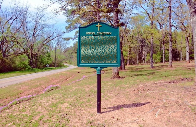
Photographed by David Seibert, April 13, 2013
2. Union Cemetery Marker

Regionally, this marker is in the Piedmont. It is also in the American South and specifically in the Deep South. Globally, it is in North America, the Western Hemisphere, the Western World, and the Anglosphere. Historically, it finds itself in what was once the territory of the Mississippian Culture, one of the original Thirteen Colonies, one of the Confederate States of America, and the Antebellum South.
Other nearby markers. At least 8 other markers are within 8 miles of this marker, measured as the crow flies: Chipley - Pine Mountain, Georgia (approx. 6.6 miles away); The Iron Horse (approx. 6.6 miles away); Troup Factory (approx. 7 miles away); Mountville Community (approx. 7.3 miles away); Dowdell's Knob (approx. 7.4 miles away); Brigadier General David Meriwether (approx. 7½ miles away); Men of Meriwether Who Gave Their All (approx. 7½ miles away); Our Soldiers (approx. 7½ miles away).
Another marker is no longer nearby. Trinity United Methodist Church (was approx. 2.8 miles away but has been permanently removed).
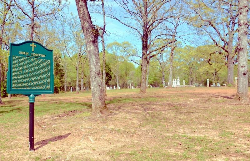
Photographed by David Seibert, April 13, 2013
3. Union Cemetery Marker and Cemetery
Credits. This page was last revised on August 17, 2017. It was originally submitted on August 17, 2017, by David Seibert of Sandy Springs, Georgia. This page has been viewed 878 times since then and 59 times this year. Photos: 1, 2, 3. submitted on August 17, 2017, by David Seibert of Sandy Springs, Georgia.
