
Westerville in Franklin County, Ohio — The American Midwest (Great Lakes)
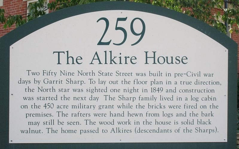
The Alkire House
259
Photographed by Rev. Ronald Irick, August 15, 2017
1. The Alkire House Marker
Topics. This historical marker is listed in these topic lists: Architecture • Settlements & Settlers.
Location. 40° 7.973′ N, 82° 55.984′ W. Marker is in Westerville, Ohio, in Franklin County. It is at the intersection of North State Street (Ohio Route 3) and Old County Line Road, on the right when traveling south on North State Street. Touch for map. Marker is at or near this postal address: 259 N State St, Westerville OH 43081, United States of America. Touch for directions.

Regionally, this marker is in the Scioto Valley and in the Columbus Metropolitan Area. It
this page online
Other nearby markers. At least 8 other markers are within walking distance of this marker: In Memory of St. Paul the Apostle Rectory (approx. 0.2 miles away); Olde Methodist (Lincoln Street) Cemetery (approx. 0.3 miles away); King's Sunoco Service / Joe's Sunoco Service (approx. 0.3 miles away); Methodism in Westerville (approx. 0.4 miles away); Grace Evangelical Lutheran Church / Independent Order of Odd Fellows Lodge 327 (approx. 0.4 miles away); 42-44 North State Street (approx. 0.4 miles away); Guitner's Dry Goods (approx. 0.4 miles away); Isaly's Dairy Store (approx. 0.4 miles away). Touch for a list and map of all markers in Westerville.
Photographed by Rev. Ronald Irick, August 15, 2017
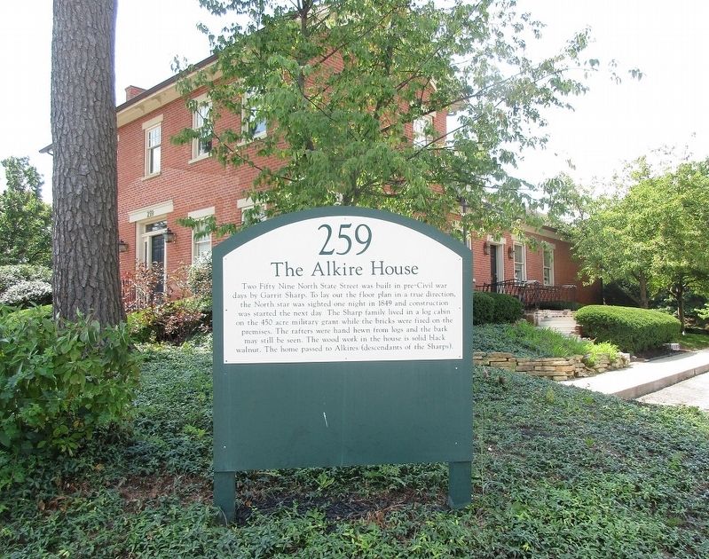
2. The Alkire House Marker
full view of marker in front of house
Photographed by Rev. Ronald Irick, August 15, 2017
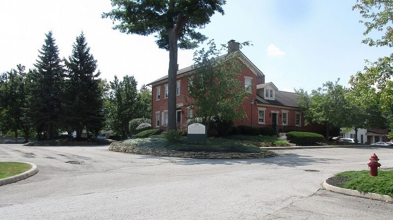
3. The Alkire House Marker
as seen from a distance
Photographed by Rev. Ronald Irick, August 15, 2017
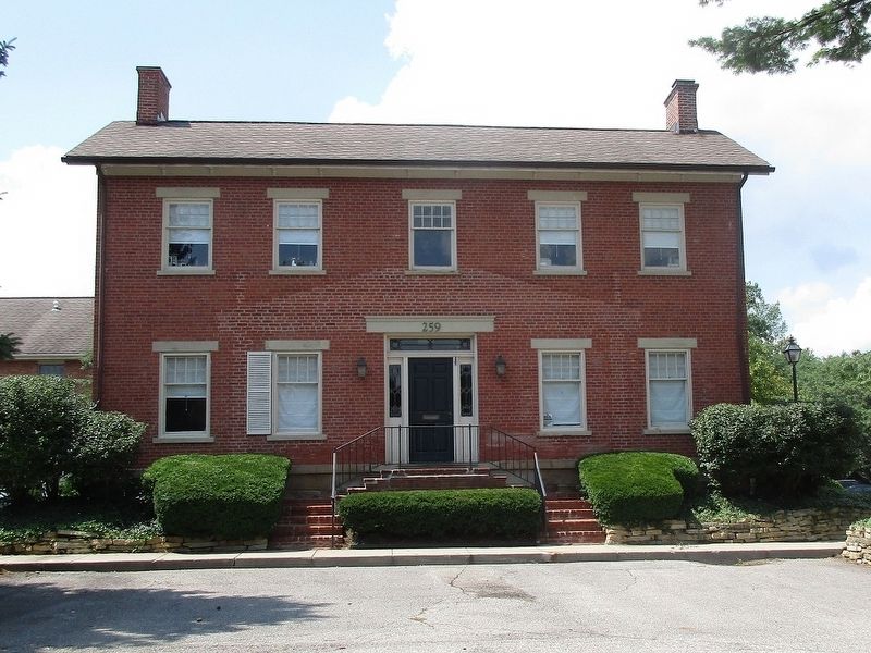
4. The Alkire House Marker
front elevation of the house
Credits. This page was last revised on June 28, 2022. It was originally submitted on August 17, 2017, by Rev. Ronald Irick of West Liberty, Ohio. This page has been viewed 938 times since then and 60 times this year. Photos: 1, 2, 3, 4. submitted on August 17, 2017, by Rev. Ronald Irick of West Liberty, Ohio. • Bill Pfingsten was the editor who published this page.
