Guerneville in Sonoma County, California — The American West (Pacific Coastal)
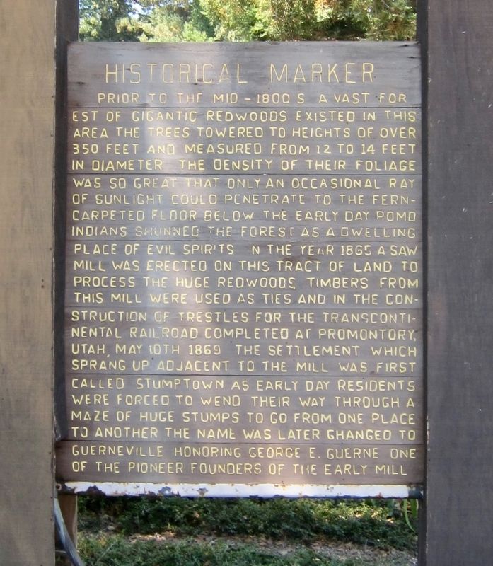
Guerneville Historical Marker
Prior to the mid-1800s a vast forest of gigantic redwoods existed in this area The trees towered to heights of over 350 feet and measured from 12 to 14 feet in diameter The density of their foliage was so great that only an occasional ray of sunlight could penetrate to the fern-carpeted floor below The early day Pomo Indians shunned the forest as a dwelling place of evil spirits In the year 1865 a saw mill was erected on this tract of land to process the huge redwoods Timbers from this mill were used as ties and in the construction of trestles for the transcontinental railroad completed at Promontory, Utah May 10th 1869 The settlement which sprang up adjacent to the mill was first called Stumptown as early day residents were forced to wend their way through a maze of huge stumps to go from one place to another The name was later changed to Guerneville honoring George E. Guerne one of the pioneer founders of the early mill
Erected 1961.
Topics. This historical marker is listed in these topic lists: Industry & Commerce • Settlements & Settlers. A significant historical year for this entry is 1869.
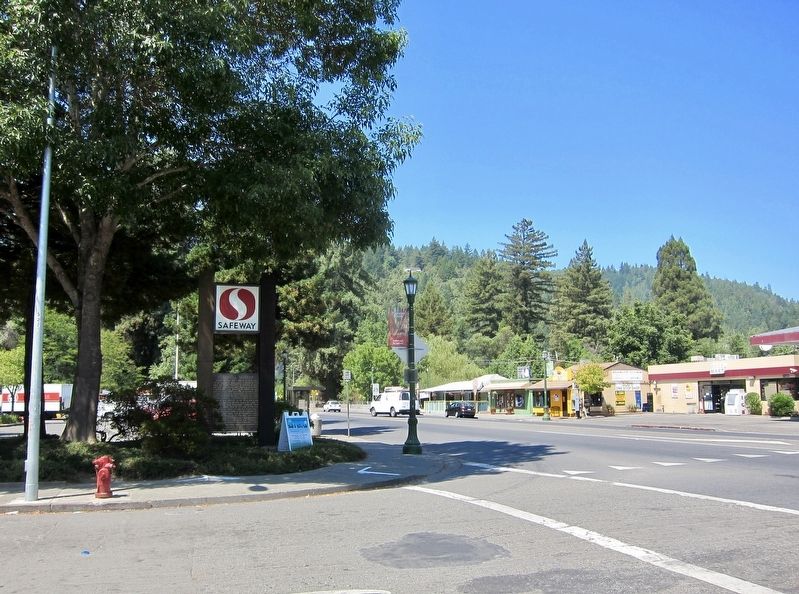
Location. 38° 30.114′ N, 123° 0.022′ W. Marker is in Guerneville, California, in Sonoma County. Marker is at the intersection of River Road and Mill Street, on the left when traveling west on River Road. Touch for map. Marker is at or near this postal address: 16405 Highway 116, Guerneville CA 95446, United States of America. Touch for directions.
Other nearby markers. At least 8 other markers are within 6 miles of this marker, measured as the crow flies. Bank of Guerneville (about 500 feet away, measured in a direct line); Korbel Station (approx. 1.9 miles away); Pioneers of Preservation (approx. 2˝ miles away); Pond Farm Pottery (approx. 3.4 miles away); The Moscow Barn (approx. 3.8 miles away); First Time Poetry Left At Stage Holdup (approx. 4.4 miles away); Duncans Mills Depot Museum (approx. 4˝ miles away); First Power Commercial Sawmill (approx. 5.7 miles away). Touch for a list and map of all markers in Guerneville.
More about this marker. Although the marker is on the main road running through town, River Road (Highway 116), the marker is easy to miss, as it sits below a Safeway sign. The text is visible only when heading west.
Credits. This page was last revised on August 17, 2017. It was originally submitted on August 17, 2017, by Andrew Ruppenstein of Lamorinda, California. This page has been viewed 201 times since then and 18 times this year. Photos: 1, 2. submitted on August 17, 2017, by Andrew Ruppenstein of Lamorinda, California.

