Near Mayflower in Newton County, Texas — The American South (West South Central)
The Survey Community
Photographed by Tom Bosse, July 4, 2017
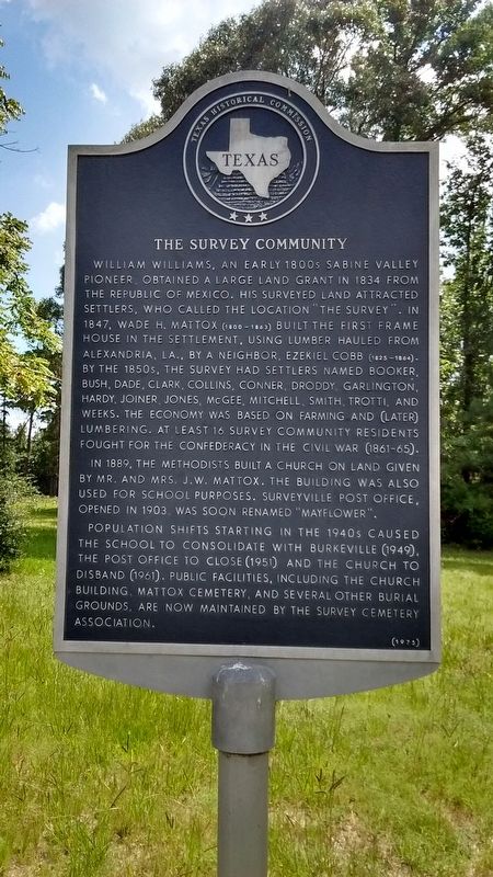
1. The Survey Community Marker
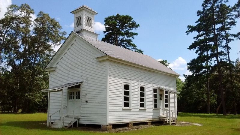
In 1889, the Methodists built a church on land given by Mr. and Mrs. J.W. Mattox. The building was also used for school purposes. Surveyville Post Office, opened in 1903, was soon renamed “Mayflower”.
Population shifts starting in the 1940s caused the school to consolidate with Burkeville (1949), the post office to close (1951) and the church to disband (1961). Public facilities, including the church building, Mattox Cemetery, and several other burial grounds, are now maintained by the Survey Cemetery Association.
Erected 1975 by Texas Historical Commission. (Marker Number 11147.)
Topics. This historical marker is listed in this topic list: Settlements & Settlers. A significant historical year for this entry is 1834.
Location. 31° 5.13′ N, 93° 43.148′ W. Marker is near Mayflower, Texas, in Newton County. It is on State Highway 87 0.3 miles south of County Highway 2149, on the right when traveling south. Touch for map. Marker is in this post office area: Wiergate TX 75977, United States of America. Touch for directions.

Regionally, this marker is in the American South, specifically in the Deep
this page online
Other nearby markers. At least 8 other markers are within 7 miles of this marker, measured as the crow flies: Mattox Cemetery (approx. 0.2 miles away); The Old Beef Road (approx. 0.6 miles away); Wiergate (approx. 5.4 miles away); Blum Male and Female College (approx. 6.7 miles away); Cade Building (approx. 6.7 miles away); Round Table Inn (approx. 6.8 miles away); Burkeville Church of God (approx. 6.8 miles away); Tanner Cemetery (approx. 6.8 miles away). Touch for a list and map of all markers in Mayflower.
Photographed by Tom Bosse, July 4, 2017
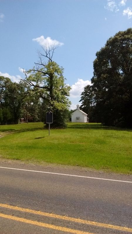
2. The Survey Community Marker
Photographed by Tom Bosse, July 4, 2017
3. Methodist Church
Credits. This page was last revised on August 21, 2017. It was originally submitted on August 18, 2017, by Tom Bosse of Jefferson City, Tennessee. This page has been viewed 795 times since then and 42 times this year. Photos: 1, 2, 3. submitted on August 18, 2017, by Tom Bosse of Jefferson City, Tennessee. • Bernard Fisher was the editor who published this page.
