Burkeville in Newton County, Texas — The American South (West South Central)
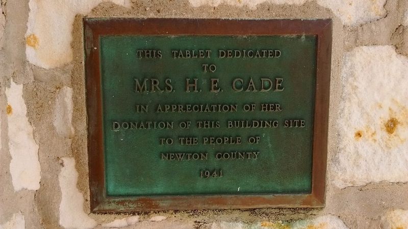
Cade Building
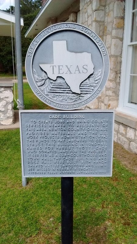
Photographed by Tom Bosse, July 4, 2017
1. Cade Building Marker
Given by James P. Lee to honor his high school class of 1942
Erected 1993 by Texas Historical Commission. (Marker Number 11108.)
Topics. This historical marker is listed in this topic list: Notable Buildings.
Location. 30° 59.923′ N, 93° 40.15′ W. Marker is in Burkeville, Texas, in Newton County. It is on State Highway 63 east of State Highway 87, on the right when traveling east. Touch for map. Marker is in this post office area: Burkeville TX 75932, United States of America. Touch for directions.

Regionally, this marker is in the American South, specifically in the Deep South, and in the Piney Woods. Globally, it is in North America, a Gulf of Mexico state, the Western Hemisphere, the Western World, and the Anglosphere. Historically, it finds itself in what was once New Spain, the Republic of Texas, one of the Confederate States of America, and the Antebellum South.
Other nearby markers. At least 8 other markers are within 3 miles of this marker, measured as the crow flies: Round Table Inn (about 600 feet away, measured in a direct line); Blum Male and Female College (about 600 feet away); Original Site, Burkeville Methodist Church (approx. 0.2 miles away); Burkeville Church of God (approx. 0.2 miles away); Site of the First Court House of Newton County
this page online
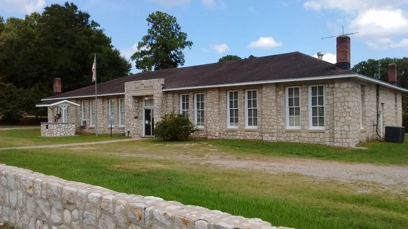
Photographed by Tom Bosse, July 4, 2017
2. Cade Building Marker
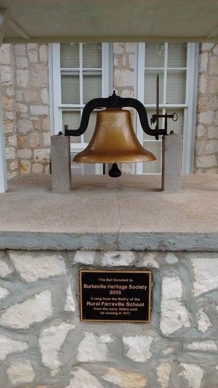
Photographed by Tom Bosse, July 4, 2017
3. School Bell
This bell donated to Burkesville Heritage Society 2005.
It rang from the Belfry of the Rural Farrsville School from the early 1900's until its closing in 1943.
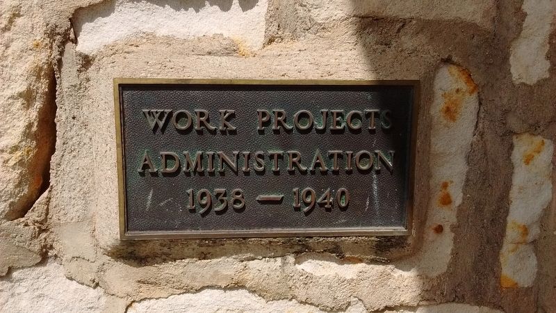
Photographed by Tom Bosse, July 4, 2017
4. Cade Building
Photographed by Tom Bosse, July 4, 2017
5. Cade Building
Credits. This page was last revised on August 21, 2017. It was originally submitted on August 18, 2017, by Tom Bosse of Jefferson City, Tennessee. This page has been viewed 1,057 times since then and 60 times this year. Photos: 1, 2, 3, 4, 5. submitted on August 18, 2017, by Tom Bosse of Jefferson City, Tennessee. • Bernard Fisher was the editor who published this page.
