Near Kirkville in Itawamba County, Mississippi — The American South (East South Central)
Donivan Slough
Natchez Trace Parkway
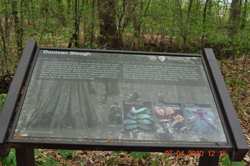
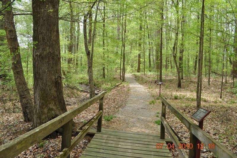
The slough is like a huge sponge. Because plants here do not need to use as much energy to acquire water and nutrients, they are more productive—putting on more leaves and fruit. Notice how lush this forest area is. Abundant water and little disturbance has allowed the trees to grow large with time. Enjoy the pleasant walk as you observe the rich understory of plentiful shrubs and distinct wildflowers.
(captions)
Bald Cypress (Taxodium distichum)
False Solomon's Seal (Smilacina racemosa)
Trout Lily (Erythronium americanum)
Red Trillium (Trillium sesslie)
Erected by Natchez Trace Parkway, National Park Service, U.S. Department of the Interior.
Topics and series. This historical marker is listed in these topic lists: Environment • Horticulture & Forestry • Settlements & Settlers. In addition, it is included in the Natchez Trace series list.
Location. 34° 27.718′ N, 88° 28.628′ W. Marker is near Kirkville, Mississippi, in Itawamba County. Marker is on Natchez Trace Parkway (at milepost 283.3), one mile east of State Highway 371, on the left when traveling east. Touch for map. Marker is in this post office area: Marietta MS 38856, United States of America. Touch for directions.
Other nearby markers. At least 8 other markers are within 10 miles of this marker, measured as the crow flies. A different marker also named Donivan Slough (a few steps from this marker); Pharr Mounds (approx. 3.3 miles away); Twentymile Bottom (approx. 4.7 miles away); Dogwood Valley (approx. 7.7 miles away); Tennessee - Tombigbee Waterway (approx. 9.2 miles away); Jamie L. Whitten Historic Landmark (approx. 9.2 miles away); River, Canal and Cut (approx. 9.2 miles away); James Harrison “Babe” McCarthy (approx. 9˝ miles away).
Also see . . . Natchez Trace Parkway. National Park Servcie (Submitted on August 21, 2017.)

Photographed By Sandra Hughes, April 7, 2010
4. Donivan Slough
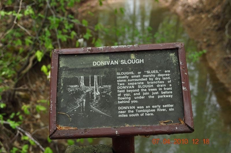
SLOUGHS, or "SLUES" are usually small marshy depressions surrounded by dry land.
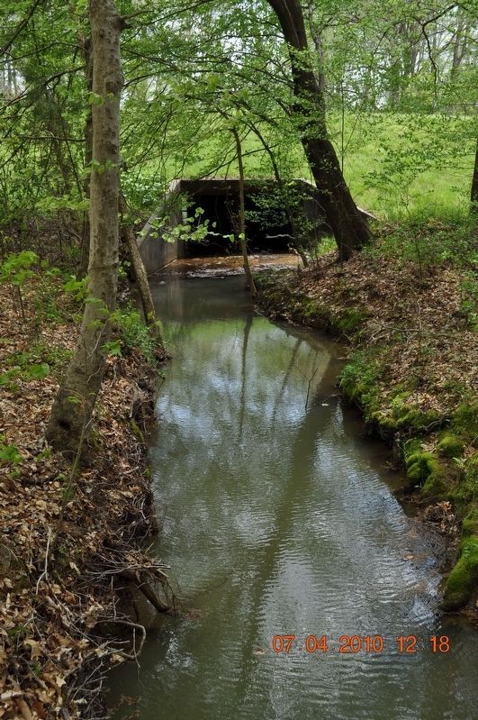
Two separate branches of DONIVAN SLOUGH drain a field beyond the trees in front of you, and join just before flowing under the parkway behind you.
DONIVAN was an early settler near the Tombigee River, six miles south of here.
Credits. This page was last revised on August 22, 2017. It was originally submitted on August 20, 2017, by Sandra Hughes Tidwell of Killen, Alabama, USA. This page has been viewed 317 times since then and 18 times this year. Photos: 1, 2, 3, 4. submitted on August 20, 2017, by Sandra Hughes Tidwell of Killen, Alabama, USA. • Bernard Fisher was the editor who published this page.


