Sandys in Sandys Parish, Bermuda, British Overseas Territories — North Atlantic Ocean (Sargasso Sea)
The Great Western Storehouse
Completed in 1857
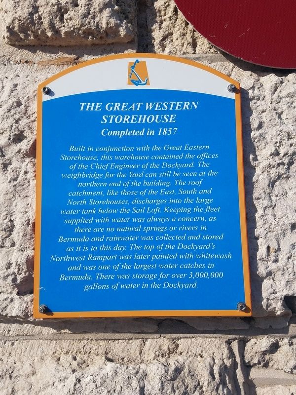
Photographed by Bill Coughlin, July 20, 2017
1. The Great Western Storehouse Marker
Topics. This historical marker is listed in this topic list: Military.
Location. 32° 19.557′ N, 64° 50.128′ W. Marker is in Sandys, Bermuda, in Sandys Parish. It is at the intersection of Camber Road and Storehouse Lane, on the left when traveling west on Camber Road. Touch for map. Marker is at or near this postal address: Camber Road 1, Sandys, Bermuda MA 01,
this page online

Regionally, it is on the Atlantic Ocean, in the North Atlantic Region, and in the Anglosphere.
Other nearby markers. At least 8 other markers are within 16 kilometers of this marker, measured as the crow flies: North Rock Beacon (within shouting distance of this marker); Victualling Yard (approx. 0.3 kilometers away); The Broad Arrow (approx. 0.3 kilometers away); United States Navy Anchor (approx. 15.9 kilometers away); Pilot Darrell's House (approx. 16 kilometers away); John Till (approx. 16.1 kilometers away); First Government House (approx. 16.1 kilometers away); Midshipman Richard Sutherland Dale (approx. 16.1 kilometers away). Touch for a list and map of all markers in Sandys.
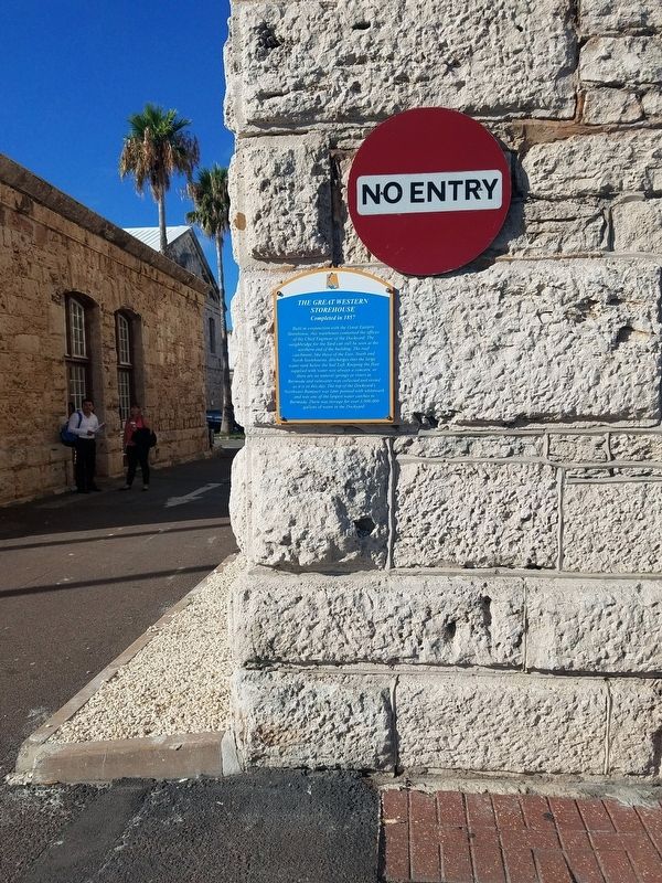
Photographed by Bill Coughlin, July 20, 2017
2. The Great Western Storehouse Marker
Credits. This page was last revised on November 26, 2021. It was originally submitted on August 21, 2017, by Bill Coughlin of Woodland Park, New Jersey. This page has been viewed 335 times since then and 29 times this year. Photos: 1, 2. submitted on August 21, 2017, by Bill Coughlin of Woodland Park, New Jersey.
