
Yarmouth in Yarmouth County, Nova Scotia — The Atlantic Provinces (North America)
Manufacturing
Goods & Services for the Marketplace
Photographed by William Fischer, Jr., July 24, 2017
1. Manufacturing Marker
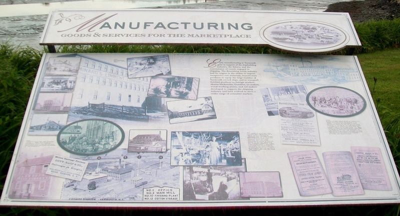
[Photo captions, from left to right, read]
• Parker-Eakins Sail Loft, about 1900
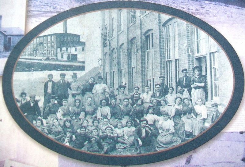
• Yarmouth Duck and Yarn Company Limited, c. 1900, with Carding Department staff. The cotton mill was a significant employer for women of the community.
• The Yarmouth Duck and Yarn Company was incorporated in 1883. The ship County of Yarmouth was the first vessel outfitted with sails from the Yarmouth Duck and Yarn Company. The firm later expanded its range of cotton goods to include industrial and consumer products. It went through changes in ownership and name, including Cosmos Imperial
this page online
• Burrell-Johnson began as one of Yarmouth's major manufacturing industries in the 1850s. It started as a blacksmith shop producing products for the ship building industry. At the end of the First World War, it closed after producing munitions and aircraft parts for the war effort. The 1890 Yarmouth Directory advertisement describes the range of products and services the firm provided at that time. During its peak production years Burrell-Johnson employed 150 workmen and boys in its foundry, shipyard, and machine shop.
Learn more about Yarmouth's heritage at the Yarmouth County Museum and Archives, 22 Collins Street
Erected 2003 by Yarmouth Waterfront Development Corporation and Others.
Topics. This historical marker is listed in this topic list: Industry & Commerce. A significant historical year for this entry is 1900.
Location. 43° 50.754′ N, 66° 7.085′ W. Marker is in Yarmouth, Nova Scotia, in Yarmouth County. It is on Water Street 0.1 kilometers south of Richards Lane, on the right when traveling south. Touch for map. Marker
Photographed by William Fischer, Jr., July 24, 2017
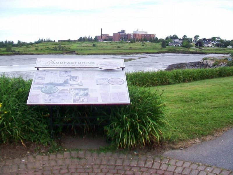
2. Manufacturing Marker

Regionally, this marker is in Nova Scotia’s Yarmouth and the Acadian Shores. It is also in the Maritimes and in Atlantic Canada. Globally, it is in the North Atlantic Region, North America, the Western Hemisphere, the Western World, and the Anglosphere. Historically, it finds itself in what was once a British colony, the Viceroyalty of New France, and Acadia.
Other nearby markers. At least 8 other markers are within walking distance of this marker: Land Transportation (here, next to this marker); Early Settlement (about 120 meters away, measured in a direct line); Political Life (about 120 meters away); Milton Clock (about 120 meters away); Shipbuilding (about 150 meters away); The Fishery (about 180 meters away); Rum Running (about 180 meters away); Coronation Park (approx. 0.4 kilometers away). Touch for a list and map of all markers in Yarmouth.
Also see . . . A Brief Town of Yarmouth History. (Submitted on August 21, 2017, by William Fischer, Jr. of Reynoldsburg, Ohio.)
Photographed by William Fischer, Jr.
3. Land Transportation and Manufacturing Markers
Photographed by Unknown, circa 1900
4. Photo on Manufacturing Marker
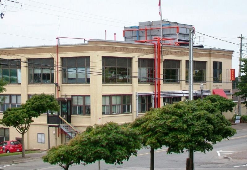
Photographed by William Fischer, Jr., July 24, 2017
5. Former Burrell-Johnson Iron Company Building
Credits. This page was last revised on May 15, 2024. It was originally submitted on August 21, 2017, by William Fischer, Jr. of Reynoldsburg, Ohio. This page has been viewed 868 times since then and 16 times this year. Photos: 1, 2, 3, 4, 5. submitted on August 21, 2017, by William Fischer, Jr. of Reynoldsburg, Ohio.
