Leedstown in Westmoreland County, Virginia — The American South (Mid-Atlantic)
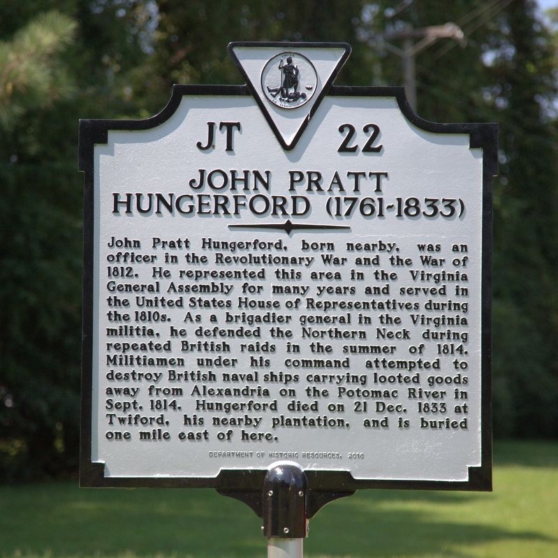
John Pratt Hungerford
(1761–1833)
Erected 2017 by Department of Historic Resources. (Marker Number JT-22.)
Topics and series. This historical marker is listed in these topic lists: Government & Politics • War of 1812 • War, US Revolutionary. In addition, it is included in the Virginia Department of Historic Resources (DHR) series list. A significant historical year for this entry is 1814.
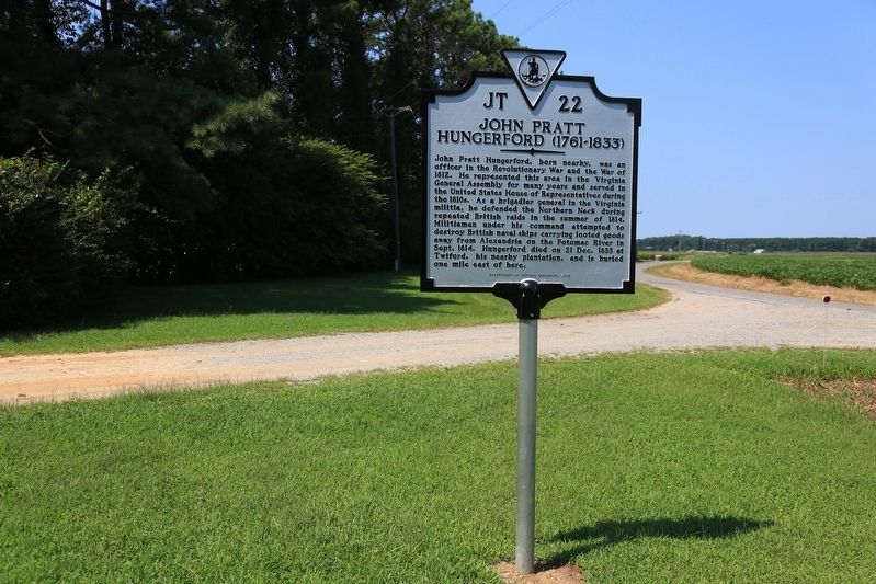
Location. 38° 6.691′ N, 77° 0.295′ W. Marker is in Leedstown, Virginia, in Westmoreland County. Marker is on Leedstown Road (County Route 637) east of Drakes Marsh Drive, on the left when traveling east. It is at the entrance to the Leedstown Campground. Touch for map. Marker is at or near this postal address: 2195 Leedstown Rd, Colonial Beach VA 22443, United States of America. Touch for directions.
Other nearby markers. At least 8 other markers are within 5 miles of this marker, measured as the crow flies. Leedstown (within shouting distance of this marker); Pissaseck Indians (within shouting distance of this marker); Early Settlement (approx. 3.1 miles away); Layton’s Landing Wharf and Ferry (approx. 3.1 miles away); Saunders’s Wharf (approx. 3.1 miles away); Vauter's Church (approx. 3.9 miles away); Portobacco Indians (approx. 4.3 miles away); Westmoreland Association (approx. 4.9 miles away).
Also see . . . Entry in the Biographical Directory of the United States Congress. (Submitted on August 23, 2017.)
Credits. This page was last revised on August 23, 2017. It was originally submitted on August 23, 2017, by J. J. Prats of Powell, Ohio. This page has been viewed 419 times since then and 31 times this year. Photos: 1, 2. submitted on August 23, 2017, by J. J. Prats of Powell, Ohio.

