Baton Rouge in East Baton Rouge Parish, Louisiana — The American South (West South Central)
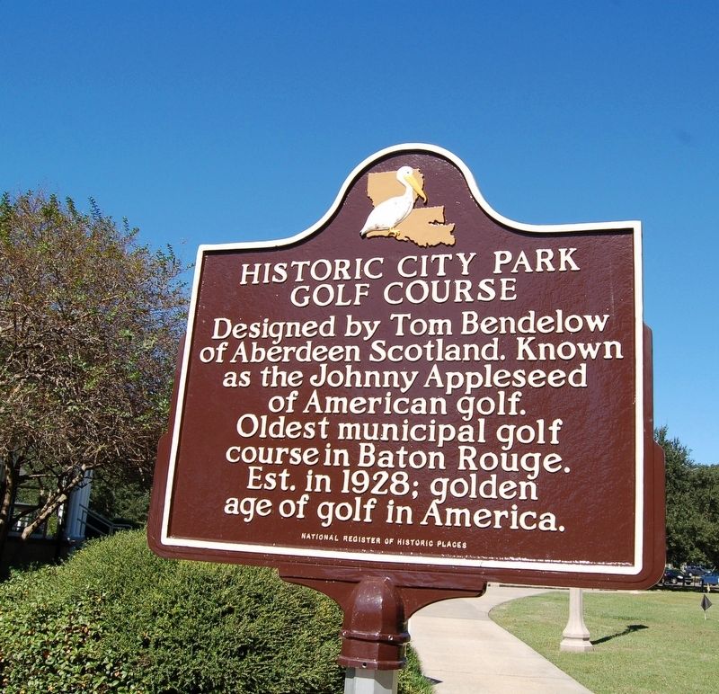
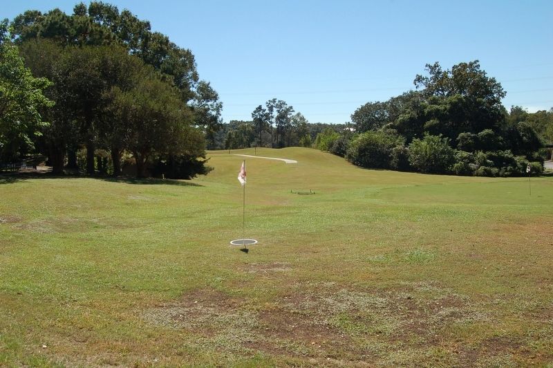
Historic City Park Golf Course
Erected by National Register of Historic Places.
Topics. This historical marker is listed in this topic list: Sports. A significant historical year for this entry is 1928.
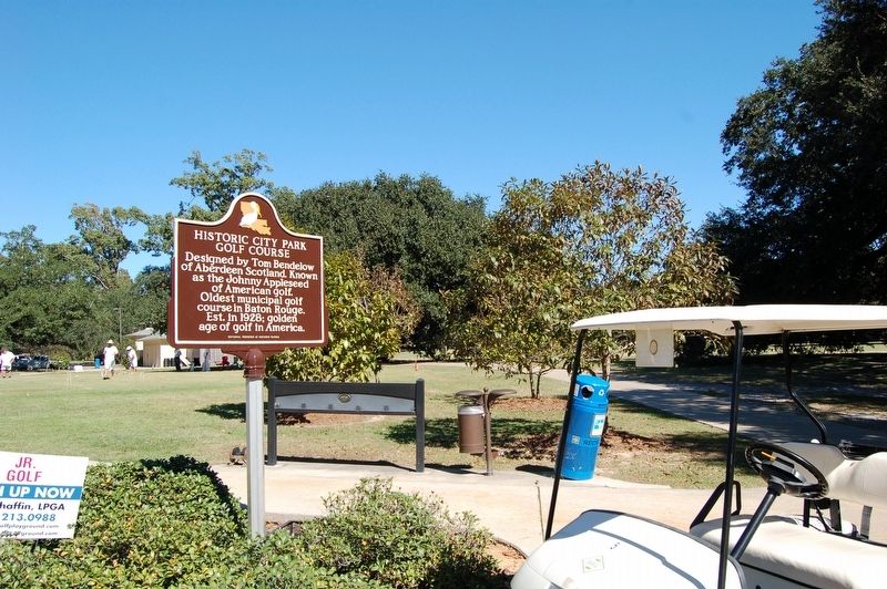
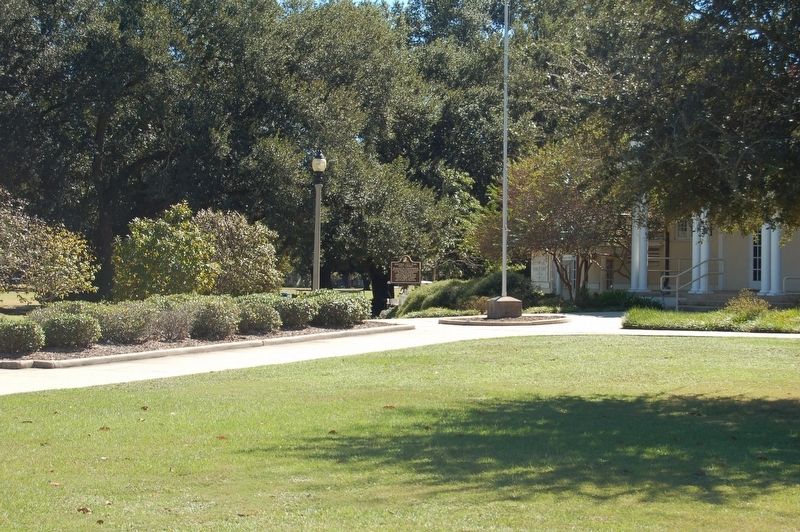
Location. 30° 26.004′ N, 91° 9.997′ W. Marker is in Baton Rouge, Louisiana, in East Baton Rouge Parish. Marker can be reached from Perkins Road, 0.2 miles east of Broussard Street, on the right when traveling east. Located in front of the City Park Golf Pro Shop. Touch for map. Marker is at or near this postal address: 1515 Dalrymple Drive, Baton Rouge LA 70808, United States of America. Touch for directions.
Other nearby markers. At least 8 other markers are within 2 miles of this marker, measured as the crow flies. Stories of City Park (about 600 feet away, measured in a direct line); Spanish-American War Memorial (approx. 0.2 miles away); Civil War Battle (approx. 0.7 miles away); A Bench By The Road (approx. ¾ mile away); Baton Rouge Lakes (approx. 0.8 miles away); Genl. Philemon Thomas (approx. 1.1 miles away); Baton Rouge National Cemetery (approx. 1.1 miles away); National Cemetery (approx. 1.1 miles away). Touch for a list and map of all markers in Baton Rouge.
Credits. This page was last revised on September 22, 2020. It was originally submitted on October 24, 2016. This page has been viewed 341 times since then and 20 times this year. Last updated on August 24, 2017. Photos: 1, 2, 3, 4. submitted on October 24, 2016. 5. submitted on August 24, 2017, by Clarence von Aspern of Baton Rouge, Louisiana.
