Near Fort Oglethorpe in Walker County, Georgia — The American South (South Atlantic)
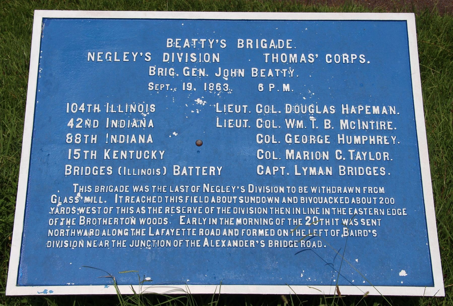
J. Beatty's Brigade
Neagley's Division
— Thomas' Corps —
Negley's Division - Thomas' Corps.
Brigadier General John Beatty.
September 19, 1863, 6 p.m.
104th Illinois - Lieutenant Colonel Douglas Hapeman.
42nd Indiana - Lieutenant Colonel William T.B. McIntire.
88th Indiana - Colonel George Humphrey.
15th Kentucky - Colonel Marion C. Taylor.
Bridges (Illinois) Battery - Captain Lyman Bridges.
This Brigade was the last of Negley's Division to be withdrawn from Glass Mill. It reached this field about sundown and bivouacked about 200 yards west of this as the reserve of the division then in line in the eastern edge of the Brotherton woods. Early in the morning of the 20th it was sent northward along the LaFayette road and formed on the left of Baird's Division near the junction of the Alexander's Bridge road.
Erected 1890 by the Chickamauga and Chattanooga National Military Park Commission. (Marker Number MT-545.)
Topics. This historical marker is listed in this topic list: War, US Civil. A significant historical date for this entry is September 19, 1863.
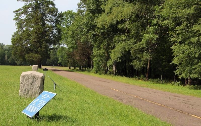
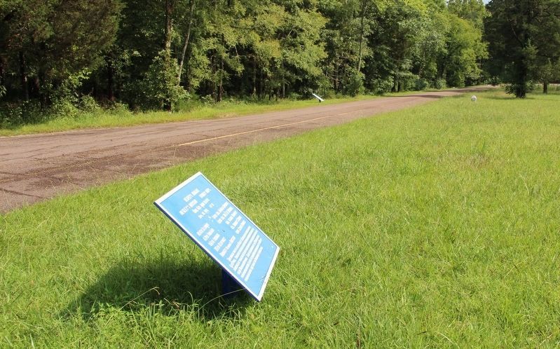
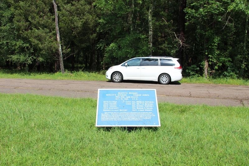
Location. 34° 54.851′ N, 85° 15.964′ W. Marker is near Fort Oglethorpe, Georgia, in Walker County. Marker is on Glenn-Kelly Road east of Vittetoe-Chickamauga Road, on the left. This tablet is located a short distance off the west side of the roadway, in a large open field. Touch for map. Marker is in this post office area: Fort Oglethorpe GA 30742, United States of America. Touch for directions.
Other nearby markers. At least 8 other markers are within walking distance of this marker. 42nd Indiana Infantry (here, next to this marker); Stewart's Division (a few steps from this marker); Negley's Division (within shouting distance of this marker); Clayton's Brigade (within shouting distance of this marker); 104th Illinois Infantry (within shouting distance of this marker); 88th Indiana Infantry (within shouting distance of this marker); Laiboldt's Brigade (about 300 feet away, measured in a direct line); 73rd Illinois Infantry (about 300 feet away). Touch for a list and map of all markers in Fort Oglethorpe.
More about this marker. In locating this tablet I used the "Chickamauga Battlefield" map, that I purchased at the Chickamauga and Chattanooga National Military Park, Visitor Center, to determine both the marker number for this tablet and the tablet's location in relation to the rest of the park's monuments, markers, and tablets. According to the map it provides the, "numerical listing of all monuments, markers, and tablets on the Chickamauga Battlefield (using the Chick-Chatt NMP Monument Numbering System).”
Credits. This page was last revised on August 25, 2017. It was originally submitted on August 25, 2017, by Dale K. Benington of Toledo, Ohio. This page has been viewed 171 times since then and 12 times this year. Photos: 1, 2, 3, 4. submitted on August 25, 2017, by Dale K. Benington of Toledo, Ohio.


