Presidio of San Francisco in San Francisco City and County, California — The American West (Pacific Coastal)
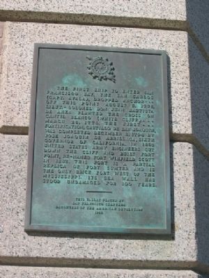
Castillo de San Joaquin
Photographed by Syd Whittle, November 3, 2007
1. Castillo de San Joaquin Marker
Erected 1955 by San Francisco Chapters, Daughters of the American Revolution. (Marker Number 82.)
Topics and series. This historical marker is listed in these topic lists: Forts and Castles • Military • Notable Places. In addition, it is included in the California Historical Landmarks, the Daughters of the American Revolution (DAR), and the Juan Bautista de Anza National Historic Trail series lists. A significant historical date for this entry is March 28, 1942.
Location. 37° 48.625′ N, 122° 28.595′ W.
this page online

Regionally, this marker is on California’s Coast Ranges. It is also on the American Pacific Coast. Globally, it is in North America, on the Ring of Fire, on the Pacific Rim, in the Western Hemisphere, in the Western World, and in the Anglosphere. Historically, it finds itself in what was once New Spain and also Mexico’s Alta California.
Other nearby markers. At least 8 other markers are within walking distance of this marker: Fort Point National Historic Site (a few steps from this marker); Defending the Golden Gate (within shouting distance of this marker); Fort Point Light (within shouting distance of this marker); a different marker also named Defending the Golden Gate (within shouting distance of this marker); Fort Point (about
Photographed by Syd Whittle, January 10, 2009
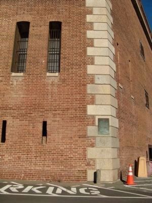
2. Castillo de San Joaquin Marker
Regarding Castillo de San Joaquin. This site is a California Registered Historical Landmark (No.82)
Also see: Fort Point marker
Also see . . . California State Military Museum Fort Point. (Submitted on August 26, 2008, by Syd Whittle of Mesa, Arizona.)
Photographed by Syd Whittle, November 3, 2007
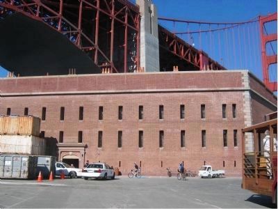
3. Southern Wall of Fort Point
Photographed by Syd Whittle, November 3, 2007
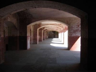
4. Within the Walls
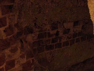
Photographed by Syd Whittle, November 3, 2007
5. The Brick Construction
Credits. This page was last revised on February 7, 2023. It was originally submitted on August 26, 2008, by Syd Whittle of Mesa, Arizona. This page has been viewed 2,682 times since then and 123 times this year. Photos: 1. submitted on August 26, 2008, by Syd Whittle of Mesa, Arizona. 2. submitted on January 12, 2009, by Syd Whittle of Mesa, Arizona. 3, 4, 5. submitted on August 26, 2008, by Syd Whittle of Mesa, Arizona. • Kevin W. was the editor who published this page.
