Near Meredithville in Brunswick County, Virginia — The American South (Mid-Atlantic)
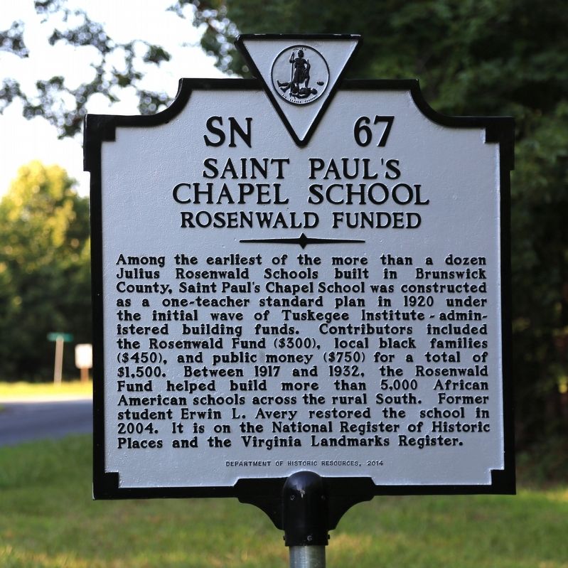
Saint Paulís Chapel School
Rosenwald Funded
Erected 2014 by Department of Historic Resources. (Marker Number SN-67.)
Topics and series. This historical marker is listed in these topic lists: African Americans • Education. In addition, it is included in the Rosenwald Schools, and the Virginia Department of Historic Resources (DHR) series lists. A significant historical year for this entry is 1920.
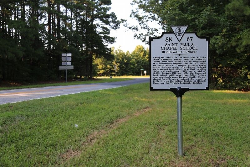
Location. 36° 49.473′ N, 77° 57.535′ W. Marker is near Meredithville, Virginia, in Brunswick County. Marker is at the intersection of Brunswick Drive (County Route 644) and Exit 24 (Interstate 85) on Brunswick Drive. It is just north of the Interstate. Touch for map. Marker is in this post office area: Meredithville VA 23873, United States of America. Touch for directions.
Other nearby markers. At least 8 other markers are within 6 miles of this marker, measured as the crow flies. Southside Virginia Community College (approx. 2Ĺ miles away); Nellie Pratt Russell (approx. 2.6 miles away); Fort Christanna (approx. 2.7 miles away); Old Brunswick Courthouse (approx. 2.7 miles away); Rev. Jesse C. Byrd D.D. (approx. 3.3 miles away); Oak Grove School (approx. 3.3 miles away); Staunton River Raid (approx. 3.6 miles away); Brunswick County, Virginia (approx. 5.4 miles away).
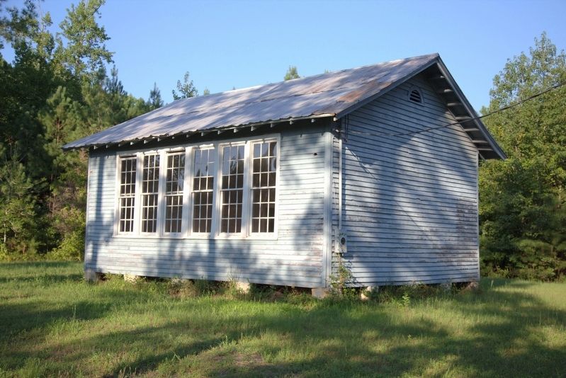
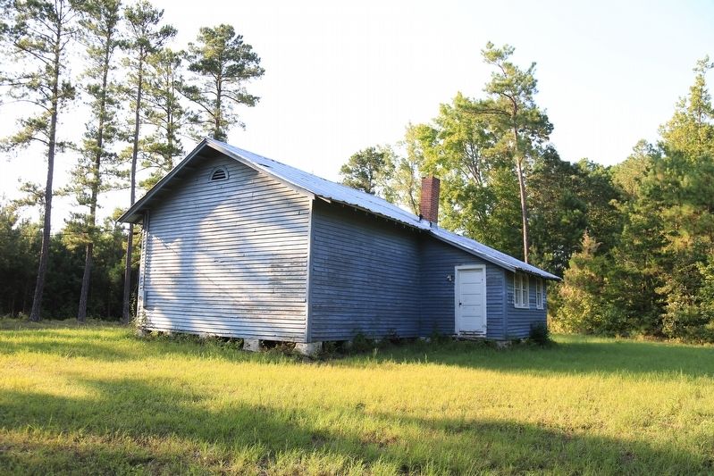
Regarding Saint Paulís Chapel School. The schoolhouse is some 350 feet north of the marker on the right, in the next clearing. It is measures approximately 20 by 40 feet.
Also see . . . 2004 NRHP Nomination Form. (Excerpt) The only one-room school of the 13 constructed in Brunswick County with Rosenwald Fund support, (of the remainder, 11 had two teachers, and one had three teachers) St. Paulís School was built with a total of $1,500 from the Rosenwald Fund. Of that total, the African-American contribution was $450, the public contribution $750, and the Rosenwald Fund contribution $300.
St. Paulís School was one of the early undertakings of the Rosenwald Fund, still in its formative years. In the period in which St. Paul's School was constructed, the Rosenwald Fund was still administered from Tuskegee Institute under Robert Russa Moton. Likely one of the results of its construction in the early years of the Fund, before procedures were fully established and tested, the St. Paulís School appears to have been constructed on private—not public—land, as was later required. This would impact the school in its later years.
On October 7, 1941, a local African-American sharecropper named Stewart Avery purchased the 123-acre farm of Delia Baily; included within the land was the two-acre parcel on which was located the St. Paulís School. The purchase proved contentious in the local community, as Avery claimed ownership of the school. The dispute was resolved with the appointment of a Special Commissioner, J.C. Hutchinson, who decided that the school and the two-acre site belonged to the Bmnswick County School Board. The deed was not granted to Brunswick County until May 1951, and until his death in July 1968, Avery maintained the school belonged to him. Meanwhile, the school closed in June 1960 and remained vacant and disused for over 40 years. (Submitted on August 25, 2017.)
Additional keywords. Also known as St. Paulís School.
Credits. This page was last revised on August 25, 2017. It was originally submitted on August 25, 2017, by J. J. Prats of Powell, Ohio. This page has been viewed 377 times since then and 43 times this year. Photos: 1, 2, 3, 4. submitted on August 25, 2017, by J. J. Prats of Powell, Ohio.


