
Coker in Tuscaloosa County, Alabama — The American South (East South Central)
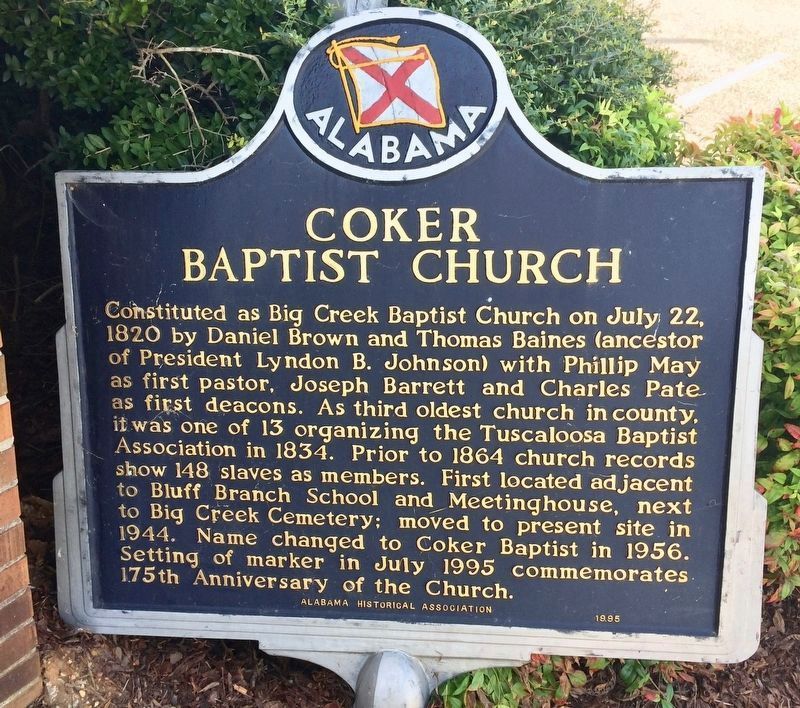
Coker Baptist Church
Photographed by Mark Hilton, August 25, 2017
1. Coker Baptist Church Marker
Pole is directly behind marker. Marker is sitting on ground.
Erected 1995 by Alabama Historical Association.
Topics and series. This historical marker is listed in these topic lists: African Americans • Religion & Religious Structures. In addition, it is included in the Alabama Historical Association series list. A significant historical date for this entry is July 22, 1820.
Location. 33° 14.655′ N, 87° 41.127′ W. Marker is in Coker, Alabama, in Tuscaloosa County. It can be reached from the intersection of Romulus Road and Louise Drive. Touch for map. Marker is
this page online

Regionally, this marker is in the American South and specifically in the Deep South. Globally, it is in North America, a Gulf of Mexico state, the Western Hemisphere, the Western World, and the Anglosphere. Historically, it finds itself in what was once the territory of the Mississippian Culture, one of the Confederate States of America, and the Antebellum South.
Other nearby markers. At least 8 other markers are within 7 miles of this marker, measured as the crow flies: Coker Community Cemetery (approx. 1.2 miles away); Jennings Chapel United Methodist Church (approx. 3.2 miles away); Northport Baptist Church (approx. 6.3 miles away); Wilson-Clements House (approx. 6.3 miles away); Northport First United Methodist Church (approx. 6.4 miles away); Shirley Place (approx. 6.4 miles away); Northport's Cotton Industry / Original Village of North Port (approx. 6.6 miles away); Stillman College (approx. 6.6 miles away).
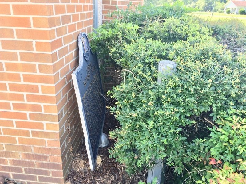
More about this marker. This marker appears to have been purposely removed, it is leaning
Photographed by Mark Hilton, August 25, 2017
2. Coker Baptist Church Marker leaning against church wall, next to mounting pole.
Photographed by Mark Hilton, August 25, 2017
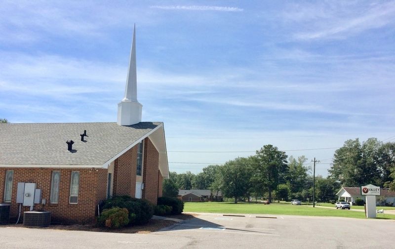
3. Valley Church, formerly Coker Baptist Church.
Marker can be seen in foreground corner of church behind bushes.
Credits. This page was last revised on August 27, 2017. It was originally submitted on August 27, 2017, by Mark Hilton of Montgomery, Alabama. This page has been viewed 840 times since then and 39 times this year. Photos: 1, 2, 3. submitted on August 27, 2017, by Mark Hilton of Montgomery, Alabama.
