
John Day in Grant County, Oregon — The American West (Northwest)
The Adventist Christian Church
Photographed by Don Hann, August 27, 2017
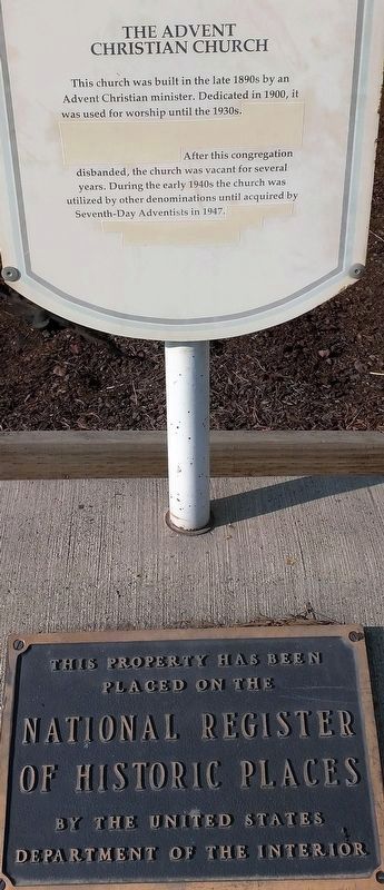
1. The Adventist Christian Church Marker
Upper Marker:
This church was built in the late 1890s by an Advent Christian minister. Dedicated in 1900 it was used for worship until the 1930s. After this congregation disbanded, the church was vacant for several years. During the early 1940s the church was utilized by other denominations until acquired by Seventh-Day Adventists in 1947.
Lower Marker:
placed on the
National Register
of Historic Places
by the United States
Department of the Interior
Topics. This historical marker is listed in this topic list: Religion & Religious Structures. A significant historical year for this entry is 1900.
Location. 44° 24.995′ N, 118° 57.173′ W. Marker is in John Day, Oregon, in Grant County. It is at the intersection of U.S. 26 and Bridge Street, on the right when traveling west on U.S. 26. Touch for map. Marker is in this post office area: John Day OR 97845, United States of America. Touch for directions.

Regionally, this marker is in Eastern Oregon. It is also in the American Mountain West and in the Lewis & Clark Corridor. Globally, it is in North America, the Pacific Rim, the Western Hemisphere, the Western World, and the Anglosphere.
Other nearby markers. At least 8 other markers are within 2 miles of this marker, measured as the crow flies: The Advent Christian Church (about 300 feet away, measured in a direct line); John Day / Canyon City (about 400 feet away); Welcome to Kam Wah Chung (approx. 0.2 miles away); Kam Wah Chung Company Building (approx. ¼ mile away); Civilian Conservation Corps (approx. 0.3 miles away); As told by an old timer (approx. 1.8 miles away); Welcome To Canyon City (approx. 1.9 miles away); Canyon City Mural (approx. 2 miles away). Touch for a list and map of all markers in John Day.
this page online
Photographed by Don Hann, August 27, 2017
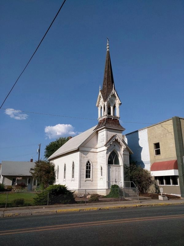
2. The Adventist Christian Church
The marker is in front of church at right.
Photographed by Don Hann, August 27, 2017
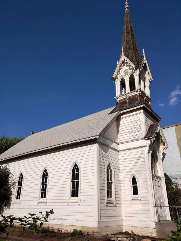
3. The Adventist Christian Church
Photographed by Don Hann, August 27, 2017
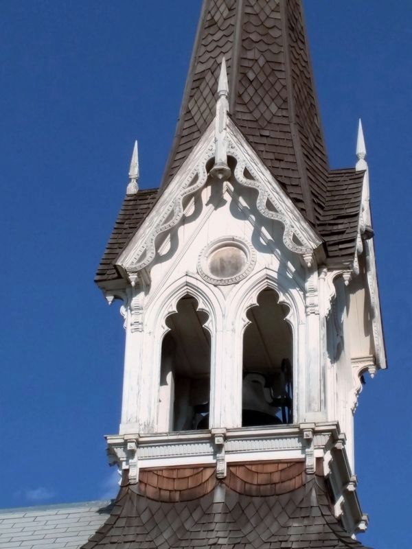
4. The Adventist Christian Church Belfry
Credits. This page was last revised on September 8, 2017. It was originally submitted on August 28, 2017, by Don Hann of Canyon City, Oregon. This page has been viewed 328 times since then and 21 times this year. Photos: 1, 2, 3, 4. submitted on August 28, 2017, by Don Hann of Canyon City, Oregon. • Syd Whittle was the editor who published this page.
