Maryville in Blount County, Tennessee — The American South (East South Central)
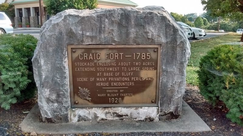
Craig Fort - 1785
Erected 1928 by Daughters of the American Revolution - Mary Blount Chapter.
Topics and series. This historical marker is listed in this topic list: Forts and Castles. In addition, it is included in the Daughters of the American Revolution series list. A significant historical year for this entry is 1785.
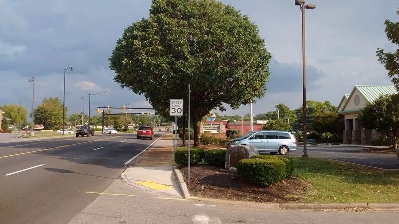
Location. 35° 45.564′ N, 83° 57.978′ W. Marker is in Maryville, Tennessee, in Blount County. Marker is at the intersection of South Washington Street (Tennessee Route 411) and Neff Street, on the right when traveling south on South Washington Street. Touch for map. Marker is in this post office area: Maryville TN 37804, United States of America. Touch for directions.
Other nearby markers. At least 8 other markers are within walking distance of this marker. John Craig's Fort (about 300 feet away, measured in a direct line); Louis Philippe's Visit (approx. 0.3 miles away); Blount County War Dead Memorial (approx. 0.4 miles away); Maryville College (approx. 0.4 miles away); Blount County Revolutionary War Memorial (approx. 0.4 miles away); “Battle of the Bulge” World War II Veterans of Blount County (approx. 0.4 miles away); General Sam Houston (approx. 0.4 miles away); Where Houston Enlisted (approx. 0.4 miles away). Touch for a list and map of all markers in Maryville.
Credits. This page was last revised on August 29, 2017. It was originally submitted on August 28, 2017, by Tom Bosse of Jefferson City, Tennessee. This page has been viewed 536 times since then and 27 times this year. Photos: 1, 2. submitted on August 28, 2017, by Tom Bosse of Jefferson City, Tennessee. • Bill Pfingsten was the editor who published this page.

