
Myersville in Frederick County, Maryland — The American Northeast (Mid-Atlantic)
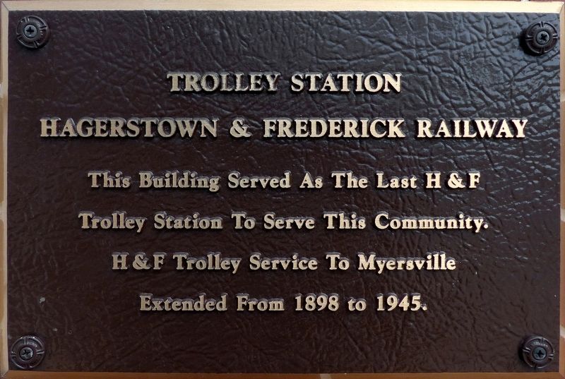
Trolley Station
Hagerstown & Frederick Railway
Photographed by Allen C. Browne, August 22, 2017
1. Trolley Station Marker
Trolley Station To Serve This Community
H & F Trolley Service To Myersville
Extended From 1898 To 1945.
Topics. This historical marker is listed in this topic list: Railroads & Streetcars.
Location. 39° 30.401′ N, 77° 33.993′ W. Marker is in Myersville, Maryland, in Frederick County. It is on Main Street (Maryland Route 17). Touch for map. Marker is at or near this postal address: 309 Main Street, Myersville MD 21773, United States of America. Touch for directions.

Regionally, this marker is in the Washington Metropolitan Area and in Central Maryland. It is also in the American Mid-Atlantic. Globally, it is in North America, the Western Hemisphere, the Western World, and the Anglosphere. Historically, it finds itself in what was once one of the original Thirteen Colonies and also the Antebellum South.
Other nearby markers. At least 8 other markers are within 3 miles of this marker, measured as the crow flies: Religious Traditions (a few steps from this marker); The H & F Trolley (a few steps from this marker); Farming in the Valley
this page online
Photographed by Allen C. Browne, August 22, 2017
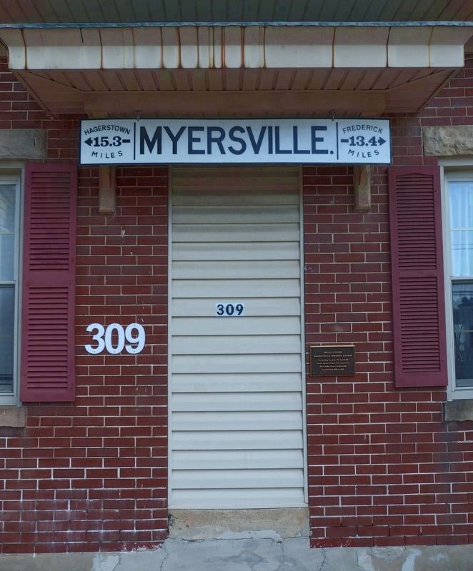
2. Trolley Station Marker
←Hagerstown 15.3 Miles
Frederick 13.4 Miles→
Photographed by Allen C. Browne, August 22, 2017
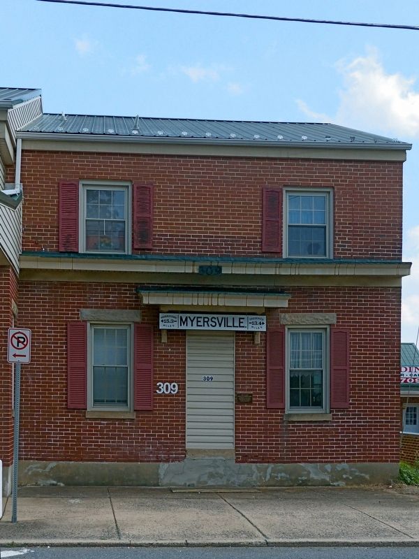
3. Trolley Station
Photographed by Allen C. Browne, August 22, 2017
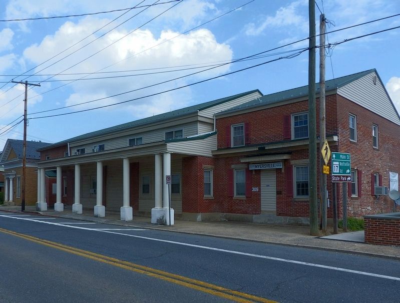
4. Trolley Station
Credits. This page was last revised on August 30, 2017. It was originally submitted on August 29, 2017, by Allen C. Browne of Silver Spring, Maryland. This page has been viewed 343 times since then and 21 times this year. Photos: 1, 2, 3, 4. submitted on August 29, 2017, by Allen C. Browne of Silver Spring, Maryland. • Bill Pfingsten was the editor who published this page.
