Near Kenbridge in Lunenburg County, Virginia — The American South (Mid-Atlantic)
St. John’s Protestant Episcopal Church
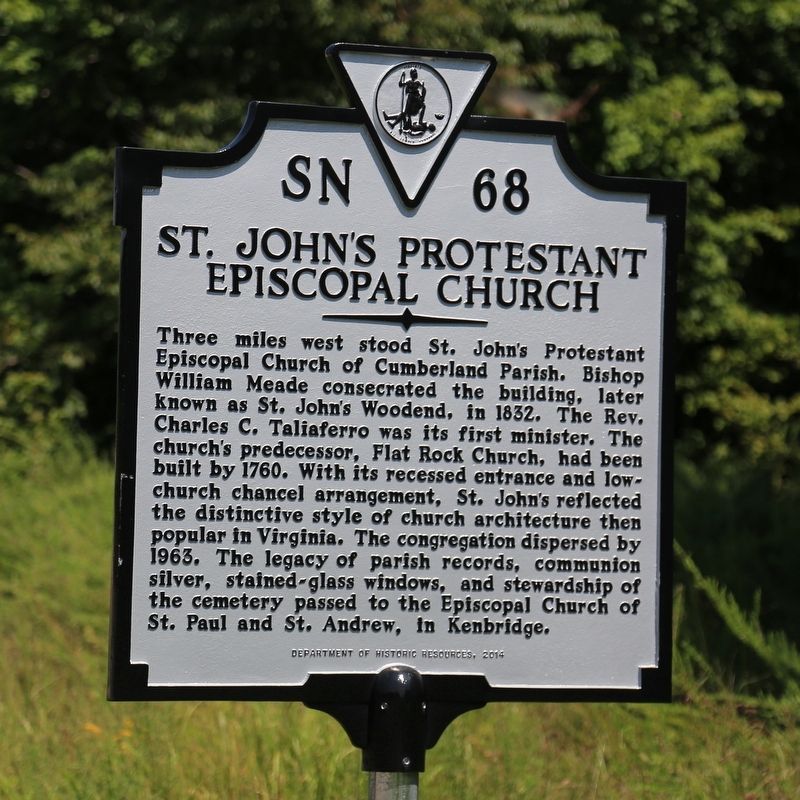
Photographed by J. J. Prats, August 21, 2017
1. St. John’s Protestant Episcopal Church Marker
Erected 2014 by Department of Historic Resources. (Marker Number SN-68.)
Topics and series. This historical marker is listed in this topic list: Religion & Religious Structures. In addition, it is included in the Virginia Department of Historic Resources (DHR) series list. A significant historical year for this entry is 1832.
Location. 36° 52.746′ N, 78° 4.995′ W. Marker is near Kenbridge, Virginia, in Lunenburg County. It is at the intersection of South
this page online

Regionally, this marker is in Virginia’s Piedmont, in Southside Virginia, and specifically in Central Virginia. It is also in the American South and specifically in the Upper South. Globally, it is in North America, the Western Hemisphere, the Western World, and the Anglosphere. Historically, it finds itself in what was once the territory of the Mississippian Culture, one of the original Thirteen Colonies, one of the Confederate States of America, and the Antebellum South.
Other nearby markers. At least 8 other markers are within 8 miles of this marker, measured as the crow flies: St. John’s Church (approx. 6 miles away); Craig's Mill (approx. 6.1 miles away); Town of Kenbridge (approx. 6.1 miles away); Kennedy's Store ca. 1908 (approx. 6.2 miles away); St. Luke's Episcopal Church (approx. 6.4 miles away); Danieltown (approx. 7 miles away); The Glebe of Cumberland Parish
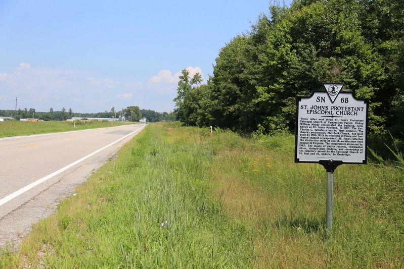
Photographed by J. J. Prats, August 21, 2017
2. St. John’s Protestant Episcopal Church Marker
Another marker is no longer nearby. Craig's Mill (was approx. 6.1 miles away but has been replaced with another marker now near it).
Credits. This page was last revised on August 30, 2017. It was originally submitted on August 30, 2017, by J. J. Prats of Powell, Ohio. This page has been viewed 749 times since then and 33 times this year. Photos: 1, 2. submitted on August 30, 2017, by J. J. Prats of Powell, Ohio.
Editor’s want-list for this marker. Old photos of the church • Photos of the cemetery • Photos of the stained glass windows, now at the Kenbridge parish hall • Can you help?
