Near Louisa in Louisa County, Virginia — The American South (Mid-Atlantic)
Richardson and Morton Schools
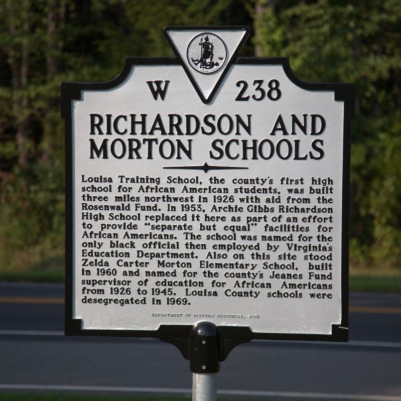
Photographed by J. J. Prats, August 21, 2017
1. Richardson and Morton Schools Marker
Louisa Training School, the county’s first high school for African American students, was built three miles northwest in 1926 with aid from the Rosenwald Fund. In 1953, Archie Gibbs Richardson High School replaced it here as part of an effort to provide “separate but equal” facilities for Afrícan Americans. The school was named for the only black official then employed by Virginia's Education Department. Also on this site stood Zelda Carter Morton Elementary School, built in 1960 and named for the county’s Jeanes Fund supervisor of education for African Americans from 1926 to 1945. Louisa County schools were desegregated in 1969.
Erected 2015 by Department of Historic Resources. (Marker Number W-238.)
Topics and series. This historical marker is listed in these topic lists: African Americans • Education. In addition, it is included in the Rosenwald Schools, and the Virginia Department of Historic Resources (DHR) series lists. A significant historical year for this entry is 1953.
Location. 37° 59.743′ N, 77° 57.763′ W. Marker is near Louisa, Virginia, in Louisa County. It is on Jefferson Highway (U.S.
this page online

Regionally, this marker is in the Piedmont and in Central Virginia. It is also in the American South and specifically in the Upper South. Globally, it is in North America, the Western Hemisphere, the Western World, and the Anglosphere. Historically, it finds itself in what was once the territory of the Mississippian Culture, one of the original Thirteen Colonies, one of the Confederate States of America, and the Antebellum South.
Other nearby markers. At least 8 other markers are within 3 miles of this marker, measured as the crow flies: Civilian Conservation Corps Company 2359 (approx. 2.4 miles away); Historic Louisa (approx. 2.7 miles away); Michie House (approx. 2.8 miles away); Hugh Hammond Bennett (1881-1960) (approx. 2.8 miles away); Trevilians Schoolhouse (approx. 2.8 miles away); Louisa United Methodist Church (approx. 2.9 miles away); John Mercer Langston Birthplace (approx. 3 miles away);
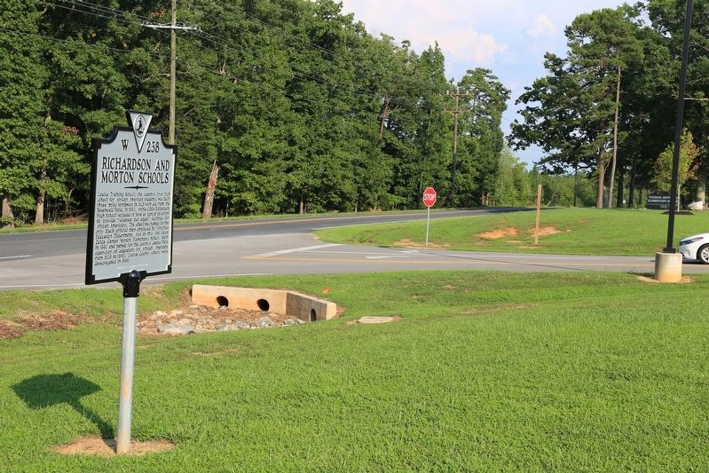
Photographed by J. J. Prats, August 21, 2017
2. Richardson and Morton Schools Marker
Another marker is no longer nearby. Louisa Rail Road track--1837 (was approx. 2.8 miles away but has been confirmed missing).
Also see . . . Rosenwald Schools. Piedmont Virginia Digital History website entry (Submitted on July 15, 2024, by Larry Gertner of New York, New York.)
Credits. This page was last revised on July 15, 2024. It was originally submitted on September 2, 2017, by J. J. Prats of Powell, Ohio. This page has been viewed 1,179 times since then and 65 times this year. Photos: 1, 2. submitted on September 2, 2017, by J. J. Prats of Powell, Ohio.
