Myersville in Frederick County, Maryland — The American Northeast (Mid-Atlantic)
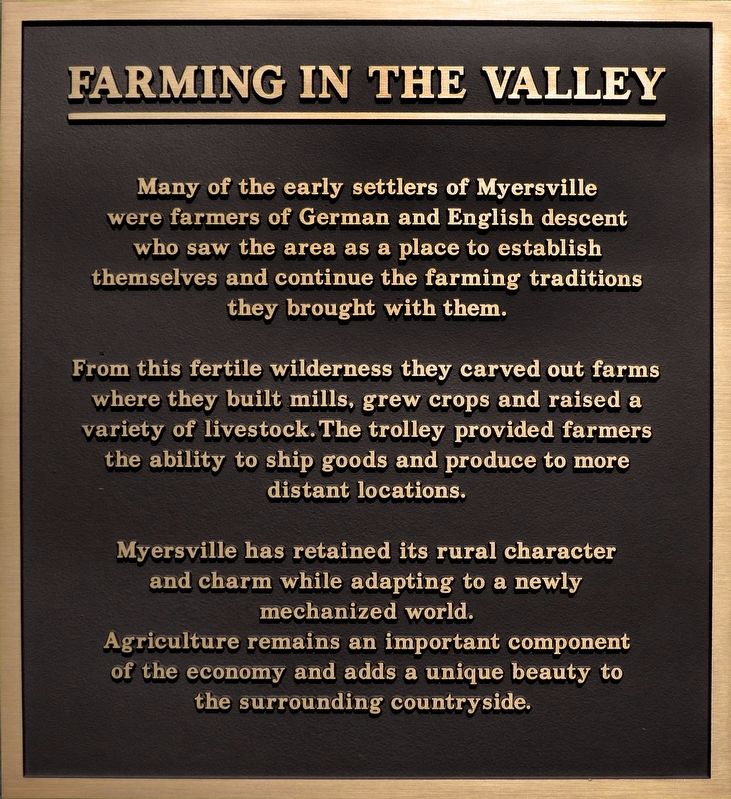
Farming in the Valley
From this fertile wilderness they carved out farms where they built mills, grew crops and raised a variety of livestock. The trolley provided farmers the ability to ship goods and produce to more distant locations.
Myersville has retained its rural character and charm while adapting to a newly mechanized world. Agriculture remains an important component of the economy and adds a unique beauty to the surrounding countryside
Topics. This historical marker is listed in this topic list: Agriculture.
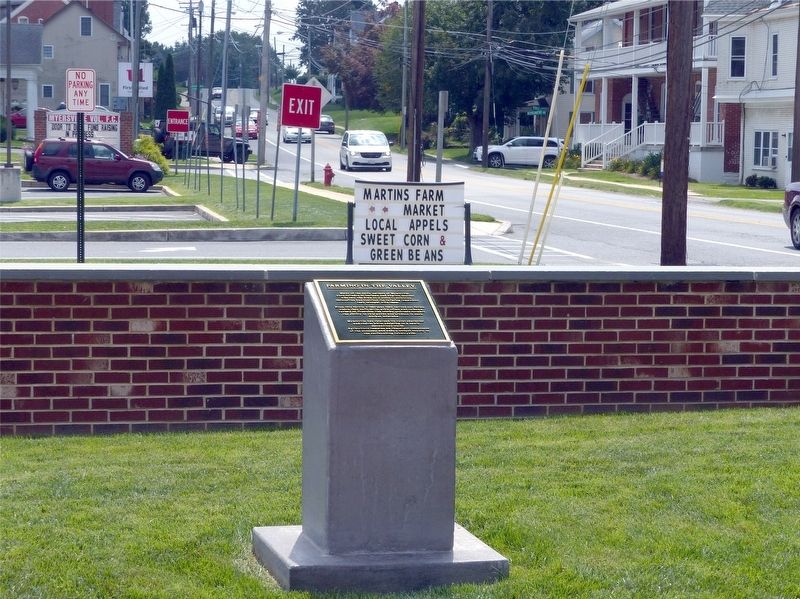
Location. 39° 30.388′ N, 77° 33.986′ W. Marker is in Myersville, Maryland, in Frederick County. Marker can be reached from the intersection of Main street and Trolley Lane. This marker is in Myersville's Memorial Park. Touch for map. Marker is in this post office area: Myersville MD 21773, United States of America. Touch for directions.
Other nearby markers. At least 8 other markers are within 3 miles of this marker, measured as the crow flies. The H & F Trolley (here, next to this marker); Religious Traditions (a few steps from this marker); Trolley Station (within shouting distance of this marker); The First Churches of Western Maryland (approx. 1.4 miles away); The Battle of Antietam (approx. 2.2 miles away); Camp David (approx. 2.2 miles away); Underground Railroad (approx. 2.2 miles away); Explore Maryland at the Crossroads of Conflict (approx. 2.2 miles away). Touch for a list and map of all markers in Myersville.
Credits. This page was last revised on September 8, 2017. It was originally submitted on September 7, 2017, by Allen C. Browne of Silver Spring, Maryland. This page has been viewed 158 times since then and 11 times this year. Photos: 1, 2. submitted on September 7, 2017, by Allen C. Browne of Silver Spring, Maryland. • Bill Pfingsten was the editor who published this page.

