Albany in Dougherty County, Georgia — The American South (South Atlantic)
Ray Charles
1930-2004
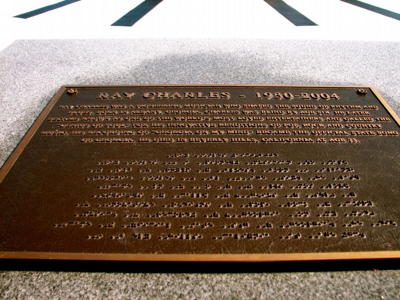
Photographed by Sandra Hughes, October 25, 2008
1. Ray Charles Marker
Topics. This historical marker is listed in these topic lists: Arts, Letters, Music • Entertainment.
Location. 31° 34.567′ N, 84° 8.923′ W. Marker is in Albany, Georgia, in Dougherty County. It is on South Front Street 0 miles south of West Broad Avenue (Georgia Route 133), on the left when traveling south. Touch for map. Marker is at or near this postal address: 100 S Front Street, Albany GA 31701, United States of America. Touch for directions.

Regionally, this marker is on Georgia’s Coastal Plain. It is also in the American South and specifically in the Deep South. Globally, it is in North America, the Western Hemisphere, the Western
this page online
Other nearby markers. At least 8 other markers are within walking distance of this marker: Flint River Bridge World War I Memorial (about 300 feet away, measured in a direct line); Korean War Memorial (about 400 feet away); WW II Memorial (about 400 feet away); Spec 4 James Earl Worthy (about 400 feet away); Vietnam War Memorial (about 400 feet away); The Bridge House (about 500 feet away); Nelson Tift (about 600 feet away); Flood of July 7, 1994 (about 600 feet away). Touch for a list and map of all markers in Albany.
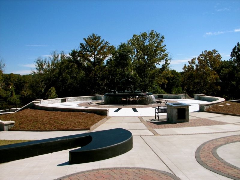
Photographed by Sandra Hughes, October 25, 2008
2. Ray Charles Marker
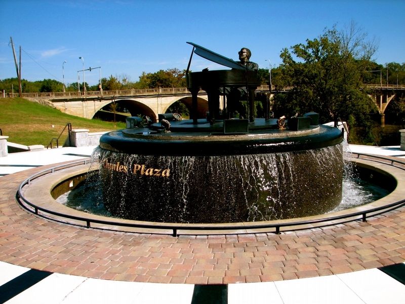
Photographed by Sandra Hughes, October 25, 2008
3. Ray Charles statue in the plaza
Credits. This page was last revised on June 13, 2020. It was originally submitted on August 17, 2017, by Sandra Hughes Tidwell of Killen, Alabama, USA. This page has been viewed 654 times since then and 38 times this year. Last updated on September 8, 2017, by Byron Hooks of Sandy Springs, Georgia. Photos: 1, 2, 3. submitted on August 17, 2017, by Sandra Hughes Tidwell of Killen, Alabama, USA. • David Seibert was the editor who published this page.
